37 Ambush Rd Roundup, MT 59072
Estimated Value: $471,805 - $481,000
4
Beds
2
Baths
2,406
Sq Ft
$198/Sq Ft
Est. Value
About This Home
This home is located at 37 Ambush Rd, Roundup, MT 59072 and is currently estimated at $477,268, approximately $198 per square foot. 37 Ambush Rd is a home located in Musselshell County with nearby schools including Roundup Elementary School, Roundup Junior High School, and Roundup High School.
Create a Home Valuation Report for This Property
The Home Valuation Report is an in-depth analysis detailing your home's value as well as a comparison with similar homes in the area
Tax History
| Year | Tax Paid | Tax Assessment Tax Assessment Total Assessment is a certain percentage of the fair market value that is determined by local assessors to be the total taxable value of land and additions on the property. | Land | Improvement |
|---|---|---|---|---|
| 2025 | $1,311 | $306,914 | $0 | $0 |
| 2024 | $1,590 | $233,786 | $0 | $0 |
| 2023 | $1,319 | $233,786 | $0 | $0 |
| 2022 | $1,681 | $212,570 | $0 | $0 |
| 2021 | $1,413 | $212,570 | $0 | $0 |
| 2020 | $1,513 | $202,655 | $0 | $0 |
| 2019 | $1,940 | $202,655 | $0 | $0 |
| 2018 | $1,715 | $205,460 | $0 | $0 |
| 2017 | $1,676 | $205,460 | $0 | $0 |
| 2016 | $1,782 | $197,980 | $0 | $0 |
| 2015 | $1,500 | $197,980 | $0 | $0 |
| 2014 | $1,257 | $92,613 | $0 | $0 |
Source: Public Records
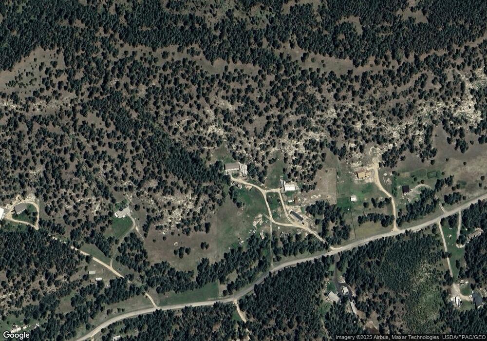
Map
Nearby Homes
- 47 Mountain View Rd
- 31 Three Forks Way
- 81 N Canyon Dr
- 3698 U S 87
- 245 Johnny's Coal Rd
- 262 Roland Rd
- tbd Buckskin Rd
- 18 & 20 Meadow View Ln
- 0 Buckskin Rd
- Tbd Buckskin Rd
- TBA Eagle Ridge Rd
- 20 Acres Roland Rd
- TBD Blue Rd
- 101 Smith Rd
- 51 Buckskin Rd
- 52 Buckskin Rd
- 252 Harper Coulee Rd
- TBD Smith Ct
- 24 Klein Rd
- 154 Old Divide Rd
Your Personal Tour Guide
Ask me questions while you tour the home.