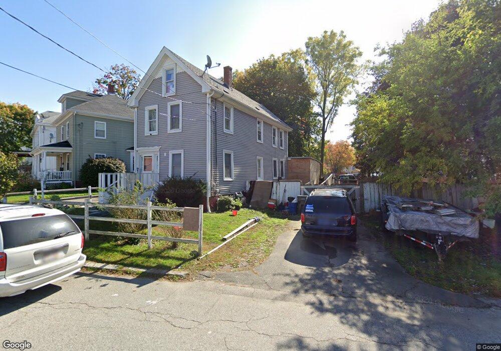
37 Ashland St Haverhill, MA 01830
Highlands NeighborhoodEstimated Value: $527,913 - $556,000
4
Beds
2
Baths
2,097
Sq Ft
$258/Sq Ft
Est. Value
About This Home
This home is located at 37 Ashland St, Haverhill, MA 01830 and is currently estimated at $539,978, approximately $257 per square foot. 37 Ashland St is a home located in Essex County with nearby schools including Dr. Paul Nettle Middle School.
Ownership History
Date
Name
Owned For
Owner Type
Purchase Details
Closed on
Jan 8, 2008
Sold by
Novastar Mortgage Inc
Bought by
Federo Eugenia
Current Estimated Value
Purchase Details
Closed on
Dec 17, 2007
Sold by
Orr Gary
Bought by
Novastar Mortgage Inc
Purchase Details
Closed on
Jun 18, 2004
Sold by
Ethier Donald A and Ethier Joy A
Bought by
Orr Gary and Orr Judith
Purchase Details
Closed on
Nov 20, 1997
Sold by
Gould Robert L and Gould Linda J
Bought by
Ethier Donald A and Ethier Joy A
Create a Home Valuation Report for This Property
The Home Valuation Report is an in-depth analysis detailing your home's value as well as a comparison with similar homes in the area
Home Values in the Area
Average Home Value in this Area
Purchase History
| Date | Buyer | Sale Price | Title Company |
|---|---|---|---|
| Federo Eugenia | $180,000 | -- | |
| Novastar Mortgage Inc | $238,957 | -- | |
| Orr Gary | $241,680 | -- | |
| Ethier Donald A | $85,000 | -- |
Source: Public Records
Mortgage History
| Date | Status | Borrower | Loan Amount |
|---|---|---|---|
| Previous Owner | Ethier Donald A | $281,000 | |
| Previous Owner | Ethier Donald A | $20,601 |
Source: Public Records
Tax History Compared to Growth
Tax History
| Year | Tax Paid | Tax Assessment Tax Assessment Total Assessment is a certain percentage of the fair market value that is determined by local assessors to be the total taxable value of land and additions on the property. | Land | Improvement |
|---|---|---|---|---|
| 2025 | $4,527 | $422,700 | $159,500 | $263,200 |
| 2024 | $4,216 | $396,200 | $151,900 | $244,300 |
| 2023 | $4,171 | $374,100 | $151,900 | $222,200 |
| 2022 | $3,997 | $314,200 | $139,800 | $174,400 |
| 2021 | $3,720 | $276,800 | $124,600 | $152,200 |
| 2020 | $3,642 | $267,800 | $118,500 | $149,300 |
| 2019 | $3,524 | $252,600 | $103,300 | $149,300 |
| 2018 | $3,367 | $236,100 | $97,200 | $138,900 |
| 2017 | $3,158 | $210,700 | $83,600 | $127,100 |
| 2016 | $2,888 | $188,000 | $63,800 | $124,200 |
| 2015 | $2,886 | $188,000 | $63,800 | $124,200 |
Source: Public Records
Map
Nearby Homes
- 20 Ashland St
- 23 Arlington St
- 7 Clinton St Unit 4
- 17 Arlington St
- 13-15 Arlington St
- 27 Webster St
- 8 Bartlett Ave Unit 5
- 16 Fountain St
- 48 Portland St
- 16 Dudley St
- 25 Portland St
- 25-27 Dover St
- 17 Vine St
- 8 Dustin St
- 4 Michael Anthony Rd
- 2 Michael Anthony Rd
- 34 7th Ave
- 151 Franklin St
- 6 Dexter St
- 5 Kimball St
- 41 Ashland St
- 43 Ashland St
- 43 Ahland St Unit 1
- 31 Ashland St Unit 6
- 31 Ashland St Unit 4
- 31 Ashland St Unit 1
- 31 Ashland St Unit 2
- 31 Ashland St Unit 1-33
- 31 Ashland St Unit 3
- 31 Ashland St Unit 3R
- 31 Ashland St Unit 7
- 31-33 Ashland Street 3
- 25 Ashland St
- 20 Ashland St Unit 1
- 92 Webster St Unit 2
- 92 Webster St Unit 1
- 9 Travers St Unit 11
- 27 Ashland St
- 90 Webster St
- 86 Webster St