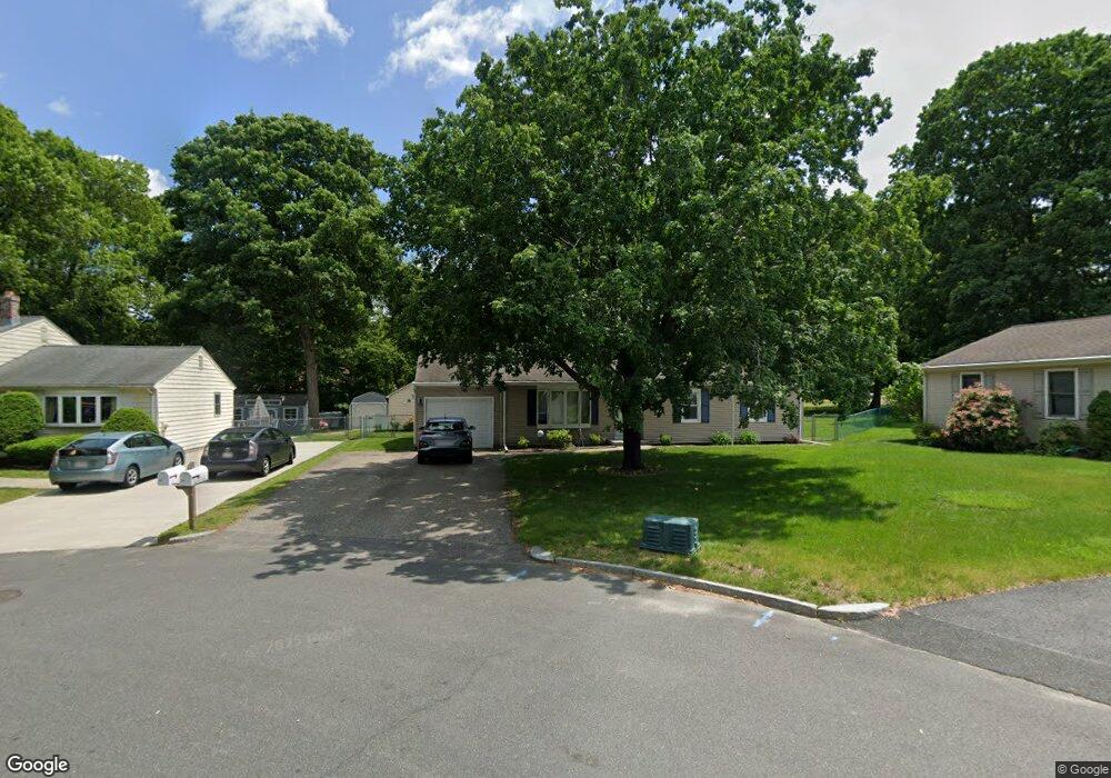
37 Baird Trace Springfield, MA 01118
East Forest Park NeighborhoodEstimated Value: $307,000 - $340,000
3
Beds
1
Bath
1,104
Sq Ft
$295/Sq Ft
Est. Value
About This Home
This home is located at 37 Baird Trace, Springfield, MA 01118 and is currently estimated at $325,615, approximately $294 per square foot. 37 Baird Trace is a home located in Hampden County with nearby schools including Frederick Harris Elementary School, M Marcus Kiley Middle, and Springfield High School of Science and Technology.
Ownership History
Date
Name
Owned For
Owner Type
Purchase Details
Closed on
Jun 17, 1983
Bought by
Laroche Richard A and Laroche Deborah J
Current Estimated Value
Create a Home Valuation Report for This Property
The Home Valuation Report is an in-depth analysis detailing your home's value as well as a comparison with similar homes in the area
Home Values in the Area
Average Home Value in this Area
Purchase History
| Date | Buyer | Sale Price | Title Company |
|---|---|---|---|
| Laroche Richard A | $53,600 | -- |
Source: Public Records
Mortgage History
| Date | Status | Borrower | Loan Amount |
|---|---|---|---|
| Open | Laroche Richard A | $120,000 | |
| Closed | Laroche Richard A | $50,000 | |
| Closed | Laroche Richard A | $44,000 | |
| Closed | Laroche Richard A | $20,000 |
Source: Public Records
Tax History
| Year | Tax Paid | Tax Assessment Tax Assessment Total Assessment is a certain percentage of the fair market value that is determined by local assessors to be the total taxable value of land and additions on the property. | Land | Improvement |
|---|---|---|---|---|
| 2025 | $4,670 | $297,800 | $55,200 | $242,600 |
| 2024 | $4,349 | $270,800 | $55,200 | $215,600 |
| 2023 | $4,123 | $241,800 | $52,500 | $189,300 |
| 2022 | $4,026 | $213,900 | $52,500 | $161,400 |
| 2021 | $4,018 | $212,600 | $47,800 | $164,800 |
| 2020 | $3,775 | $193,300 | $47,800 | $145,500 |
| 2019 | $3,666 | $186,300 | $47,800 | $138,500 |
| 2018 | $3,531 | $179,400 | $47,800 | $131,600 |
| 2017 | $3,492 | $177,600 | $47,800 | $129,800 |
| 2016 | $3,142 | $159,800 | $47,800 | $112,000 |
| 2015 | $3,051 | $155,100 | $47,800 | $107,300 |
Source: Public Records
Map
Nearby Homes
- 55 Allen St
- 101 Regal St
- 120 Bridle Path Rd
- 647 Plumtree Rd
- 19 Manor Ct Unit 19
- 17 Pebble Mill Rd
- 86 Talmadge Dr
- 85 Talmadge Dr
- 24 Wands St
- 125 Manor Ct Unit 125
- 509 Plumtree Rd
- 81 W Crystal Brook Dr
- 37 Chesterfield Ave
- 86 Wildwood Ave
- 206 Treetop Ave
- 41 Hillside Dr
- 55 Old Farm Rd
- 47 Hartford Terrace
- 75 Gillette Cir
- 384 Abbott St
Your Personal Tour Guide
Ask me questions while you tour the home.