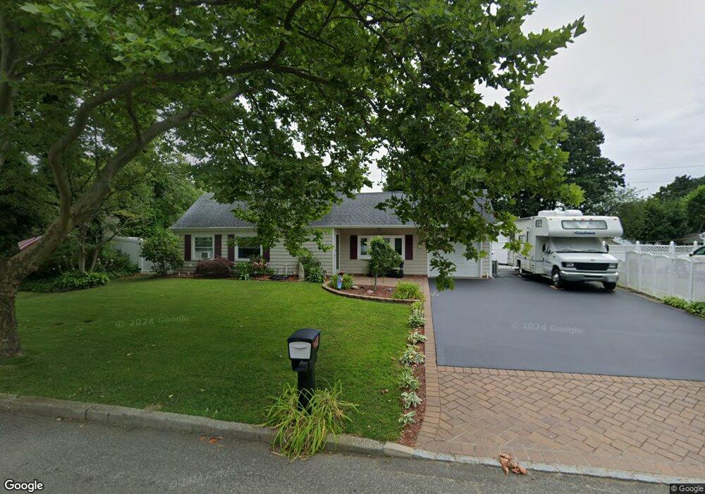
37 Balsam Dr Medford, NY 11763
Estimated Value: $483,000 - $626,000
3
Beds
1
Bath
1,488
Sq Ft
$374/Sq Ft
Est. Value
About This Home
This home is located at 37 Balsam Dr, Medford, NY 11763 and is currently estimated at $557,195, approximately $374 per square foot. 37 Balsam Dr is a home located in Suffolk County with nearby schools including Patchogue-Medford High School and Victory Christian Academy.
Ownership History
Date
Name
Owned For
Owner Type
Purchase Details
Closed on
Jan 8, 2002
Sold by
Covais Dean and Covais Lisa
Bought by
Covais Lisa
Current Estimated Value
Home Financials for this Owner
Home Financials are based on the most recent Mortgage that was taken out on this home.
Original Mortgage
$17,000
Outstanding Balance
$6,996
Interest Rate
6.85%
Mortgage Type
Credit Line Revolving
Estimated Equity
$550,199
Purchase Details
Closed on
Aug 1, 1995
Sold by
Lokay Scott and Lokay Nydia
Bought by
Covais Dean and Covais Lisa
Create a Home Valuation Report for This Property
The Home Valuation Report is an in-depth analysis detailing your home's value as well as a comparison with similar homes in the area
Home Values in the Area
Average Home Value in this Area
Purchase History
| Date | Buyer | Sale Price | Title Company |
|---|---|---|---|
| Covais Lisa | -- | -- | |
| Covais Dean | $8,500 | Commonwealth Land Title |
Source: Public Records
Mortgage History
| Date | Status | Borrower | Loan Amount |
|---|---|---|---|
| Open | Covais Lisa | $17,000 | |
| Open | Covais Lisa | $136,000 |
Source: Public Records
Tax History Compared to Growth
Tax History
| Year | Tax Paid | Tax Assessment Tax Assessment Total Assessment is a certain percentage of the fair market value that is determined by local assessors to be the total taxable value of land and additions on the property. | Land | Improvement |
|---|---|---|---|---|
| 2024 | $9,662 | $2,300 | $250 | $2,050 |
| 2023 | $9,662 | $2,300 | $250 | $2,050 |
| 2022 | $8,395 | $2,300 | $250 | $2,050 |
| 2021 | $8,395 | $2,300 | $250 | $2,050 |
| 2020 | $8,691 | $2,300 | $250 | $2,050 |
| 2019 | $8,691 | $0 | $0 | $0 |
| 2018 | $8,114 | $2,300 | $250 | $2,050 |
| 2017 | $8,114 | $2,300 | $250 | $2,050 |
| 2016 | $7,947 | $2,300 | $250 | $2,050 |
| 2015 | -- | $2,300 | $250 | $2,050 |
| 2014 | -- | $2,300 | $250 | $2,050 |
Source: Public Records
Map
Nearby Homes
- 3 Lacebark Ln
- 8 Nantucket Dr
- 10 Matsunaye Dr
- 19 Carson Ln
- 302 Bridgeport Ave
- 22 Apple Blossom Ln
- 4 Mercury Ave
- 10 Munson St
- 53 Drake Ave
- 89 Rustic Ave
- 113 Camille Ln
- 50 Forte Ave
- 52 White Pine Way
- 102 Camille Ln
- 5 Torrey Pine Ln
- 16 Malcolm St
- 20 Malcolm St
- 360 Woodside Ave
- 75 White Pine Way
- 8 Michael Ave