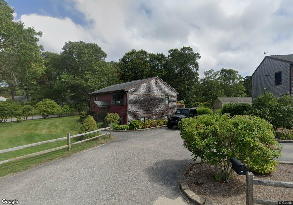
37 Barker Rd East Wareham, MA 02538
White Island Shores NeighborhoodEstimated Value: $407,000 - $468,000
2
Beds
1
Bath
884
Sq Ft
$493/Sq Ft
Est. Value
About This Home
This home is located at 37 Barker Rd, East Wareham, MA 02538 and is currently estimated at $435,579, approximately $492 per square foot. 37 Barker Rd is a home located in Plymouth County with nearby schools including South Elementary School, Plymouth South Middle School, and Plymouth South High School.
Ownership History
Date
Name
Owned For
Owner Type
Purchase Details
Closed on
Apr 27, 1999
Sold by
Rodrigues Lori J
Bought by
Chruniak Philip M
Current Estimated Value
Home Financials for this Owner
Home Financials are based on the most recent Mortgage that was taken out on this home.
Original Mortgage
$79,170
Interest Rate
6.95%
Create a Home Valuation Report for This Property
The Home Valuation Report is an in-depth analysis detailing your home's value as well as a comparison with similar homes in the area
Home Values in the Area
Average Home Value in this Area
Purchase History
| Date | Buyer | Sale Price | Title Company |
|---|---|---|---|
| Chruniak Philip M | $6,000 | -- |
Source: Public Records
Mortgage History
| Date | Status | Borrower | Loan Amount |
|---|---|---|---|
| Open | Chruniak Philip M | $125,000 | |
| Closed | Chruniak Philip M | $79,170 |
Source: Public Records
Tax History
| Year | Tax Paid | Tax Assessment Tax Assessment Total Assessment is a certain percentage of the fair market value that is determined by local assessors to be the total taxable value of land and additions on the property. | Land | Improvement |
|---|---|---|---|---|
| 2025 | $4,326 | $415,200 | $119,900 | $295,300 |
| 2024 | $4,254 | $378,800 | $96,000 | $282,800 |
| 2023 | $3,834 | $337,700 | $87,500 | $250,200 |
| 2022 | $3,834 | $290,900 | $87,500 | $203,400 |
| 2021 | $3,703 | $275,300 | $87,500 | $187,800 |
| 2020 | $3,650 | $275,300 | $87,500 | $187,800 |
| 2019 | $3,897 | $293,200 | $90,400 | $202,800 |
| 2018 | $3,900 | $286,100 | $90,400 | $195,700 |
| 2017 | $3,619 | $269,100 | $90,400 | $178,700 |
| 2016 | $3,538 | $261,500 | $91,300 | $170,200 |
| 2015 | $3,158 | $241,600 | $91,300 | $150,300 |
| 2014 | $3,159 | $245,800 | $86,700 | $159,100 |
Source: Public Records
Map
Nearby Homes
- 108 Lake Ave
- 119 Lake Ave
- 167 Park Ave
- 4 Leisure Ln
- 9 Blissful Ln
- 47 Mayflower Way
- 8 Blackbird Ave
- 259 Park Ave
- 263 Lake Ave
- 118 Puritan Ave
- 52 Nickerson St
- 29 Walnut St
- 1 Downey St
- 11 Buzzards Bay Dr
- 157 Lakeview Blvd
- 137 Sandy Beach Rd
- 7 Central Ave
- 3 Michael Dr
- 13 Hideaway Village Unit G
- 29 Wenonah Rd
- 39 Barker Rd
- 0 Barker Rd
- 38 Barker Rd
- 32 Standish Ave
- 34 Standish Ave
- 36 Barker Rd
- 41 Barker Rd
- 30 Standish Ave
- 36 Standish Ave
- 22 Barker Rd
- 44 Barker Rd
- 21 Boysenberry Rd
- 44 Standish Ave
- 20 Standish Ave
- 47 Barker Rd
- 27 Standish Ave
- 46 Standish Ave
- 14 Standish Ave
- 0 Barker Rd Unit 70425325
- 0 Barker Rd Unit 2019686
Your Personal Tour Guide
Ask me questions while you tour the home.