37 Brooks Ridge Rd Newburgh, ME 04444
Estimated Value: $316,000 - $589,000
3
Beds
3
Baths
1,008
Sq Ft
$438/Sq Ft
Est. Value
About This Home
This home is located at 37 Brooks Ridge Rd, Newburgh, ME 04444 and is currently estimated at $441,957, approximately $438 per square foot. 37 Brooks Ridge Rd is a home.
Ownership History
Date
Name
Owned For
Owner Type
Purchase Details
Closed on
Jun 6, 2017
Sold by
Raye Monica R
Bought by
Ward-Downer Renita
Current Estimated Value
Purchase Details
Closed on
Jun 2, 2017
Sold by
Raye Monica R
Bought by
Ward-Downer Renita
Create a Home Valuation Report for This Property
The Home Valuation Report is an in-depth analysis detailing your home's value as well as a comparison with similar homes in the area
Purchase History
| Date | Buyer | Sale Price | Title Company |
|---|---|---|---|
| Ward-Downer Renita | -- | -- | |
| Ward-Downer Renita | -- | -- |
Source: Public Records
Tax History
| Year | Tax Paid | Tax Assessment Tax Assessment Total Assessment is a certain percentage of the fair market value that is determined by local assessors to be the total taxable value of land and additions on the property. | Land | Improvement |
|---|---|---|---|---|
| 2024 | $5,260 | $386,788 | $62,373 | $324,415 |
| 2023 | $4,528 | $351,026 | $56,548 | $294,478 |
| 2022 | $3,653 | $238,740 | $44,552 | $194,188 |
| 2021 | $3,173 | $199,580 | $41,124 | $158,456 |
| 2020 | $3,088 | $184,887 | $37,698 | $147,189 |
| 2019 | $2,958 | $168,079 | $34,271 | $133,808 |
| 2018 | $2,887 | $169,840 | $34,271 | $135,569 |
| 2017 | $2,694 | $171,600 | $34,271 | $137,329 |
| 2016 | $2,660 | $171,600 | $34,271 | $137,329 |
| 2015 | $3,814 | $173,360 | $34,271 | $139,089 |
| 2014 | $2,484 | $173,700 | $34,100 | $139,600 |
| 2013 | $2,388 | $173,700 | $34,100 | $139,600 |
Source: Public Records
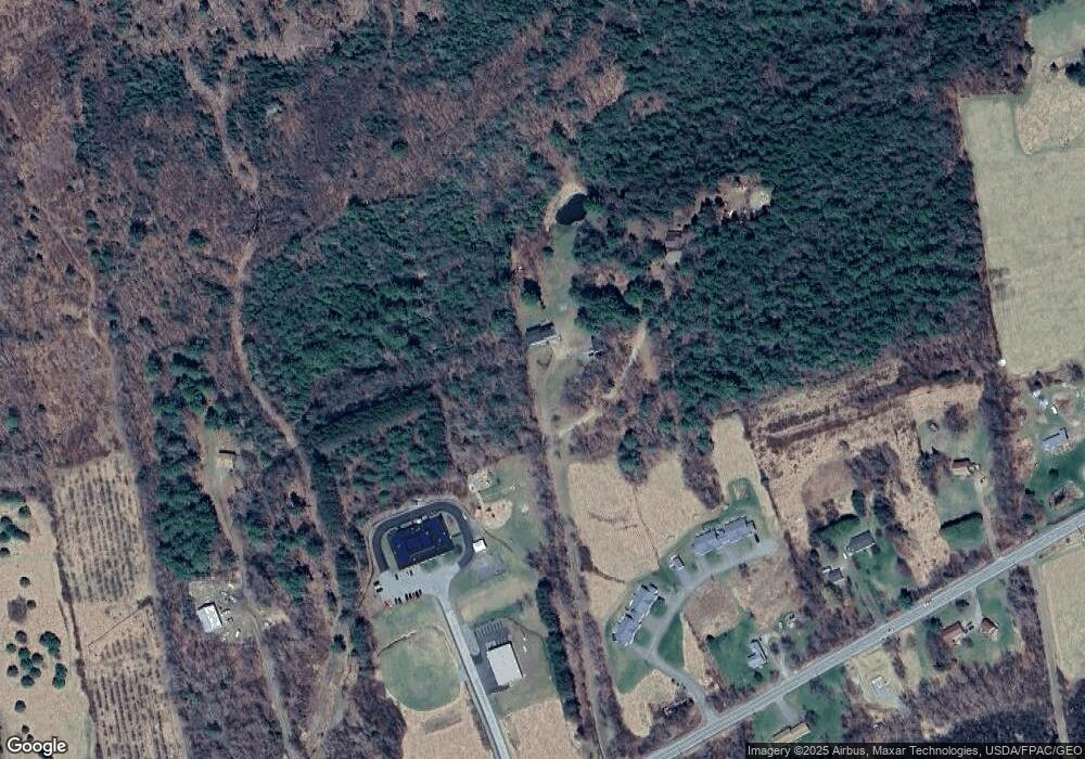
Map
Nearby Homes
- 2206 Carmel Rd N
- 1392 Carmel Rd N
- 2443 Carmel Rd N
- 1197 Western Ave
- 2490 Western Ave
- 2514 Western Ave
- 00 Babcock Rd
- 291 Sawyer Rd
- 25 Deer Hill Ln
- 9 Deer Hill Ln
- Lot 65 Freedom Ave
- 177 Shaw Hill Rd
- 125 Shaw Hill Rd
- TBD North Rd
- 130 Kennard Rd
- 81 Fowler Rd
- 1431 Kennebec Rd
- Lot #057 Kennebec Rd
- Lot 1 Dalton's Way
- Lot 2 Dalton's Way
- 34 Brooks Ridge Rd
- 2180 Western Ave
- 2170 Western Ave
- 2194 Western Ave
- 2177 Western Ave
- 2150 Western Ave
- 2197 Western Ave
- 86 Dragonfly Trail
- 2213 Western Ave Unit C
- 2213 Western Ave Unit A
- 2213 Western Ave
- 2214 Western Ave
- 2238 Western Ave
- 2238 Western Ave
- 2227 Western Ave
- 2250 Western Ave
- 2112 Western Ave
- 2245 Western Ave
- 57 Kimball Rd
- 00 Western Ave
Your Personal Tour Guide
Ask me questions while you tour the home.