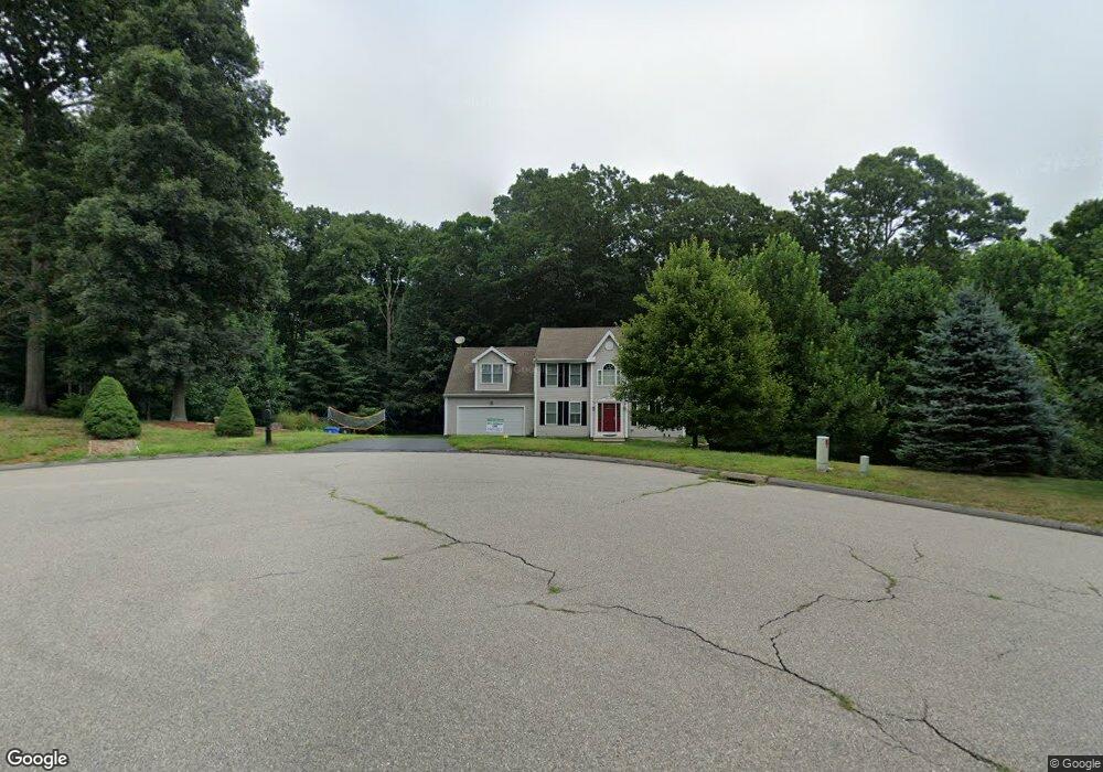
37 Brookside Dr Norwich, CT 06360
Yantic NeighborhoodEstimated Value: $405,000 - $550,000
4
Beds
3
Baths
2,154
Sq Ft
$232/Sq Ft
Est. Value
About This Home
This home is located at 37 Brookside Dr, Norwich, CT 06360 and is currently estimated at $499,886, approximately $232 per square foot. 37 Brookside Dr is a home located in New London County with nearby schools including Kelly STEAM Magnet Middle School, Stoneview Children's University, and Montessori Discovery School.
Ownership History
Date
Name
Owned For
Owner Type
Purchase Details
Closed on
Dec 11, 2007
Sold by
Brookside Belmont Hms
Bought by
Herr Michael and Herr Diane
Current Estimated Value
Home Financials for this Owner
Home Financials are based on the most recent Mortgage that was taken out on this home.
Original Mortgage
$288,500
Interest Rate
6.37%
Create a Home Valuation Report for This Property
The Home Valuation Report is an in-depth analysis detailing your home's value as well as a comparison with similar homes in the area
Home Values in the Area
Average Home Value in this Area
Purchase History
| Date | Buyer | Sale Price | Title Company |
|---|---|---|---|
| Herr Michael | $360,673 | -- | |
| Herr Michael | $360,673 | -- |
Source: Public Records
Mortgage History
| Date | Status | Borrower | Loan Amount |
|---|---|---|---|
| Open | Herr Michael | $300,055 | |
| Closed | Herr Michael | $306,333 | |
| Closed | Herr Michael | $288,500 |
Source: Public Records
Tax History Compared to Growth
Tax History
| Year | Tax Paid | Tax Assessment Tax Assessment Total Assessment is a certain percentage of the fair market value that is determined by local assessors to be the total taxable value of land and additions on the property. | Land | Improvement |
|---|---|---|---|---|
| 2025 | $10,648 | $305,900 | $74,300 | $231,600 |
| 2024 | $10,171 | $305,900 | $74,300 | $231,600 |
| 2023 | $8,416 | $201,100 | $68,200 | $132,900 |
| 2022 | $8,482 | $201,100 | $68,200 | $132,900 |
| 2021 | $8,517 | $201,100 | $68,200 | $132,900 |
| 2020 | $8,527 | $201,200 | $68,300 | $132,900 |
| 2019 | $8,177 | $201,200 | $68,300 | $132,900 |
| 2018 | $8,607 | $207,600 | $78,000 | $129,600 |
| 2017 | $8,443 | $207,600 | $78,000 | $129,600 |
| 2016 | $8,655 | $207,600 | $78,000 | $129,600 |
| 2015 | $8,593 | $207,600 | $78,000 | $129,600 |
| 2014 | $8,034 | $205,800 | $78,000 | $127,800 |
Source: Public Records
Map
Nearby Homes
- 230 Vergason Ave
- 47 Huntington Ave
- 60 Connecticut Ave
- 8 Vergason Ave
- 00 Plain Hill Rd
- 0 Myrtle Dr
- 6 Lee Ave
- 114 Yantic Rd
- 81 W Town St
- 64 Woodrow Ave
- 153 Otrobando Ave
- 134 Otrobando Ave
- 36 Scotland Rd
- 63 Route 32
- 26 Canterbury Turnpike
- 28 Otrobando Ave
- 14 Otrobando Ave
- 89 Canterbury Turnpike
- 380 Scotland Rd
- 178 Harland Rd
- 38 Brookside Dr
- 36 Brookside Dr
- 31 Brookside Dr
- 27 Brookside Dr
- 12 Brookside Dr
- 21 Brookside Dr
- 10 Brookside Dr
- 135 Vergason Ave
- 0 Brookside Dr
- 0 Brookside Dr
- 11 Brookside Dr
- 19 Brookside Dr
- 97 Vergason Ave
- 140 Vergason Ave
- 00 Vergason Ave
- 223 Vergason Ave
- 214 Vergason Ave
- 130 Vergason Ave
- 9 Brookside Dr
- 138 Plain Hill Rd