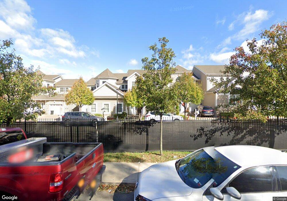
37 Chart Loop Staten Island, NY 10309
Charleston NeighborhoodEstimated Value: $805,000 - $894,000
Studio
4
Baths
2,365
Sq Ft
$359/Sq Ft
Est. Value
About This Home
This home is located at 37 Chart Loop, Staten Island, NY 10309 and is currently estimated at $850,161, approximately $359 per square foot. 37 Chart Loop is a home located in Richmond County with nearby schools including P.S. 6 Cpl Allan F Kivlehan School, Is 34 Tottenville, and Tottenville High School.
Ownership History
Date
Name
Owned For
Owner Type
Purchase Details
Closed on
Mar 17, 2023
Sold by
Shaatal Real Estate Keystone Trust
Bought by
Patricia Dicapua Irrevocable Trust
Current Estimated Value
Purchase Details
Closed on
Jul 16, 2019
Sold by
Shaatal Jonathan and Schpreclunan Elana
Bought by
Shaatal Jonathan and Schpreclunan Elana
Purchase Details
Closed on
Feb 25, 2009
Sold by
Pc Group Llc
Bought by
Shaatal Jonathan and Schprechman Elena
Create a Home Valuation Report for This Property
The Home Valuation Report is an in-depth analysis detailing your home's value as well as a comparison with similar homes in the area
Home Values in the Area
Average Home Value in this Area
Purchase History
| Date | Buyer | Sale Price | Title Company |
|---|---|---|---|
| Patricia Dicapua Irrevocable Trust | $750,000 | Wfg National Title | |
| Shaatal Jonathan | -- | Alr Abstract Services Llc | |
| Shaatal Jonathan | $528,471 | None Available |
Source: Public Records
Tax History
| Year | Tax Paid | Tax Assessment Tax Assessment Total Assessment is a certain percentage of the fair market value that is determined by local assessors to be the total taxable value of land and additions on the property. | Land | Improvement |
|---|---|---|---|---|
| 2025 | $8,761 | $44,160 | $15,957 | $28,203 |
| 2024 | $8,761 | $43,620 | $15,774 | $27,846 |
| 2023 | $8,651 | $42,595 | $14,198 | $28,397 |
| 2022 | $8,193 | $42,180 | $15,240 | $26,940 |
| 2021 | $8,622 | $41,160 | $15,240 | $25,920 |
| 2020 | $8,442 | $41,880 | $15,240 | $26,640 |
| 2019 | $7,871 | $43,560 | $15,240 | $28,320 |
| 2018 | $7,236 | $35,496 | $14,379 | $21,117 |
| 2017 | $6,972 | $34,200 | $15,240 | $18,960 |
| 2016 | $1,405 | $34,140 | $15,240 | $18,900 |
| 2015 | $814 | $33,235 | $16,826 | $16,409 |
| 2014 | $814 | $31,354 | $16,874 | $14,480 |
Source: Public Records
Map
Nearby Homes
- 15 Topside Ln
- 20 Tides Ln
- 35 Tiller Ct
- 45 Tiller Ct
- 4795 Arthur Kill Rd
- 71 Kreischer St
- 75 Kreischer St
- 81 Kreischer St
- 83 Kreischer St
- 85 Kreischer St
- 54 Kreischer St
- 97-99 Englewood Ave
- 0 Winant Place
- 150 Weiner St
- 282 Boscombe Ave
- 333 Boscombe Ave
- 397 Ellis St
- 55 Quail Ln
- 5265 Arthur Kill Rd
- 24 Darnell Ln
Your Personal Tour Guide
Ask me questions while you tour the home.