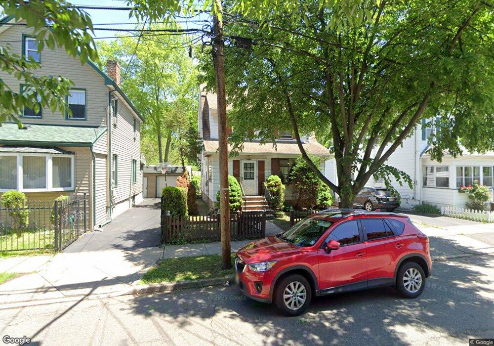
37 Clinton St Bloomfield, NJ 07003
Estimated Value: $540,000 - $667,000
Studio
--
Bath
1,959
Sq Ft
$310/Sq Ft
Est. Value
About This Home
This home is located at 37 Clinton St, Bloomfield, NJ 07003 and is currently estimated at $608,140, approximately $310 per square foot. 37 Clinton St is a home located in Essex County with nearby schools including Watsessing Elementary School, Bloomfield Middle School, and Bloomfield High School.
Ownership History
Date
Name
Owned For
Owner Type
Purchase Details
Closed on
Dec 1, 1997
Sold by
Griffin Robert
Bought by
Head Jeremiah
Current Estimated Value
Home Financials for this Owner
Home Financials are based on the most recent Mortgage that was taken out on this home.
Original Mortgage
$137,000
Outstanding Balance
$23,014
Interest Rate
7.15%
Mortgage Type
FHA
Estimated Equity
$585,126
Create a Home Valuation Report for This Property
The Home Valuation Report is an in-depth analysis detailing your home's value as well as a comparison with similar homes in the area
Home Values in the Area
Average Home Value in this Area
Purchase History
| Date | Buyer | Sale Price | Title Company |
|---|---|---|---|
| Head Jeremiah | $138,000 | -- |
Source: Public Records
Mortgage History
| Date | Status | Borrower | Loan Amount |
|---|---|---|---|
| Open | Head Jeremiah | $137,000 |
Source: Public Records
Tax History
| Year | Tax Paid | Tax Assessment Tax Assessment Total Assessment is a certain percentage of the fair market value that is determined by local assessors to be the total taxable value of land and additions on the property. | Land | Improvement |
|---|---|---|---|---|
| 2025 | $13,514 | $398,400 | $158,800 | $239,600 |
| 2024 | $13,020 | $398,400 | $158,800 | $239,600 |
| 2022 | $12,757 | $398,400 | $158,800 | $239,600 |
| 2021 | $12,522 | $398,400 | $158,800 | $239,600 |
| 2020 | $12,330 | $398,400 | $158,800 | $239,600 |
| 2019 | $11,573 | $290,700 | $123,000 | $167,700 |
| 2018 | $11,523 | $290,700 | $123,000 | $167,700 |
| 2017 | $11,349 | $290,700 | $123,000 | $167,700 |
| 2016 | $11,221 | $290,700 | $123,000 | $167,700 |
| 2015 | $11,119 | $290,700 | $123,000 | $167,700 |
| 2014 | $10,916 | $290,700 | $123,000 | $167,700 |
Source: Public Records
Map
Nearby Homes
- 54 Thomas St
- 198 Glenwood Ave
- 158 Glenwood Ave
- 214 Ashland Ave
- 105 Midland Ave
- 14 Crown St Unit 16
- 14-16 Crown St
- 545 Bloomfield Ave
- 660 Bloomfield Ave Unit 402
- 660 Bloomfield Ave Unit 403
- 93 Hill St
- 60 Fulton St
- 48 Laurel Ave
- 0 Broad St
- 7 Myrtle St Unit 10
- 5 Hinrichs Place Unit 2
- 43 Charles St
- 60 Ella St
- 27 Oakland Ave
- 21 Dodd St
- 35 Clinton St
- 33 Clinton St
- 64 Linden Ave
- 60 Linden Ave
- 31 Clinton St
- 70 Linden Ave
- 54 Linden Ave
- 54 Linden Ave Unit 1
- 54 Linden Ave Unit 3
- 54 Linden Ave Unit 2
- 25 Clinton St
- 52 Linden Ave
- 44 Clinton St
- 44 Clinton St Unit 2
- 44 Clinton St Unit 1
- 34 Clinton St
- 50 Linden Ave
- 50 Linden Ave Unit 2
- 21 Clinton St
- 44 Thomas St
Your Personal Tour Guide
Ask me questions while you tour the home.