Estimated Value: $399,000 - $435,000
--
Bed
--
Bath
2,022
Sq Ft
$206/Sq Ft
Est. Value
About This Home
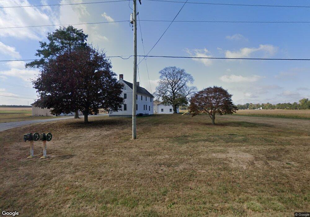
This home is located at 37 Colson Rd, Elmer, NJ 08318 and is currently estimated at $415,775, approximately $205 per square foot. 37 Colson Rd is a home located in Salem County with nearby schools including Upper Pittsgrove School.
Ownership History
Date
Name
Owned For
Owner Type
Purchase Details
Closed on
Sep 15, 2017
Sold by
Buzby Thomas W and Buzby Linda S
Bought by
Buzby Thomas W
Current Estimated Value
Purchase Details
Closed on
Apr 14, 2015
Sold by
Buzby Thomas W and Buzby Linda S
Bought by
Buzby Thomas W and Buzby Linda S
Purchase Details
Closed on
Jul 2, 1996
Sold by
Buzby Thomas W and Buzby Linda S
Bought by
Buzby Thomas W and Buzby Linda S
Home Financials for this Owner
Home Financials are based on the most recent Mortgage that was taken out on this home.
Original Mortgage
$60,000
Interest Rate
7.95%
Create a Home Valuation Report for This Property
The Home Valuation Report is an in-depth analysis detailing your home's value as well as a comparison with similar homes in the area
Home Values in the Area
Average Home Value in this Area
Purchase History
| Date | Buyer | Sale Price | Title Company |
|---|---|---|---|
| Buzby Thomas W | -- | None Available | |
| Buzby Thomas W | -- | None Available | |
| Buzby Thomas | $27,784 | None Available | |
| Stella Edward J | -- | None Available | |
| Buzby Thomas W | -- | -- |
Source: Public Records
Mortgage History
| Date | Status | Borrower | Loan Amount |
|---|---|---|---|
| Previous Owner | Buzby Thomas W | $60,000 |
Source: Public Records
Tax History Compared to Growth
Tax History
| Year | Tax Paid | Tax Assessment Tax Assessment Total Assessment is a certain percentage of the fair market value that is determined by local assessors to be the total taxable value of land and additions on the property. | Land | Improvement |
|---|---|---|---|---|
| 2025 | $8,843 | $287,100 | $69,400 | $217,700 |
| 2024 | $8,558 | $287,100 | $69,400 | $217,700 |
| 2023 | $8,558 | $287,100 | $69,400 | $217,700 |
| 2022 | $8,369 | $287,100 | $69,400 | $217,700 |
| 2021 | $8,033 | $287,100 | $69,400 | $217,700 |
| 2020 | $7,505 | $275,600 | $69,400 | $206,200 |
| 2019 | $6,738 | $256,000 | $95,000 | $161,000 |
| 2018 | $6,433 | $256,000 | $95,000 | $161,000 |
| 2017 | $6,428 | $256,000 | $95,000 | $161,000 |
| 2016 | $6,147 | $256,000 | $95,000 | $161,000 |
| 2015 | $5,728 | $253,000 | $92,000 | $161,000 |
| 2014 | -- | $253,000 | $92,000 | $161,000 |
Source: Public Records
Map
Nearby Homes
- 522 Garrison Rd
- 17 Aldine Shirley Rd
- 752 Yorketown Rd
- 276 Woodstown Daretown Rd
- 280 Woodstown Daretown Rd
- 135 Avis Mill Rd
- 0 Yorketown Rd Unit NJSA139926
- 76 Whig Lane Rd
- 150 Williams Rd
- 432 Alloway Aldine Rd
- 106 Harrisonville Lake Rd
- 430 Front St
- 384 -386 Pine Tavern Rd
- 416 Broad St
- 310 N Main St
- 316 Broad St
- 308 Broad St
- 212 Broad St
- 152 N Main St
- 76 Chestnut St
- 22 Colson Rd
- 18 Colson Rd
- 12 Colson Rd
- 10 Colson Rd
- 2 Colson Rd
- 360 Daretown Rd
- 374 Daretown Rd
- 342 Daretown Rd
- 354 Daretown Rd
- 378 Daretown Rd
- 352 Daretown Rd
- L:12.02 Daretown Rd
- 336 Daretown Rd
- 4 Woodstown Daretown Rd
- 332 Daretown Rd
- 363 Daretown Rd
- 383 Daretown Rd
- 341 Daretown Rd
- 330 Daretown Rd
- 328 Daretown Rd