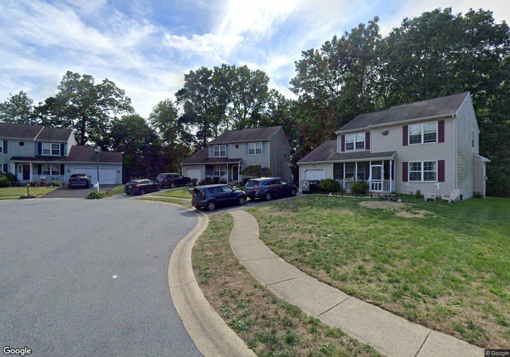
37 Deasy Dr Newark, DE 19702
Estimated Value: $377,000 - $455,000
3
Beds
3
Baths
1,944
Sq Ft
$221/Sq Ft
Est. Value
About This Home
This home is located at 37 Deasy Dr, Newark, DE 19702 and is currently estimated at $429,370, approximately $220 per square foot. 37 Deasy Dr is a home located in New Castle County with nearby schools including Oberle (William) Elementary School, Gauger-Cobbs Middle School, and Glasgow High School.
Ownership History
Date
Name
Owned For
Owner Type
Purchase Details
Closed on
Oct 6, 2003
Sold by
Ringgold William S and Cephas Michael A
Bought by
Wade Michael T and Wade Colleen
Current Estimated Value
Home Financials for this Owner
Home Financials are based on the most recent Mortgage that was taken out on this home.
Original Mortgage
$160,000
Outstanding Balance
$75,382
Interest Rate
6.35%
Mortgage Type
Purchase Money Mortgage
Estimated Equity
$353,988
Purchase Details
Closed on
Oct 22, 2001
Sold by
Ringgold William S
Bought by
Ringgold William S and Cephas Michael A
Purchase Details
Closed on
Jul 6, 2001
Sold by
Baldini West Inc
Bought by
Ringgold William S
Home Financials for this Owner
Home Financials are based on the most recent Mortgage that was taken out on this home.
Original Mortgage
$138,300
Interest Rate
9%
Create a Home Valuation Report for This Property
The Home Valuation Report is an in-depth analysis detailing your home's value as well as a comparison with similar homes in the area
Home Values in the Area
Average Home Value in this Area
Purchase History
| Date | Buyer | Sale Price | Title Company |
|---|---|---|---|
| Wade Michael T | $215,000 | -- | |
| Ringgold William S | -- | -- | |
| Ringgold William S | $172,900 | -- |
Source: Public Records
Mortgage History
| Date | Status | Borrower | Loan Amount |
|---|---|---|---|
| Open | Wade Michael T | $160,000 | |
| Previous Owner | Ringgold William S | $138,300 | |
| Closed | Ringgold William S | $34,600 |
Source: Public Records
Tax History
| Year | Tax Paid | Tax Assessment Tax Assessment Total Assessment is a certain percentage of the fair market value that is determined by local assessors to be the total taxable value of land and additions on the property. | Land | Improvement |
|---|---|---|---|---|
| 2024 | $3,529 | $80,300 | $12,600 | $67,700 |
| 2023 | $24 | $80,300 | $12,600 | $67,700 |
| 2022 | $3,413 | $80,300 | $12,600 | $67,700 |
| 2021 | $3,340 | $80,300 | $12,600 | $67,700 |
| 2020 | $3,248 | $80,300 | $12,600 | $67,700 |
| 2019 | $3,098 | $80,300 | $12,600 | $67,700 |
| 2018 | $2,816 | $80,300 | $12,600 | $67,700 |
| 2017 | $2,719 | $80,300 | $12,600 | $67,700 |
| 2016 | $2,698 | $80,300 | $12,600 | $67,700 |
| 2015 | $2,467 | $80,300 | $12,600 | $67,700 |
| 2014 | $2,469 | $80,300 | $12,600 | $67,700 |
Source: Public Records
Map
Nearby Homes
- 7 Gull Turn
- 5 Charcoal Ct
- 1916 Bellac Way
- 13 Christina Woods Ct
- 251 E Flagstone Dr
- 1863 Bergerac Ct
- 53 Whitson Dr
- 1858 Bergerac Ct
- 111 Tuckahoe Ln
- 12 Heron Ct
- 208 Yosemite Dr
- 110 Auckland Dr
- 11 Rossiter Cir
- 1944 Spearfish Ct
- 18 Kings Bridge Ct
- 6 Old Fence Ln
- 161 W Flagstone Dr
- 128 Darling St
- 433 Pierce Run
- 2047 Rivers Dr
Your Personal Tour Guide
Ask me questions while you tour the home.