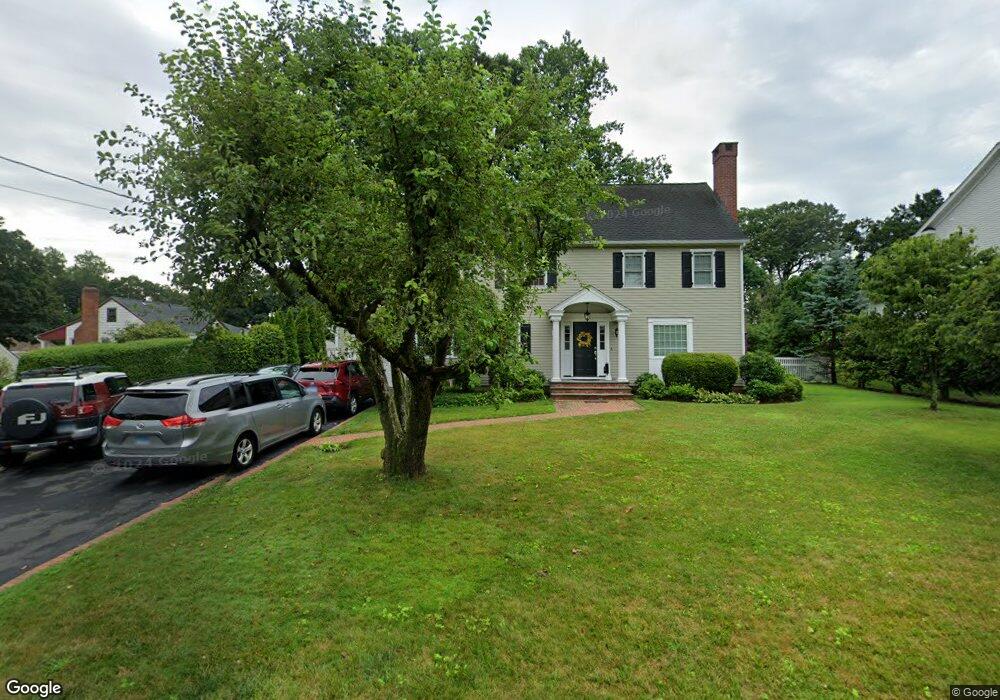
37 Dill Rd Fairfield, CT 06824
University NeighborhoodEstimated Value: $914,000 - $1,283,000
4
Beds
4
Baths
2,596
Sq Ft
$422/Sq Ft
Est. Value
About This Home
This home is located at 37 Dill Rd, Fairfield, CT 06824 and is currently estimated at $1,094,838, approximately $421 per square foot. 37 Dill Rd is a home located in Fairfield County with nearby schools including Osborn Hill Elementary School, Fairfield Woods Middle School, and Fairfield Ludlowe High School.
Ownership History
Date
Name
Owned For
Owner Type
Purchase Details
Closed on
Feb 2, 2006
Sold by
Genese Jonathan and Genese Kimberly
Bought by
Putnam Heidi and Slezak Andrei
Current Estimated Value
Purchase Details
Closed on
Apr 28, 2004
Sold by
Milender Cynthia L
Bought by
Genese Jon
Purchase Details
Closed on
Dec 13, 1996
Sold by
Colacurcio Edward P and Colacurcio Mamie M
Bought by
Milender Cynthia L
Create a Home Valuation Report for This Property
The Home Valuation Report is an in-depth analysis detailing your home's value as well as a comparison with similar homes in the area
Home Values in the Area
Average Home Value in this Area
Purchase History
| Date | Buyer | Sale Price | Title Company |
|---|---|---|---|
| Putnam Heidi | $670,000 | -- | |
| Putnam Heidi | $670,000 | -- | |
| Genese Jon | $522,500 | -- | |
| Genese Jon | $522,500 | -- | |
| Milender Cynthia L | $228,000 | -- | |
| Milender Cynthia L | $228,000 | -- |
Source: Public Records
Mortgage History
| Date | Status | Borrower | Loan Amount |
|---|---|---|---|
| Open | Milender Cynthia L | $370,000 | |
| Closed | Milender Cynthia L | $392,058 |
Source: Public Records
Tax History Compared to Growth
Tax History
| Year | Tax Paid | Tax Assessment Tax Assessment Total Assessment is a certain percentage of the fair market value that is determined by local assessors to be the total taxable value of land and additions on the property. | Land | Improvement |
|---|---|---|---|---|
| 2025 | $12,854 | $452,760 | $245,980 | $206,780 |
| 2024 | $12,632 | $452,760 | $245,980 | $206,780 |
| 2023 | $12,455 | $452,760 | $245,980 | $206,780 |
| 2022 | $12,333 | $452,760 | $245,980 | $206,780 |
| 2021 | $12,215 | $452,760 | $245,980 | $206,780 |
| 2020 | $11,906 | $444,430 | $202,020 | $242,410 |
| 2019 | $11,906 | $444,430 | $202,020 | $242,410 |
| 2018 | $11,715 | $444,430 | $202,020 | $242,410 |
| 2017 | $11,475 | $444,430 | $202,020 | $242,410 |
| 2016 | $11,311 | $444,430 | $202,020 | $242,410 |
| 2015 | $11,246 | $453,670 | $212,660 | $241,010 |
| 2014 | $11,070 | $453,670 | $212,660 | $241,010 |
Source: Public Records
Map
Nearby Homes
- 168 Wormwood Rd
- 15 Barton Rd
- 327 Meadowbrook Rd
- 38 Edge Hill Rd
- 378 High St
- 109 Jeniford Rd
- 20 Ermine St
- 293 Sigwin Dr
- 2180 Kings Hwy Unit 1
- 42 Robin Cir
- 245 Sunnyridge Ave Unit 33
- 105 Charter Oak Rd
- 240 Sunnyridge Ave Unit 116
- 240 Sunnyridge Ave Unit 63
- 359 Reid St
- 250 Szost Dr
- 3250 Fairfield Ave Unit 302
- 41 Pepperbush Ln
- 98 Cambridge St
- 1207 Stillson Rd