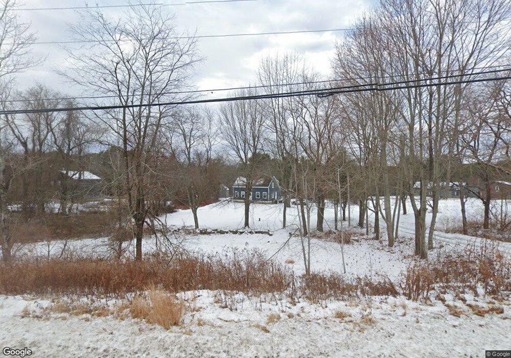
37 Durham Rd Freeport, ME 04032
Estimated Value: $547,666 - $598,000
2
Beds
2
Baths
1,469
Sq Ft
$388/Sq Ft
Est. Value
About This Home
This home is located at 37 Durham Rd, Freeport, ME 04032 and is currently estimated at $569,417, approximately $387 per square foot. 37 Durham Rd is a home with nearby schools including Morse Street School, Mast Landing School, and Freeport Middle School.
Create a Home Valuation Report for This Property
The Home Valuation Report is an in-depth analysis detailing your home's value as well as a comparison with similar homes in the area
Home Values in the Area
Average Home Value in this Area
Tax History
| Year | Tax Paid | Tax Assessment Tax Assessment Total Assessment is a certain percentage of the fair market value that is determined by local assessors to be the total taxable value of land and additions on the property. | Land | Improvement |
|---|---|---|---|---|
| 2025 | $5,233 | $377,800 | $141,900 | $235,900 |
| 2024 | $4,953 | $371,000 | $135,100 | $235,900 |
| 2023 | $4,509 | $327,900 | $122,800 | $205,100 |
| 2022 | $4,316 | $316,200 | $111,100 | $205,100 |
| 2021 | $4,221 | $316,200 | $111,100 | $205,100 |
| 2020 | $4,082 | $291,600 | $102,900 | $188,700 |
| 2019 | $3,901 | $272,800 | $97,100 | $175,700 |
| 2018 | $3,838 | $255,000 | $88,700 | $166,300 |
| 2017 | $3,669 | $245,400 | $86,700 | $158,700 |
| 2016 | $3,623 | $229,300 | $82,000 | $147,300 |
Source: Public Records
Map
Nearby Homes
- 42 Durham Rd
- 10 Durham Rd
- 212 Main St
- 8 Statler Ln
- 5 Holbrook St
- 11 Orchard Hill Rd
- 67 Farmview Ln
- 1 Wardtown Rd
- 39 Hunter Rd
- 1260 Us Route 1
- 15 Linwood Rd Unit 15
- 143 Bragdon Rd
- 10 Prout Rd
- 4 Harper's Trail
- 15 Tinkers Way
- 21 Renee Rd
- 26 Harvest Ridge Rd Unit 24
- 20 Harvest Ridge Rd Unit 23
- 0 Prout Rd
- 52 Birch Point Rd
Your Personal Tour Guide
Ask me questions while you tour the home.