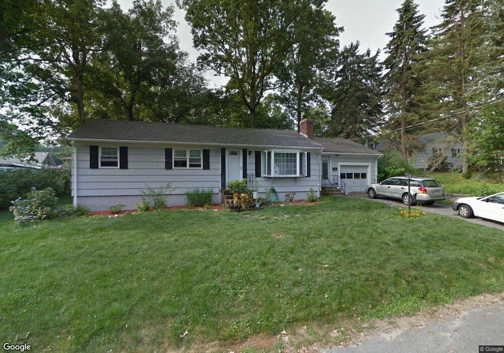
37 Elm St West Boylston, MA 01583
Estimated Value: $446,341 - $475,000
3
Beds
1
Bath
1,056
Sq Ft
$437/Sq Ft
Est. Value
About This Home
This home is located at 37 Elm St, West Boylston, MA 01583 and is currently estimated at $461,085, approximately $436 per square foot. 37 Elm St is a home located in Worcester County with nearby schools including Major Edwards Elementary School and West Boylston Junior/Senior High School.
Ownership History
Date
Name
Owned For
Owner Type
Purchase Details
Closed on
Jun 28, 2007
Sold by
Hohne Gordon F and Hohne Norma M
Bought by
Croft Jennifer M and Croft Mark
Current Estimated Value
Home Financials for this Owner
Home Financials are based on the most recent Mortgage that was taken out on this home.
Original Mortgage
$255,000
Outstanding Balance
$157,206
Interest Rate
6.24%
Mortgage Type
Purchase Money Mortgage
Estimated Equity
$303,879
Create a Home Valuation Report for This Property
The Home Valuation Report is an in-depth analysis detailing your home's value as well as a comparison with similar homes in the area
Home Values in the Area
Average Home Value in this Area
Purchase History
| Date | Buyer | Sale Price | Title Company |
|---|---|---|---|
| Croft Jennifer M | $255,000 | -- |
Source: Public Records
Mortgage History
| Date | Status | Borrower | Loan Amount |
|---|---|---|---|
| Open | Croft Jennifer M | $255,000 |
Source: Public Records
Tax History Compared to Growth
Tax History
| Year | Tax Paid | Tax Assessment Tax Assessment Total Assessment is a certain percentage of the fair market value that is determined by local assessors to be the total taxable value of land and additions on the property. | Land | Improvement |
|---|---|---|---|---|
| 2025 | $57 | $408,400 | $93,800 | $314,600 |
| 2024 | $5,523 | $373,700 | $93,800 | $279,900 |
| 2023 | $5,338 | $342,600 | $93,200 | $249,400 |
| 2022 | $5,041 | $285,100 | $93,200 | $191,900 |
| 2021 | $4,890 | $264,900 | $89,300 | $175,600 |
| 2020 | $6,814 | $258,200 | $89,300 | $168,900 |
| 2019 | $4,505 | $239,000 | $89,300 | $149,700 |
| 2018 | $8,098 | $230,000 | $89,300 | $140,700 |
| 2017 | $8,042 | $201,900 | $89,300 | $112,600 |
| 2016 | $3,710 | $201,100 | $83,100 | $118,000 |
| 2015 | $3,607 | $196,700 | $82,300 | $114,400 |
Source: Public Records
Map
Nearby Homes
- 23 Western Ave
- 136 Sterling St Unit A3
- 20 Winthrop St
- 16 N Main St
- 127 N Main St
- 18 Laurel Ave
- 15 Myrtle Ave
- 2 Lakeview Ave
- 0 Boutelle Rd
- 61 Boutelle Rd
- 223 Worcester Rd
- 287 Laurel St
- 43 Chace Hill Rd
- 15 N Cove Rd
- 54 Maple St
- 4 Jewett Rd Unit B
- 4 Jewett Rd Unit A
- 0 North St
- 39 Davidson Rd
- 1 Harmony Ln Unit 4