Estimated Value: $811,000 - $1,128,000
4
Beds
3
Baths
2,340
Sq Ft
$405/Sq Ft
Est. Value
About This Home
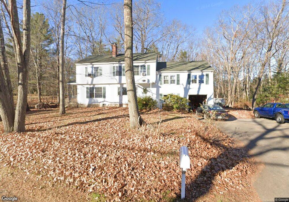
This home is located at 37 Elwyn Rd, Rye, NH 03870 and is currently estimated at $948,868, approximately $405 per square foot. 37 Elwyn Rd is a home located in Rockingham County with nearby schools including Rye Elementary School, Rye Junior High School, and St Patrick School.
Ownership History
Date
Name
Owned For
Owner Type
Purchase Details
Closed on
May 2, 2024
Sold by
Jackson Wesley L and Yeager Patricia A
Bought by
Jackson And Yeager Ret and Jackson
Current Estimated Value
Create a Home Valuation Report for This Property
The Home Valuation Report is an in-depth analysis detailing your home's value as well as a comparison with similar homes in the area
Home Values in the Area
Average Home Value in this Area
Purchase History
| Date | Buyer | Sale Price | Title Company |
|---|---|---|---|
| Jackson And Yeager Ret | -- | None Available | |
| Jackson And Yeager Ret | -- | None Available |
Source: Public Records
Tax History Compared to Growth
Tax History
| Year | Tax Paid | Tax Assessment Tax Assessment Total Assessment is a certain percentage of the fair market value that is determined by local assessors to be the total taxable value of land and additions on the property. | Land | Improvement |
|---|---|---|---|---|
| 2024 | $5,394 | $622,900 | $318,700 | $304,200 |
| 2023 | $5,002 | $622,900 | $318,700 | $304,200 |
| 2022 | $4,348 | $622,900 | $318,700 | $304,200 |
| 2021 | $4,241 | $415,000 | $210,300 | $204,700 |
| 2020 | $5,218 | $415,000 | $210,300 | $204,700 |
| 2019 | $13,978 | $415,000 | $210,300 | $204,700 |
| 2018 | $4,196 | $415,000 | $210,300 | $204,700 |
| 2017 | $4,196 | $415,000 | $210,300 | $204,700 |
| 2016 | $3,989 | $373,500 | $191,300 | $182,200 |
| 2013 | $4,081 | $372,000 | $191,300 | $180,700 |
Source: Public Records
Map
Nearby Homes
- 14 Sagamore Rd Unit 3
- 4 Sagamore Rd
- 253 Odiorne Point Rd
- 1155 Sagamore Ave Unit 2
- 1155 Sagamore Ave Unit 3
- 1155 Sagamore Ave Unit D
- 1155 Sagamore Ave Unit 1
- 891 Elwyn Rd
- 1 Sagamore Grove
- 112 Wentworth Rd
- 137 Walker Bungalow Rd
- 267 Pioneer Rd
- 137 Clark Rd
- 389 Sagamore Rd
- 149 Jones Ave
- 219 Sagamore Ave
- 480 Sagamore Rd
- 6 Rockaway St
- 45 F w Hartford Dr
- 221 Hillside Dr