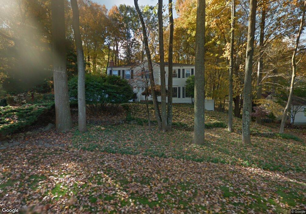
37 Forrest Rd Randolph, NJ 07869
Estimated Value: $838,057 - $968,000
Studio
--
Bath
2,720
Sq Ft
$332/Sq Ft
Est. Value
About This Home
This home is located at 37 Forrest Rd, Randolph, NJ 07869 and is currently estimated at $903,514, approximately $332 per square foot. 37 Forrest Rd is a home located in Morris County with nearby schools including Randolph High School and Randolph Middle School.
Ownership History
Date
Name
Owned For
Owner Type
Purchase Details
Closed on
Oct 8, 1999
Sold by
Twersky Leon J and Twersky Gale
Bought by
Bloom Michael I and Bloom Hope L
Current Estimated Value
Home Financials for this Owner
Home Financials are based on the most recent Mortgage that was taken out on this home.
Original Mortgage
$240,000
Outstanding Balance
$72,300
Interest Rate
7.8%
Estimated Equity
$831,214
Create a Home Valuation Report for This Property
The Home Valuation Report is an in-depth analysis detailing your home's value as well as a comparison with similar homes in the area
Home Values in the Area
Average Home Value in this Area
Purchase History
| Date | Buyer | Sale Price | Title Company |
|---|---|---|---|
| Bloom Michael I | $382,500 | -- |
Source: Public Records
Mortgage History
| Date | Status | Borrower | Loan Amount |
|---|---|---|---|
| Open | Bloom Michael I | $240,000 |
Source: Public Records
Tax History
| Year | Tax Paid | Tax Assessment Tax Assessment Total Assessment is a certain percentage of the fair market value that is determined by local assessors to be the total taxable value of land and additions on the property. | Land | Improvement |
|---|---|---|---|---|
| 2025 | $15,939 | $563,000 | $233,200 | $329,800 |
| 2024 | $15,539 | $563,000 | $233,200 | $329,800 |
Source: Public Records
Map
Nearby Homes
- 10 Lookout Rd
- 10 Bayberry Ln
- 10 Forrest Rd
- 29 Clover Ln
- 14 Fieldstone Ct
- 5 Elaine Ct
- 2 Chestnut Hill Rd
- 46 W Hanover Ave
- 4A Southview Rd
- 8 Cherry Ln
- 267 Washington Valley Rd
- 15 Southview Rd
- 17 Ripplewood Dr
- 1134 Sussex Turnpike
- 138 Shady Ln
- 24 Raynor Rd
- 46 Junard Dr
- 3 Starlight Dr
- 33 Shongum Rd
- 6 Woodlawn Terrace
- 39 Forrest Rd
- 46 Springhill Rd
- 48 Springhill Rd
- 33 Deer Run Dr
- 41 Forrest Rd
- 44 Forrest Rd
- 44 Springhill Rd
- 48 Forrest Rd
- 39 Springhill Rd
- 43 Forrest Rd
- 41 Springhill Rd
- 42 Forrest Rd
- 50 Forrest Rd
- 37 Springhill Rd
- 31 Deer Run Dr
- 33 Forrest Rd
- 42 Springhill Rd
- 52 Forrest Rd
- 35 Springhill Rd
- 45 Forrest Rd
Your Personal Tour Guide
Ask me questions while you tour the home.