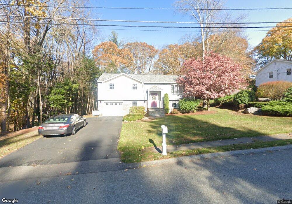
37 Freeport Dr Burlington, MA 01803
North Burlington NeighborhoodEstimated Value: $878,046 - $1,050,000
3
Beds
2
Baths
2,501
Sq Ft
$385/Sq Ft
Est. Value
About This Home
This home is located at 37 Freeport Dr, Burlington, MA 01803 and is currently estimated at $963,012, approximately $385 per square foot. 37 Freeport Dr is a home located in Middlesex County with nearby schools including Burlington High School, Fox Hill, and Marshall Simonds Middle School.
Ownership History
Date
Name
Owned For
Owner Type
Purchase Details
Closed on
Sep 23, 1974
Bought by
Harrison James and Harrison Elizabeth A
Current Estimated Value
Create a Home Valuation Report for This Property
The Home Valuation Report is an in-depth analysis detailing your home's value as well as a comparison with similar homes in the area
Home Values in the Area
Average Home Value in this Area
Purchase History
| Date | Buyer | Sale Price | Title Company |
|---|---|---|---|
| Harrison James | -- | -- |
Source: Public Records
Mortgage History
| Date | Status | Borrower | Loan Amount |
|---|---|---|---|
| Open | Harrison James | $50,000 | |
| Open | Harrison James | $150,500 | |
| Closed | Harrison James | $150,000 | |
| Closed | Harrison James | $80,000 |
Source: Public Records
Tax History
| Year | Tax Paid | Tax Assessment Tax Assessment Total Assessment is a certain percentage of the fair market value that is determined by local assessors to be the total taxable value of land and additions on the property. | Land | Improvement |
|---|---|---|---|---|
| 2025 | $6,733 | $777,500 | $460,100 | $317,400 |
| 2024 | $6,502 | $727,300 | $420,100 | $307,200 |
| 2023 | $6,259 | $665,800 | $364,100 | $301,700 |
| 2022 | $6,136 | $616,700 | $331,100 | $285,600 |
| 2021 | $5,977 | $600,700 | $315,100 | $285,600 |
| 2020 | $5,755 | $597,000 | $310,100 | $286,900 |
| 2019 | $5,829 | $556,200 | $290,100 | $266,100 |
| 2018 | $5,569 | $524,400 | $290,100 | $234,300 |
| 2017 | $5,497 | $524,400 | $290,100 | $234,300 |
| 2016 | $5,453 | $475,800 | $250,100 | $225,700 |
| 2015 | $5,400 | $475,800 | $250,100 | $225,700 |
| 2014 | $5,126 | $427,200 | $216,100 | $211,100 |
Source: Public Records
Map
Nearby Homes
- 155 Mill St
- 210 Winn St
- 5 Porter Ave
- 12 Murray Ave Unit 18
- 11 Town Line Rd
- 29 Beaverbrook Rd
- 4 Waite Ave
- 4 Colburn St
- 27 Purity Springs Rd
- 23 Wilmington Rd
- 2 Mooney Rd
- 345 Cambridge St
- 21 Meadowvale Rd
- 42 Lantern Ln
- 3 Arborwood Dr
- 6 Kendal Dr
- 23 County Rd
- 1011 Main St Unit 5
- 0 Johnson Rd
- 13 Wing Terrace
Your Personal Tour Guide
Ask me questions while you tour the home.