37 Hazy Rd Poplar Bluff, MO 63901
Estimated Value: $110,000 - $119,000
Studio
--
Bath
1,289
Sq Ft
$89/Sq Ft
Est. Value
About This Home
This home is located at 37 Hazy Rd, Poplar Bluff, MO 63901 and is currently estimated at $114,361, approximately $88 per square foot. 37 Hazy Rd is a home with nearby schools including Eugene Field Elementary School, Poplar Bluff Fifth & Sixth Grade Center, and Poplar Bluff Junior High School.
Ownership History
Date
Name
Owned For
Owner Type
Purchase Details
Closed on
Sep 16, 2020
Sold by
Lampe John Gerard and Lampe Ava Marie
Bought by
John And Ava Lampe Family Revocable Living Tr and Lampe
Current Estimated Value
Purchase Details
Closed on
Feb 16, 2016
Sold by
Wells Fargo Bank N A
Bought by
Lampe John and Lampe Ava
Purchase Details
Closed on
Jun 28, 2013
Sold by
Worley Joshua Lee and Worley Brandi
Bought by
Earnheart Terry L and Earnheart Stephanie
Home Financials for this Owner
Home Financials are based on the most recent Mortgage that was taken out on this home.
Original Mortgage
$64,158
Interest Rate
3.54%
Mortgage Type
New Conventional
Create a Home Valuation Report for This Property
The Home Valuation Report is an in-depth analysis detailing your home's value as well as a comparison with similar homes in the area
Purchase History
| Date | Buyer | Sale Price | Title Company |
|---|---|---|---|
| John And Ava Lampe Family Revocable Living Tr | -- | None Listed On Document | |
| Lampe John | -- | None Available | |
| Earnheart Terry L | -- | None Available |
Source: Public Records
Mortgage History
| Date | Status | Borrower | Loan Amount |
|---|---|---|---|
| Previous Owner | Earnheart Terry L | $64,158 |
Source: Public Records
Tax History
| Year | Tax Paid | Tax Assessment Tax Assessment Total Assessment is a certain percentage of the fair market value that is determined by local assessors to be the total taxable value of land and additions on the property. | Land | Improvement |
|---|---|---|---|---|
| 2025 | $394 | $9,060 | $0 | $0 |
| 2024 | $4 | $8,360 | $0 | $0 |
| 2023 | $377 | $8,360 | $0 | $0 |
| 2022 | $364 | $8,080 | $0 | $0 |
| 2021 | $364 | $8,080 | $0 | $0 |
| 2020 | $347 | $7,580 | $0 | $0 |
| 2019 | $347 | $7,580 | $0 | $0 |
| 2018 | $347 | $7,580 | $0 | $0 |
| 2017 | -- | $7,580 | $0 | $0 |
| 2016 | -- | $7,580 | $0 | $0 |
| 2015 | -- | $7,580 | $0 | $0 |
| 2014 | -- | $7,050 | $0 | $0 |
| 2012 | $251 | $7,050 | $0 | $0 |
Source: Public Records
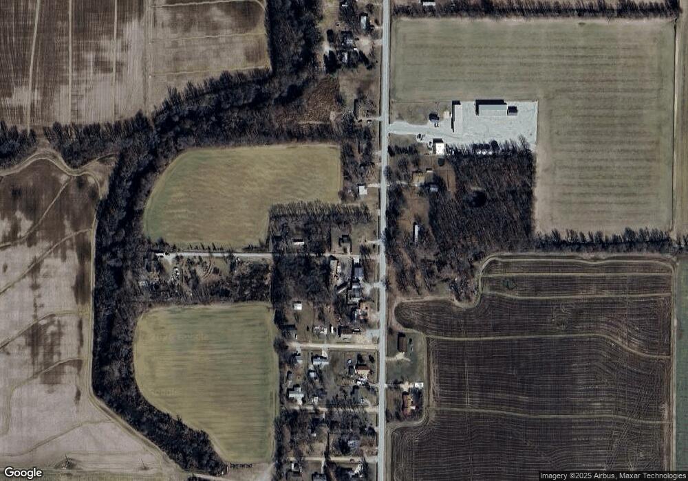
Map
Nearby Homes
- County Road 315
- 000 County Road 315
- 4196 Highway 142
- 888 Highway Uu
- 2563 Highway 53
- 2025 Wasson Dr
- 3619 Palmtree Dr
- 1936 Fernwood Rd
- 2801 Bedoll Ave
- 2057 Cravens Ln
- 2116 County Road 607
- 2335 Cheshire Blvd
- 1931 Brentwood Rd
- 2325 Mangold St
- 0 County Road 301
- 1769 County Road 608
- 912 Delano St
- 2202 Mangold St
- 693 County Road 605
- 0 County Road 605
- 37 Country Road 314 A
- 142 Missouri 142
- 0 Hawk Point Subdivision
- 2347 Highway 142
- 2323 Highway 142
- 2347 Highway 142
- 2388 Highway 142
- 62 Hazy Rd
- 2227 Missouri 142
- 2241 Highway 142
- 88 Half Moon Rd
- 59 Half Moon Rd
- 89 Half Moon Rd
- 62 Half Moon Rd
- 61 Hallmark Rd
- 142-N W Hwy of 2nd St
- 83 Hallmark Rd
- 26 Hallmark Rd
- 2412 Highway 142
- 142 S Hwy of 2nd St
Your Personal Tour Guide
Ask me questions while you tour the home.