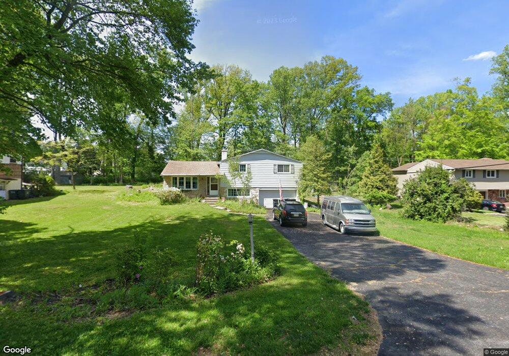
37 Heron Rd Southampton, PA 18966
Estimated Value: $624,000 - $722,000
3
Beds
1
Bath
2,300
Sq Ft
$293/Sq Ft
Est. Value
About This Home
This home is located at 37 Heron Rd, Southampton, PA 18966 and is currently estimated at $674,947, approximately $293 per square foot. 37 Heron Rd is a home located in Bucks County with nearby schools including Holland Elementary School, Holland Middle School, and Council Rock High School - South.
Ownership History
Date
Name
Owned For
Owner Type
Purchase Details
Closed on
May 28, 2024
Sold by
Rox Mutual Llc
Bought by
Irvine Brian and Irvine Rosa
Current Estimated Value
Home Financials for this Owner
Home Financials are based on the most recent Mortgage that was taken out on this home.
Original Mortgage
$540,000
Outstanding Balance
$533,304
Interest Rate
7.17%
Mortgage Type
New Conventional
Estimated Equity
$141,643
Purchase Details
Closed on
Jan 25, 2024
Sold by
Boyle Michael Alan
Bought by
Rox Mutual Llc
Home Financials for this Owner
Home Financials are based on the most recent Mortgage that was taken out on this home.
Original Mortgage
$287,000
Interest Rate
6.95%
Mortgage Type
New Conventional
Purchase Details
Closed on
Sep 21, 2015
Sold by
Boyle Michael Alan
Bought by
Boyle Michael Alan
Purchase Details
Closed on
Jun 28, 1957
Bought by
Boyle John J and Boyle Billie M
Create a Home Valuation Report for This Property
The Home Valuation Report is an in-depth analysis detailing your home's value as well as a comparison with similar homes in the area
Home Values in the Area
Average Home Value in this Area
Purchase History
| Date | Buyer | Sale Price | Title Company |
|---|---|---|---|
| Irvine Brian | $675,000 | Greater Penn Abstract | |
| Rox Mutual Llc | $410,000 | National Abstract Agency | |
| Boyle Michael Alan | -- | Attorney | |
| Boyle John J | -- | -- |
Source: Public Records
Mortgage History
| Date | Status | Borrower | Loan Amount |
|---|---|---|---|
| Open | Irvine Brian | $540,000 | |
| Previous Owner | Rox Mutual Llc | $287,000 |
Source: Public Records
Tax History Compared to Growth
Tax History
| Year | Tax Paid | Tax Assessment Tax Assessment Total Assessment is a certain percentage of the fair market value that is determined by local assessors to be the total taxable value of land and additions on the property. | Land | Improvement |
|---|---|---|---|---|
| 2025 | $6,472 | $33,600 | $6,120 | $27,480 |
| 2024 | $6,472 | $33,600 | $6,120 | $27,480 |
| 2023 | $6,099 | $33,600 | $6,120 | $27,480 |
| 2022 | $6,044 | $33,600 | $6,120 | $27,480 |
| 2021 | $5,852 | $33,600 | $6,120 | $27,480 |
| 2020 | $5,721 | $33,600 | $6,120 | $27,480 |
| 2019 | $5,476 | $33,600 | $6,120 | $27,480 |
| 2018 | $5,378 | $33,600 | $6,120 | $27,480 |
| 2017 | $5,171 | $33,600 | $6,120 | $27,480 |
| 2016 | $5,171 | $33,600 | $6,120 | $27,480 |
| 2015 | -- | $33,600 | $6,120 | $27,480 |
| 2014 | -- | $33,600 | $6,120 | $27,480 |
Source: Public Records
Map
Nearby Homes
- 131 Rocksville Rd
- 270 Rocksville Rd
- 258 Woodlake Dr
- 100 E Holland Rd
- 6 Rolling Hills Dr
- 41 Grant Dr
- 178 Buckshire Dr
- 537 Ashton Cir
- 527 Ashton Cir
- 29 Langhorne Ave
- 15 Penn Cir
- 518 Pebble Ridge Ct
- 1502 Chinquapin Rd
- 415 Fox Hollow Dr
- 24 Standing Tree Cir
- 1 Falcon Dr Unit 203
- 428 Fox Hollow Dr
- 2 Falcon Dr Unit 202
- 31 W Bellwood Dr
- 853 Green Ridge Cir