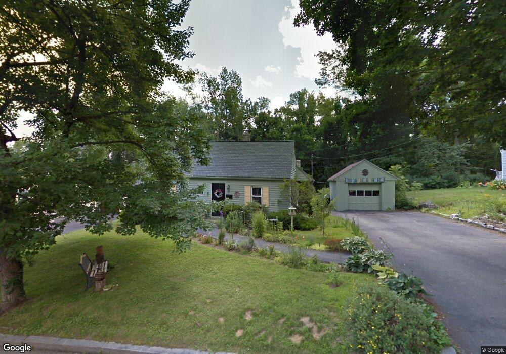
37 Lansing Ave Worcester, MA 01605
Forest Grove NeighborhoodEstimated Value: $427,635 - $479,000
4
Beds
2
Baths
1,360
Sq Ft
$335/Sq Ft
Est. Value
About This Home
This home is located at 37 Lansing Ave, Worcester, MA 01605 and is currently estimated at $456,159, approximately $335 per square foot. 37 Lansing Ave is a home located in Worcester County with nearby schools including Nelson Place Elementary School, Jacob Hiatt Magnet School, and Chandler Magnet.
Ownership History
Date
Name
Owned For
Owner Type
Purchase Details
Closed on
Sep 7, 2021
Sold by
Kracke-Lambert Audrey A
Bought by
Kracke-Lambert Audrey A and Lambert Ralph L
Current Estimated Value
Home Financials for this Owner
Home Financials are based on the most recent Mortgage that was taken out on this home.
Original Mortgage
$161,748
Interest Rate
3.92%
Mortgage Type
New Conventional
Purchase Details
Closed on
Oct 31, 1988
Sold by
Long Wm P
Bought by
Antaki K
Create a Home Valuation Report for This Property
The Home Valuation Report is an in-depth analysis detailing your home's value as well as a comparison with similar homes in the area
Home Values in the Area
Average Home Value in this Area
Purchase History
| Date | Buyer | Sale Price | Title Company |
|---|---|---|---|
| Kracke-Lambert Audrey A | -- | None Available | |
| Kracke-Lambert Audrey A | -- | None Available | |
| Antaki K | $119,900 | -- |
Source: Public Records
Mortgage History
| Date | Status | Borrower | Loan Amount |
|---|---|---|---|
| Previous Owner | Kracke-Lambert Audrey A | $161,748 | |
| Previous Owner | Antaki K | $155,677 | |
| Previous Owner | Antaki K | $108,794 | |
| Previous Owner | Antaki K | $110,685 |
Source: Public Records
Tax History
| Year | Tax Paid | Tax Assessment Tax Assessment Total Assessment is a certain percentage of the fair market value that is determined by local assessors to be the total taxable value of land and additions on the property. | Land | Improvement |
|---|---|---|---|---|
| 2025 | $4,561 | $345,800 | $118,800 | $227,000 |
| 2024 | $4,491 | $326,600 | $118,800 | $207,800 |
| 2023 | $4,299 | $299,800 | $103,300 | $196,500 |
| 2022 | $3,936 | $258,800 | $82,700 | $176,100 |
| 2021 | $3,757 | $230,800 | $66,200 | $164,600 |
| 2020 | $3,677 | $216,300 | $66,100 | $150,200 |
| 2019 | $3,510 | $195,000 | $59,600 | $135,400 |
| 2018 | $3,530 | $186,700 | $59,600 | $127,100 |
| 2017 | $3,388 | $176,300 | $59,600 | $116,700 |
| 2016 | $3,312 | $160,700 | $44,000 | $116,700 |
| 2015 | $3,225 | $160,700 | $44,000 | $116,700 |
| 2014 | $3,140 | $160,700 | $44,000 | $116,700 |
Source: Public Records
Map
Nearby Homes
- 97 Parkton Ave
- 25 Chester St
- 667 Grove St
- 82 Holden St
- 12 Tattan Farm Rd
- 11 Holden St
- 90 Bjorklund Ave
- 61 Barry Rd
- 23 Leslie Rd
- 158 Chester St
- 577 Grove St
- 46 Barry Rd
- 37 Mohave Rd
- 28 Lynnwood Ln
- 41 Mohave Rd
- 14 Balder Rd
- 3 Old English Rd
- 42 N Worcester Ave
- 4004 Brompton Cir
- 770 Salisbury St Unit 333
- 39 Lansing Ave
- 35 Lansing Ave
- 33 Lansing Ave
- 36 Lansing Ave
- 34 Lansing Ave
- 3 Winter Hill Dr
- 8 Winter Hill Dr
- 8 Winter Hill Dr Unit 1
- 32 Lansing Ave
- 31 Lansing Ave
- 6 Winter Hill Dr
- 71 Parkton Ave
- 67 Parkton Ave
- 30 Lansing Ave
- 1 Winter Hill Dr
- 63 Parkton Ave
- 63 Parkton Ave Unit 1
- 715 Grove St
- 57 Parkton Ave
- 711 Grove St
Your Personal Tour Guide
Ask me questions while you tour the home.