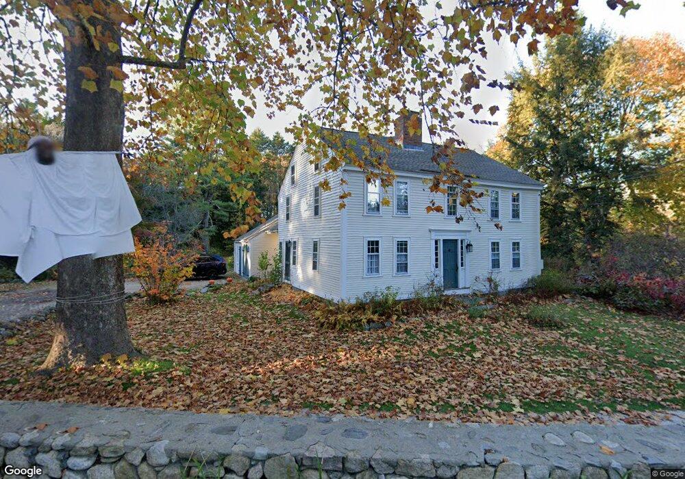
37 Lincoln Rd Lincoln, MA 01773
Estimated Value: $1,244,000 - $1,436,000
3
Beds
3
Baths
1,986
Sq Ft
$655/Sq Ft
Est. Value
About This Home
This home is located at 37 Lincoln Rd, Lincoln, MA 01773 and is currently estimated at $1,300,982, approximately $655 per square foot. 37 Lincoln Rd is a home located in Middlesex County with nearby schools including Lincoln-Sudbury Regional High School, Our Lady's Academy, and Tremont School.
Ownership History
Date
Name
Owned For
Owner Type
Purchase Details
Closed on
Feb 4, 2025
Sold by
Banerji Julian and Olson Laura
Bought by
37 Lincoln Rd Rt and Olson
Current Estimated Value
Purchase Details
Closed on
Aug 22, 2016
Sold by
Cortina Teresa and Cortina Theresa
Bought by
Cortina Rt
Purchase Details
Closed on
Jul 1, 1992
Sold by
Watkinson Peter J and Watkinson Fannie C
Bought by
Banerji Julian and Olson Laura
Purchase Details
Closed on
Dec 21, 1988
Sold by
Foster J Edward
Bought by
Watkinson Peter J
Create a Home Valuation Report for This Property
The Home Valuation Report is an in-depth analysis detailing your home's value as well as a comparison with similar homes in the area
Home Values in the Area
Average Home Value in this Area
Purchase History
| Date | Buyer | Sale Price | Title Company |
|---|---|---|---|
| 37 Lincoln Rd Rt | -- | None Available | |
| 37 Lincoln Rd Rt | -- | None Available | |
| Cortina Rt | -- | -- | |
| Cortina Rt | -- | -- | |
| Banerji Julian | $400,000 | -- | |
| Watkinson Peter J | $350,000 | -- |
Source: Public Records
Mortgage History
| Date | Status | Borrower | Loan Amount |
|---|---|---|---|
| Previous Owner | Watkinson Peter J | $254,000 | |
| Previous Owner | Watkinson Peter J | $250,000 |
Source: Public Records
Tax History Compared to Growth
Tax History
| Year | Tax Paid | Tax Assessment Tax Assessment Total Assessment is a certain percentage of the fair market value that is determined by local assessors to be the total taxable value of land and additions on the property. | Land | Improvement |
|---|---|---|---|---|
| 2025 | $15,626 | $1,219,800 | $848,900 | $370,900 |
| 2024 | $15,419 | $1,196,200 | $832,100 | $364,100 |
| 2023 | $13,657 | $981,100 | $675,100 | $306,000 |
| 2022 | $13,322 | $892,300 | $624,800 | $267,500 |
| 2021 | $13,242 | $853,200 | $583,900 | $269,300 |
| 2020 | $13,508 | $879,400 | $605,800 | $273,600 |
| 2019 | $11,940 | $851,000 | $589,700 | $261,300 |
| 2018 | $11,574 | $851,000 | $589,700 | $261,300 |
| 2017 | $12,730 | $929,200 | $583,900 | $345,300 |
| 2016 | $12,657 | $904,700 | $567,100 | $337,600 |
| 2015 | $11,940 | $843,800 | $524,800 | $319,000 |
| 2014 | $11,452 | $794,700 | $489,000 | $305,700 |
Source: Public Records
Map
Nearby Homes
- 22 Lincoln Rd
- 44 Baker Bridge Rd
- 19 Conant Rd
- 130 Tower Rd
- 12 Laurel Dr
- 9 Garland Rd
- 8 Stratford Way
- 33 Old Concord Rd
- 16 Old Cambridge Turnpike
- 22 Old Cambridge Turnpike
- 152 S Great Rd
- 88 Winter St
- 3 Clifford Ln
- 69 Page Rd
- 84 Davison Dr
- 6 Clifford Ln
- 244 Lincoln Rd
- 10 Reiling Pond Rd
- 426 Conant Rd
- 416 Conant Rd