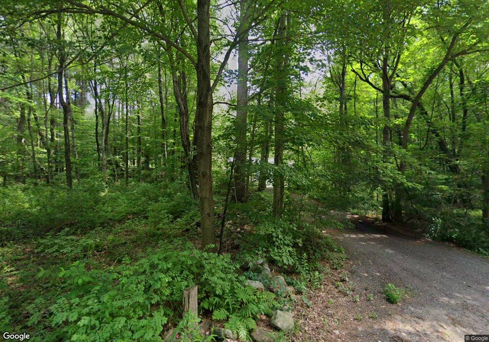
37 Nourse Rd Bolton, MA 01740
Estimated Value: $472,709 - $593,000
2
Beds
1
Bath
1,285
Sq Ft
$411/Sq Ft
Est. Value
About This Home
This home is located at 37 Nourse Rd, Bolton, MA 01740 and is currently estimated at $528,177, approximately $411 per square foot. 37 Nourse Rd is a home located in Worcester County with nearby schools including Florence Sawyer School, Nashoba Regional High School, and South Lancaster Academy.
Create a Home Valuation Report for This Property
The Home Valuation Report is an in-depth analysis detailing your home's value as well as a comparison with similar homes in the area
Home Values in the Area
Average Home Value in this Area
Tax History
| Year | Tax Paid | Tax Assessment Tax Assessment Total Assessment is a certain percentage of the fair market value that is determined by local assessors to be the total taxable value of land and additions on the property. | Land | Improvement |
|---|---|---|---|---|
| 2025 | $6,960 | $418,800 | $221,300 | $197,500 |
| 2024 | $6,444 | $396,300 | $211,300 | $185,000 |
| 2023 | $6,500 | $371,400 | $206,400 | $165,000 |
| 2022 | $6,577 | $331,000 | $186,400 | $144,600 |
| 2021 | $6,521 | $312,600 | $186,400 | $126,200 |
| 2020 | $6,292 | $308,600 | $186,400 | $122,200 |
| 2019 | $6,166 | $301,200 | $186,400 | $114,800 |
| 2018 | $5,613 | $271,700 | $166,300 | $105,400 |
| 2017 | $5,692 | $268,500 | $161,300 | $107,200 |
| 2016 | $5,361 | $256,400 | $151,300 | $105,100 |
| 2015 | $5,052 | $240,800 | $141,300 | $99,500 |
| 2014 | $5,080 | $239,600 | $156,300 | $83,300 |
Source: Public Records
Map
Nearby Homes
- 11 Pondside Ln Unit 11
- 144 Nourse Rd
- 12 Sanders Ln
- 15 Mallard Ln Unit 7
- 1A Sanders Ln
- 0 Wattaquadock Hill Rd
- 90 Harvard Rd
- 54 Main St
- 93 Vaughn Hill Rd
- 40 Forbush Mill Rd
- 385 Green Rd
- 347 Green Rd
- 47 Sugar Rd
- 114 Oak Trail
- 236 Bolton Rd
- 295 Vaughn Hill Rd
- 90 Corn Rd
- 98 Meadow Rd
- 21 Woodside Rd
- 610 Ridgefield Cir Unit B
- 47 Nourse Rd
- 46 Nourse Rd
- 30 a&B Nourse
- 21 Nourse Rd
- 30 Nourse Rd
- 30 Nourse Rd Unit A & B
- 30 Nourse Rd Unit A
- 30 Nourse Rd Unit 30-A
- 30 Nourse Rd Unit 1
- 30 - A&B Nourse
- 54 Nourse Rd
- 16 Nourse Rd
- 51 Nourse Rd
- 49 Nourse Rd
- 23 Pondside Dr
- 21 Pondside Dr
- 19 Pondside Dr
- 17 Pondside Dr
- 19 Pondside Dr Unit 2
- 23 Pondside Dr Unit 4
Your Personal Tour Guide
Ask me questions while you tour the home.
