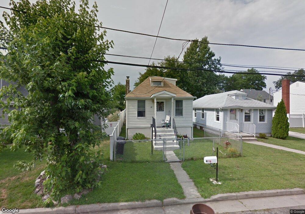
37 Raynor Ave North Middletown, NJ 07748
Estimated Value: $252,000 - $384,000
2
Beds
1
Bath
684
Sq Ft
$447/Sq Ft
Est. Value
About This Home
This home is located at 37 Raynor Ave, North Middletown, NJ 07748 and is currently estimated at $305,840, approximately $447 per square foot. 37 Raynor Ave is a home located in Monmouth County with nearby schools including Ocean Avenue Elementary School, Thorne Middle School, and Middletown High School North.
Ownership History
Date
Name
Owned For
Owner Type
Purchase Details
Closed on
Oct 3, 2020
Sold by
Rubinson Nancy S
Bought by
Rubinson Scott M and Rubinson Eric J
Current Estimated Value
Purchase Details
Closed on
Jan 16, 2013
Sold by
Sonnick Irene M and Tam Irene
Bought by
Tam Hasan and Tam Irene
Home Financials for this Owner
Home Financials are based on the most recent Mortgage that was taken out on this home.
Original Mortgage
$75,000
Outstanding Balance
$52,099
Interest Rate
3.35%
Mortgage Type
New Conventional
Estimated Equity
$253,741
Create a Home Valuation Report for This Property
The Home Valuation Report is an in-depth analysis detailing your home's value as well as a comparison with similar homes in the area
Home Values in the Area
Average Home Value in this Area
Purchase History
| Date | Buyer | Sale Price | Title Company |
|---|---|---|---|
| Rubinson Scott M | -- | First American Title Ins Co | |
| Tam Hasan | -- | None Available |
Source: Public Records
Mortgage History
| Date | Status | Borrower | Loan Amount |
|---|---|---|---|
| Open | Tam Hasan | $75,000 |
Source: Public Records
Tax History Compared to Growth
Tax History
| Year | Tax Paid | Tax Assessment Tax Assessment Total Assessment is a certain percentage of the fair market value that is determined by local assessors to be the total taxable value of land and additions on the property. | Land | Improvement |
|---|---|---|---|---|
| 2025 | $3,992 | $313,100 | $247,500 | $65,600 |
| 2024 | $3,813 | $242,700 | $178,300 | $64,400 |
| 2023 | $3,813 | $219,400 | $156,500 | $62,900 |
| 2022 | $3,033 | $212,500 | $150,000 | $62,500 |
| 2021 | $3,033 | $145,800 | $96,300 | $49,500 |
| 2020 | $2,662 | $124,500 | $76,100 | $48,400 |
| 2019 | $2,623 | $124,200 | $76,100 | $48,100 |
| 2018 | $2,674 | $123,400 | $77,500 | $45,900 |
| 2017 | $2,671 | $122,000 | $77,500 | $44,500 |
| 2016 | $2,610 | $122,500 | $62,500 | $60,000 |
| 2015 | $2,704 | $122,500 | $62,500 | $60,000 |
| 2014 | $3,220 | $142,300 | $87,500 | $54,800 |
Source: Public Records
Map
Nearby Homes
- 280 Linden Ave
- 0 Clinton St Unit 22238196
- 0 Bray Ave Unit 22420777
- 136 Sycamore Ave
- 0 S End Ave Unit 22420779
- 29 Carter Ave
- 32 Dakota Ave
- 210 Ocean Ave
- 443 Port Monmouth Rd E
- 93 Monmouth Ave
- 91 Monmouth Ave
- 723 Monmouth Pkwy
- 90 Monmouth Ave
- 71 Bay Ave
- 0 Delaware Ave Unit 22526302
- 0 Oregon Ave
- 118 Jersey Ave
- 17 Cedar Ave
- 37 Ohio Ave
- 289 Port Monmouth Rd
- 33 Raynor Ave
- 39 Raynor Ave
- 45 Raynor Ave
- 430 Prospect Ave
- 36 Clinton St
- 34 Clinton St
- 432 Prospect Ave
- 426 Prospect Ave
- 7111 Prospect Ave
- 1021 Prospect Ave
- 7107 Prospect Ave
- 1032 Prospect Ave
- 32 Clinton St
- 434 Prospect Ave
- 44 Clinton St
- 34 Raynor Ave
- 32 Raynor Ave
- 0 Raynor Ave Unit 22113695
- 0 Raynor Ave
- 436 Prospect Ave