37 Riverbank Rd Weston, CT 06883
Estimated Value: $5,727,000 - $7,390,000
5
Beds
11
Baths
10,816
Sq Ft
$620/Sq Ft
Est. Value
About This Home
This home is located at 37 Riverbank Rd, Weston, CT 06883 and is currently estimated at $6,707,114, approximately $620 per square foot. 37 Riverbank Rd is a home located in Fairfield County with nearby schools including Hurlbutt Elementary School, Weston Intermediate School, and Weston Middle School.
Ownership History
Date
Name
Owned For
Owner Type
Purchase Details
Closed on
Oct 14, 2020
Sold by
Hornung James S
Bought by
Klinka Elisia M and Brant Gerald
Current Estimated Value
Home Financials for this Owner
Home Financials are based on the most recent Mortgage that was taken out on this home.
Original Mortgage
$4,297,022
Outstanding Balance
$3,821,972
Interest Rate
2.9%
Mortgage Type
Purchase Money Mortgage
Estimated Equity
$2,885,142
Create a Home Valuation Report for This Property
The Home Valuation Report is an in-depth analysis detailing your home's value as well as a comparison with similar homes in the area
Home Values in the Area
Average Home Value in this Area
Purchase History
| Date | Buyer | Sale Price | Title Company |
|---|---|---|---|
| Klinka Elisia M | $4,775,000 | None Available |
Source: Public Records
Mortgage History
| Date | Status | Borrower | Loan Amount |
|---|---|---|---|
| Open | Klinka Elisia M | $4,297,022 |
Source: Public Records
Tax History Compared to Growth
Tax History
| Year | Tax Paid | Tax Assessment Tax Assessment Total Assessment is a certain percentage of the fair market value that is determined by local assessors to be the total taxable value of land and additions on the property. | Land | Improvement |
|---|---|---|---|---|
| 2025 | $97,897 | $4,096,120 | $653,030 | $3,443,090 |
| 2024 | $96,136 | $4,096,120 | $653,030 | $3,443,090 |
| 2023 | $113,104 | $3,421,160 | $653,050 | $2,768,110 |
| 2022 | $112,796 | $3,421,160 | $653,050 | $2,768,110 |
| 2021 | $112,625 | $3,421,160 | $653,050 | $2,768,110 |
| 2020 | $110,743 | $3,421,160 | $653,050 | $2,768,110 |
| 2019 | $39,978 | $3,421,160 | $653,050 | $2,768,110 |
| 2018 | $100,558 | $3,421,500 | $557,700 | $2,863,800 |
| 2017 | $98,916 | $3,421,500 | $557,700 | $2,863,800 |
| 2016 | $97,718 | $3,421,500 | $557,700 | $2,863,800 |
| 2015 | $98,402 | $3,421,500 | $557,700 | $2,863,800 |
| 2014 | $94,703 | $3,353,500 | $557,700 | $2,795,800 |
Source: Public Records
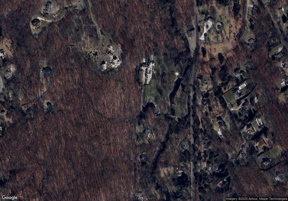
Map
Nearby Homes
- 24 Nordholm Dr
- 145 Lyons Plain Rd
- 260 Lyons Plain Rd
- 262 Lyons Plain Rd
- 225 Good Hill Rd
- 214 Good Hill Rd
- 136 Lyons Plain Rd
- 18 Cardinal Rd
- 0 Old Easton Turnpike
- 102 11 O Clock Rd
- 18 Hunt Ln
- 4 Colony Rd
- 85-95 Old Easton Turnpike
- 29 Salem Rd
- 31 White Birch Rd
- 1375 Westport Turnpike
- 80 Gilbert Hwy
- 111 & 115 Old Easton Turnpike
- 1 Greenlea Ln
- 191 Steep Hill Rd
- 8 Riverbank Rd
- 17 Riverbank Rd
- 204 Lyons Plain Rd
- 210 Lyons Plain Rd
- 9 Riverbank Rd
- 200 Lyons Plain Rd
- 31 Riverbank Rd
- 216 Lyons Plain Rd
- 11 Cartbridge Rd
- 201 Lyons Plain Rd
- 192 Lyons Plain Rd
- 198 Lyons Plain Rd
- 207 Lyons Plain Rd
- 197 Lyons Plain Rd
- 193 Lyons Plain Rd
- 2 Fanton Hill Rd
- 5 Smith Farm Rd
- 215 Lyons Plain Rd
- 9 Cartbridge Rd
- 1 Cartbridge Rd