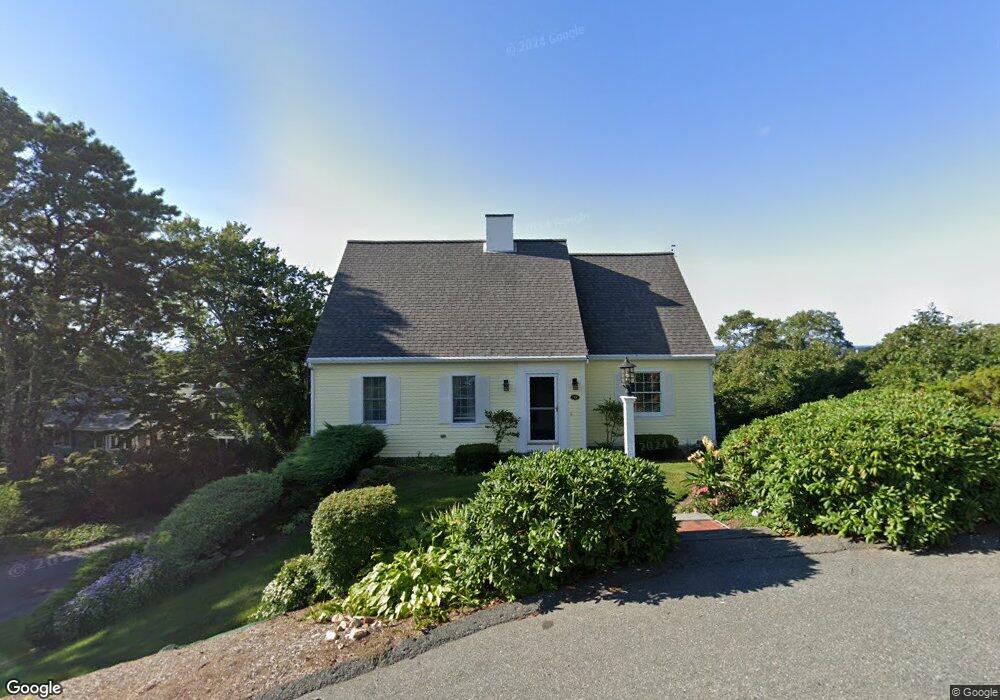
37 Scargo Heights Rd Dennis, MA 02638
Dennis Village NeighborhoodEstimated Value: $1,734,000 - $2,124,000
4
Beds
4
Baths
3,201
Sq Ft
$583/Sq Ft
Est. Value
About This Home
This home is located at 37 Scargo Heights Rd, Dennis, MA 02638 and is currently estimated at $1,865,905, approximately $582 per square foot. 37 Scargo Heights Rd is a home located in Barnstable County with nearby schools including Dennis-Yarmouth Regional High School.
Ownership History
Date
Name
Owned For
Owner Type
Purchase Details
Closed on
Mar 29, 2016
Sold by
Friend 3Rd Walter W and Friend Patricia D
Bought by
Patricia D Friend Lt
Current Estimated Value
Purchase Details
Closed on
Oct 9, 2001
Sold by
Flinkstrom Charles N and Flinkstrom Nancy E
Bought by
Friend Walter W and Friend Patricia D
Create a Home Valuation Report for This Property
The Home Valuation Report is an in-depth analysis detailing your home's value as well as a comparison with similar homes in the area
Home Values in the Area
Average Home Value in this Area
Purchase History
| Date | Buyer | Sale Price | Title Company |
|---|---|---|---|
| Patricia D Friend Lt | -- | -- | |
| Friend Walter W | $675,000 | -- |
Source: Public Records
Mortgage History
| Date | Status | Borrower | Loan Amount |
|---|---|---|---|
| Previous Owner | Friend Walter W | $50,000 | |
| Previous Owner | Friend Walter W | $235,000 |
Source: Public Records
Tax History Compared to Growth
Tax History
| Year | Tax Paid | Tax Assessment Tax Assessment Total Assessment is a certain percentage of the fair market value that is determined by local assessors to be the total taxable value of land and additions on the property. | Land | Improvement |
|---|---|---|---|---|
| 2025 | $6,817 | $1,574,300 | $538,600 | $1,035,700 |
| 2024 | $6,707 | $1,527,800 | $517,900 | $1,009,900 |
| 2023 | $6,443 | $1,379,600 | $449,900 | $929,700 |
| 2022 | $6,115 | $1,091,900 | $405,300 | $686,600 |
| 2021 | $6,022 | $998,600 | $397,300 | $601,300 |
| 2020 | $6,231 | $1,021,400 | $369,600 | $651,800 |
| 2019 | $6,079 | $985,300 | $389,600 | $595,700 |
| 2018 | $5,999 | $946,200 | $370,800 | $575,400 |
| 2017 | $5,519 | $897,400 | $370,800 | $526,600 |
| 2016 | $5,409 | $828,400 | $383,800 | $444,600 |
| 2015 | $5,302 | $828,400 | $383,800 | $444,600 |
| 2014 | $5,172 | $814,500 | $383,800 | $430,700 |
Source: Public Records
Map
Nearby Homes
- 4 Maureens Way
- 831 Main St
- 35 Crown Grant Dr
- 19 Deacon Joseph Ln
- 645 Main St Back Lot
- 59 Hope Ln
- 15 Signal Hill Dr
- 6 Thomas Ct
- 19 Whig St
- 1376 Bridge St Unit 16
- 32 Captain Walsh Dr
- 73 Pilgrim Rd
- 13 Hayfield Rd
- 13 Hayfield Rd
- 7 Dolphin Way
- 268 Main St
- 37 Johnson Ln
- 15 Trudy Cir
- 59 Main St Unit 19-2
- 59 Route 6a Unit 29-4
- 33 Scargo Heights Rd
- 34 Scargo Heights Rd
- 39 Scargo Heights Rd
- 27 Scargo Heights Rd
- 41 Scargo Heights Rd
- 28 Scargo Heights Rd
- 38 Scargo Hill Rd
- 23 Scargo Heights Rd
- 24 Scargo Heights Rd
- 138 Scargo Hill Rd
- 134 Scargo Hill Rd
- 21 Scargo Heights Rd
- 19 Maureens Way
- 17 Scargo Heights Rd
- 10 Gretchens Way
- 16 Maureens Way
- 152 Scargo Hill Rd
- 11 Gretchens Way
- 8 Scargo Heights Rd
- 15 Maureens Way