37 Surrey Rd Florissant, CO 80816
Estimated Value: $514,000 - $522,000
3
Beds
1
Bath
1,085
Sq Ft
$477/Sq Ft
Est. Value
About This Home
This home is located at 37 Surrey Rd, Florissant, CO 80816 and is currently estimated at $517,612, approximately $477 per square foot. 37 Surrey Rd is a home located in Teller County with nearby schools including Cresson Elementary School and Cripple Creek-Victor Junior/Senior High School.
Ownership History
Date
Name
Owned For
Owner Type
Purchase Details
Closed on
Aug 30, 2019
Sold by
Loesing James S
Bought by
Britten Michael W and Britten Therese L
Current Estimated Value
Home Financials for this Owner
Home Financials are based on the most recent Mortgage that was taken out on this home.
Original Mortgage
$280,000
Outstanding Balance
$246,255
Interest Rate
3.8%
Mortgage Type
New Conventional
Estimated Equity
$271,357
Purchase Details
Closed on
May 9, 1995
Bought by
Loesing James S
Create a Home Valuation Report for This Property
The Home Valuation Report is an in-depth analysis detailing your home's value as well as a comparison with similar homes in the area
Home Values in the Area
Average Home Value in this Area
Purchase History
| Date | Buyer | Sale Price | Title Company |
|---|---|---|---|
| Britten Michael W | $350,000 | Fidelity National Title | |
| Loesing James S | $11,500 | -- |
Source: Public Records
Mortgage History
| Date | Status | Borrower | Loan Amount |
|---|---|---|---|
| Open | Britten Michael W | $280,000 |
Source: Public Records
Tax History Compared to Growth
Tax History
| Year | Tax Paid | Tax Assessment Tax Assessment Total Assessment is a certain percentage of the fair market value that is determined by local assessors to be the total taxable value of land and additions on the property. | Land | Improvement |
|---|---|---|---|---|
| 2024 | $1,244 | $29,380 | $2,660 | $26,720 |
| 2023 | $1,244 | $29,380 | $2,660 | $26,720 |
| 2022 | $1,114 | $25,590 | $1,700 | $23,890 |
| 2021 | $1,152 | $26,330 | $1,750 | $24,580 |
| 2020 | $821 | $21,300 | $1,830 | $19,470 |
| 2019 | $816 | $21,300 | $0 | $0 |
| 2018 | $645 | $15,600 | $0 | $0 |
| 2017 | $643 | $15,600 | $0 | $0 |
| 2016 | $838 | $19,880 | $0 | $0 |
| 2015 | $856 | $19,880 | $0 | $0 |
| 2014 | $685 | $16,220 | $0 | $0 |
Source: Public Records
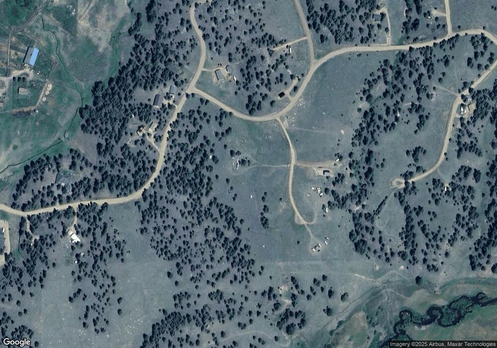
Map
Nearby Homes
- 37 Surrey Ln
- 121 Cheyenne Way
- 295 Surrey Ln
- 247 Deerfield Cir
- 205 Deerfield Cir
- 277 Deerfield Cir
- 280 Highland Meadows Dr
- 186 Alpine Dr
- 286 Alpine Dr
- 1058 Hackamore Dr
- 682 Highland Meadows Dr
- 826 Lost Canyon Heights
- 431 High Chateau Rd
- 490 Elkhorn Rd
- 115 White Tail Ln
- 76 Crocus Cir
- 56 Fir Ln
- 5315 County Road 1
- 0 Tbd County Road 12
- 105 Surrey Rd
- 37 Surrey Ln
- 79 Surrey Rd
- 172 Navajo Trail
- 137 Surrey Rd
- 412 Ranch Resorts Dr
- 262 Navajo Trail
- 508 Ranch Resorts Dr
- 385 Ranch Resorts Dr
- 320 Navajo Trail
- 331 Ranch Resorts Dr
- 289 Navajo Dr
- 60 Branding Iron Cir
- 180 Timber Croft Trail
- 0 Timber Croft Trail
- 51 Cheyenne Way
- 120 Timber Croft
- 400 Cherokee Place
- 529 Ranch Resorts Dr
- 104 Ranch Resorts Dr