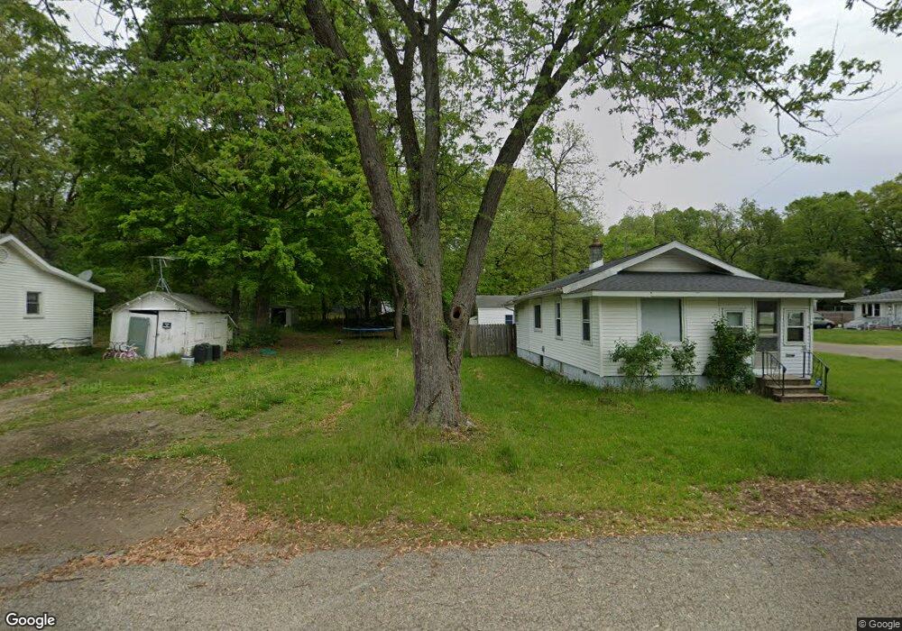
37 Troy St Battle Creek, MI 49037
Urbandale NeighborhoodEstimated Value: $98,000 - $144,000
--
Bed
--
Bath
--
Sq Ft
5,097
Sq Ft Lot
About This Home
This home is located at 37 Troy St, Battle Creek, MI 49037 and is currently estimated at $120,333. 37 Troy St is a home located in Calhoun County with nearby schools including Northwestern Middle School, Battle Creek Central High School, and Battle Creek Montessori Academy.
Ownership History
Date
Name
Owned For
Owner Type
Purchase Details
Closed on
Aug 13, 2025
Sold by
Hallock James L
Bought by
Pion Daniel Ray
Current Estimated Value
Purchase Details
Closed on
Apr 18, 2014
Sold by
Calhoun County Land Bank Authority
Bought by
Hallock James and Hallock Elizabeth
Purchase Details
Closed on
Dec 16, 2010
Sold by
Rosenbaum Ann
Bought by
The Calhoun County Land Bank Authority
Purchase Details
Closed on
Jul 16, 2001
Sold by
Maitland Robin J
Purchase Details
Closed on
Feb 12, 1998
Bought by
Maitland
Create a Home Valuation Report for This Property
The Home Valuation Report is an in-depth analysis detailing your home's value as well as a comparison with similar homes in the area
Home Values in the Area
Average Home Value in this Area
Purchase History
| Date | Buyer | Sale Price | Title Company |
|---|---|---|---|
| Pion Daniel Ray | $20,000 | Irongate Title Agency Llc | |
| Pion Daniel Ray | $20,000 | Irongate Title Agency Llc | |
| Hallock James | $200 | None Available | |
| The Calhoun County Land Bank Authority | -- | None Available | |
| -- | -- | -- | |
| Maitland | -- | -- |
Source: Public Records
Tax History Compared to Growth
Tax History
| Year | Tax Paid | Tax Assessment Tax Assessment Total Assessment is a certain percentage of the fair market value that is determined by local assessors to be the total taxable value of land and additions on the property. | Land | Improvement |
|---|---|---|---|---|
| 2025 | -- | $2,800 | $0 | $0 |
| 2024 | $30 | $1,999 | $0 | $0 |
| 2023 | $35 | $1,300 | $0 | $0 |
| 2022 | $27 | $1,000 | $0 | $0 |
| 2021 | $33 | $700 | $0 | $0 |
| 2020 | $33 | $700 | $0 | $0 |
| 2019 | $35 | $700 | $0 | $0 |
| 2018 | $35 | $700 | $700 | $0 |
| 2017 | $46 | $1,000 | $0 | $0 |
| 2016 | $46 | $1,000 | $0 | $0 |
| 2015 | -- | $1,000 | $0 | $0 |
| 2014 | -- | $1,965 | $1,965 | $0 |
Source: Public Records
Map
Nearby Homes
- 137 Dunning Ave
- 134 Willard Ave E
- 51 Dunning Ave
- 42 Althea Ave
- 0 Bynum Drive Lots 29 & 30 Dr Unit 25025910
- 33 Shellenberger Ave
- 124 Parkridge Dr
- 1 Brizse Ave
- 1528 Michigan Ave W
- 40 Kellogg St
- 1111 Michigan Ave W
- 81 Taylor Ave
- 35 Avery Ave
- 387 Waubascon Rd
- 163 Spaulding Ave W
- 116 Geneva Ave
- 155 Lakeway Dr
- 283 Timber Ln
- 134 Creekview Dr
- 129 Fox Ave