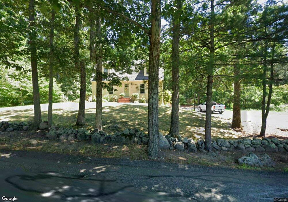
37 Walker St Norton, MA 02766
Estimated Value: $636,863 - $783,000
3
Beds
2
Baths
1,872
Sq Ft
$387/Sq Ft
Est. Value
About This Home
This home is located at 37 Walker St, Norton, MA 02766 and is currently estimated at $724,966, approximately $387 per square foot. 37 Walker St is a home located in Bristol County with nearby schools including J.C. Solmonese Elementary School, Henri A. Yelle Elementary School, and Norton Middle School.
Ownership History
Date
Name
Owned For
Owner Type
Purchase Details
Closed on
Feb 6, 2003
Sold by
Karcis E P Michael and Karcis Edward Pm
Bought by
Karcis Jeanne C
Current Estimated Value
Purchase Details
Closed on
Dec 10, 2001
Sold by
Mckenney Michael V and Mckenney Alison L
Bought by
Karcis Edward Paul M and Karcis Jeanne C
Home Financials for this Owner
Home Financials are based on the most recent Mortgage that was taken out on this home.
Original Mortgage
$200,000
Interest Rate
6.67%
Mortgage Type
Purchase Money Mortgage
Purchase Details
Closed on
May 22, 1997
Sold by
Vacheron Peter D and Vacheron Kimberly A
Bought by
Mckenney Michael V and Mckenney Alison L
Create a Home Valuation Report for This Property
The Home Valuation Report is an in-depth analysis detailing your home's value as well as a comparison with similar homes in the area
Home Values in the Area
Average Home Value in this Area
Purchase History
| Date | Buyer | Sale Price | Title Company |
|---|---|---|---|
| Karcis Jeanne C | -- | -- | |
| Karcis Edward Paul M | $300,000 | -- | |
| Mckenney Michael V | $170,000 | -- |
Source: Public Records
Mortgage History
| Date | Status | Borrower | Loan Amount |
|---|---|---|---|
| Open | Mckenney Michael V | $176,694 | |
| Previous Owner | Mckenney Michael V | $200,000 | |
| Previous Owner | Mckenney Michael V | $20,000 |
Source: Public Records
Tax History
| Year | Tax Paid | Tax Assessment Tax Assessment Total Assessment is a certain percentage of the fair market value that is determined by local assessors to be the total taxable value of land and additions on the property. | Land | Improvement |
|---|---|---|---|---|
| 2025 | $67 | $513,600 | $187,500 | $326,100 |
| 2024 | $6,391 | $493,500 | $178,600 | $314,900 |
| 2023 | $6,049 | $465,700 | $168,400 | $297,300 |
| 2022 | $5,847 | $410,000 | $153,100 | $256,900 |
| 2021 | $5,594 | $374,700 | $145,800 | $228,900 |
| 2020 | $5,387 | $364,000 | $141,600 | $222,400 |
| 2019 | $5,218 | $350,200 | $136,200 | $214,000 |
| 2018 | $5,148 | $339,600 | $136,200 | $203,400 |
| 2017 | $4,883 | $317,700 | $136,200 | $181,500 |
| 2016 | $4,706 | $301,500 | $136,200 | $165,300 |
| 2015 | $4,539 | $294,900 | $133,500 | $161,400 |
| 2014 | $4,350 | $283,000 | $127,100 | $155,900 |
Source: Public Records
Map
Nearby Homes
- 143 Oak St Unit 10
- 4 Village Way Unit F
- 20 John F. Kennedy Dr
- 10 Walter St
- 71 Richardson Ave
- 65 Godfrey Dr Unit 65
- 451R Gilbert St
- 343 Godfrey Dr
- 2 Oak St Unit 2A
- 2 Oak St Unit 2B
- 345 Richardson Ave
- 2 Edgewater Dr Unit 2
- 95 Godfrey Dr
- 933 Pleasant St
- 123 Pike Ave
- 180 Pike Ave
- 5 Robin Cir Unit 5
- 157 Mansfield Ave Unit 14
- 108 S Worcester St
- 250 Mansfield Ave Unit 11
Your Personal Tour Guide
Ask me questions while you tour the home.