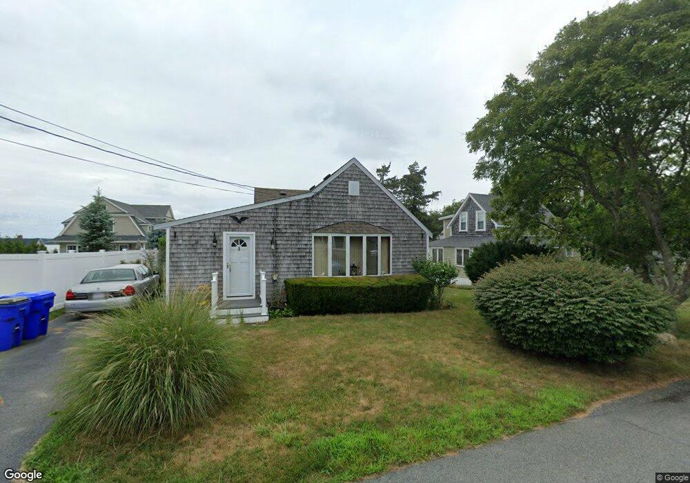
37 Wamsutta Ave Pocasset, MA 02559
Pocasset NeighborhoodEstimated Value: $692,000 - $804,672
2
Beds
1
Bath
944
Sq Ft
$788/Sq Ft
Est. Value
About This Home
This home is located at 37 Wamsutta Ave, Pocasset, MA 02559 and is currently estimated at $743,418, approximately $787 per square foot. 37 Wamsutta Ave is a home located in Barnstable County with nearby schools including Bourne High School, Cadence Academy Preschool - Bourne, and Heritage Christian Academy.
Create a Home Valuation Report for This Property
The Home Valuation Report is an in-depth analysis detailing your home's value as well as a comparison with similar homes in the area
Home Values in the Area
Average Home Value in this Area
Tax History Compared to Growth
Tax History
| Year | Tax Paid | Tax Assessment Tax Assessment Total Assessment is a certain percentage of the fair market value that is determined by local assessors to be the total taxable value of land and additions on the property. | Land | Improvement |
|---|---|---|---|---|
| 2025 | $5,686 | $728,100 | $508,200 | $219,900 |
| 2024 | $5,414 | $675,000 | $483,900 | $191,100 |
| 2023 | $5,264 | $597,500 | $428,300 | $169,200 |
| 2022 | $5,180 | $513,400 | $379,000 | $134,400 |
| 2021 | $5,034 | $467,400 | $344,900 | $122,500 |
| 2020 | $4,917 | $457,800 | $341,700 | $116,100 |
| 2019 | $4,743 | $451,300 | $341,700 | $109,600 |
| 2018 | $4,474 | $424,500 | $325,400 | $99,100 |
| 2017 | $4,330 | $420,400 | $322,400 | $98,000 |
| 2016 | $4,226 | $415,900 | $322,400 | $93,500 |
| 2015 | $3,972 | $394,400 | $300,900 | $93,500 |
Source: Public Records
Map
Nearby Homes
- 171 Bellavista Dr
- 22 Nairn Rd
- 48 Red Brook Harbor Rd
- 34 Kenwood Rd
- 254 Barlows Landing Rd
- 3 Red Brook Pond Dr
- 45 Kenwood Rd
- 1094 County Rd
- 70 Wings Neck Rd
- 940 County Rd
- 940 County Rd
- 709 County Rd
- 24 Richmond Rd
- 174 Barlows Landing Rd
- 14 Navajo Rd
- 7 4th Ave
- 15 1st St
- 89 Harbor Dr
- 39 Bennets Neck Dr