37 West Point Rd Moultonborough, NH 03254
Estimated Value: $964,000 - $1,704,000
5
Beds
4
Baths
3,942
Sq Ft
$340/Sq Ft
Est. Value
About This Home
This home is located at 37 West Point Rd, Moultonborough, NH 03254 and is currently estimated at $1,339,738, approximately $339 per square foot. 37 West Point Rd is a home with nearby schools including Moultonborough Central School and Moultonborough Academy High School.
Ownership History
Date
Name
Owned For
Owner Type
Purchase Details
Closed on
Aug 27, 1996
Sold by
Goldstein Steven H
Bought by
Gentile Stephen J and Gentile Kimberly A
Current Estimated Value
Home Financials for this Owner
Home Financials are based on the most recent Mortgage that was taken out on this home.
Original Mortgage
$75,000
Outstanding Balance
$6,555
Interest Rate
8.4%
Mortgage Type
Purchase Money Mortgage
Estimated Equity
$1,333,184
Create a Home Valuation Report for This Property
The Home Valuation Report is an in-depth analysis detailing your home's value as well as a comparison with similar homes in the area
Home Values in the Area
Average Home Value in this Area
Purchase History
| Date | Buyer | Sale Price | Title Company |
|---|---|---|---|
| Gentile Stephen J | $107,000 | -- |
Source: Public Records
Mortgage History
| Date | Status | Borrower | Loan Amount |
|---|---|---|---|
| Open | Gentile Stephen J | $75,000 |
Source: Public Records
Tax History Compared to Growth
Tax History
| Year | Tax Paid | Tax Assessment Tax Assessment Total Assessment is a certain percentage of the fair market value that is determined by local assessors to be the total taxable value of land and additions on the property. | Land | Improvement |
|---|---|---|---|---|
| 2024 | $5,554 | $983,000 | $216,100 | $766,900 |
| 2023 | $2,768 | $485,600 | $165,400 | $320,200 |
| 2022 | $1,249 | $261,200 | $125,500 | $135,700 |
| 2021 | $1,531 | $219,300 | $102,600 | $116,700 |
| 2020 | $1,455 | $204,000 | $92,300 | $111,700 |
| 2019 | $1,433 | $200,400 | $92,300 | $108,100 |
| 2018 | $1,450 | $187,800 | $85,500 | $102,300 |
| 2017 | $1,449 | $176,300 | $85,500 | $90,800 |
| 2016 | $1,469 | $168,100 | $85,500 | $82,600 |
| 2015 | $1,441 | $159,900 | $80,700 | $79,200 |
| 2014 | $1,435 | $162,000 | $80,700 | $81,300 |
| 2013 | $1,408 | $162,000 | $80,700 | $81,300 |
Source: Public Records
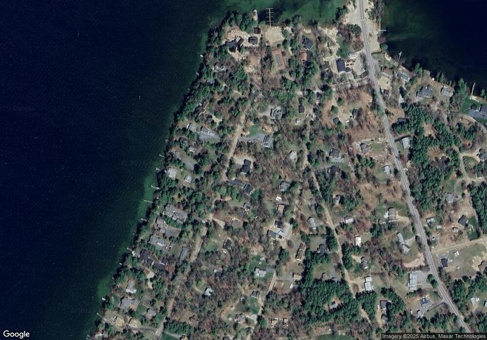
Map
Nearby Homes
- 62 W Point Rd
- 10 Woodridge Rd
- 130 W Point Rd
- 00 Moultonboro Neck Rd Unit 2
- 00 Moultonboro Neck Rd
- 167 Long Island Rd
- 16 Long Island Rd
- 19 Alderberry Ln
- 42 High Ridge Rd
- 109 Leaward Shores Rd
- 00 Beede Rd
- 65 Beede Rd
- 00 Rivers Rd
- 35 Echo Landing Rd
- 9 Starboard Ln Unit 1
- 11 Portside Dr Unit 4
- 47 Pot O Beans Rd
- 484 Long Island Rd
- 23 Harbourside Dr
- 14 Island View Dr
- 41 West Point Rd
- 45 West Point Rd
- 33 W Point Rd
- 33 West Point Rd
- 22 Woodrin Rd
- 26 Woodrin Rd
- 14 Woodrin Rd
- 51 West Point Rd
- 84 W Point Rd
- 42 West Point Rd
- 52 W Point Rd
- 46 West Point Rd
- 29 West Point Rd
- 34 Woodrin Rd
- 23 Woodrin Rd
- 50 W Point Rd
- 36 West Point Rd
- 53 W Point Rd
- 54 West Point Rd
- 28 Tall Pine Rd