370 Cole Hill Rd Standish, ME 04084
Richville NeighborhoodEstimated Value: $430,000 - $665,000
3
Beds
2
Baths
1,734
Sq Ft
$318/Sq Ft
Est. Value
About This Home
This home is located at 370 Cole Hill Rd, Standish, ME 04084 and is currently estimated at $551,791, approximately $318 per square foot. 370 Cole Hill Rd is a home with nearby schools including Bonny Eagle High School.
Ownership History
Date
Name
Owned For
Owner Type
Purchase Details
Closed on
Nov 14, 2023
Sold by
Andrews James A and Andrews Phyllis A
Bought by
Andrews James A and Andrews Phyllis A
Current Estimated Value
Purchase Details
Closed on
Apr 14, 2023
Sold by
Andrews Barbara A
Bought by
Andrews James A
Purchase Details
Closed on
Aug 22, 2016
Sold by
Niehaus Roberta J and Lahti April R
Bought by
Andrews James A and Andrews Phyllis A
Purchase Details
Closed on
May 5, 2010
Sold by
Niehaus Roberta J and Lahti April R
Bought by
Andrews James A and Andrews Phyllis A
Create a Home Valuation Report for This Property
The Home Valuation Report is an in-depth analysis detailing your home's value as well as a comparison with similar homes in the area
Home Values in the Area
Average Home Value in this Area
Purchase History
| Date | Buyer | Sale Price | Title Company |
|---|---|---|---|
| Andrews James A | -- | None Available | |
| Andrews James A | -- | None Available | |
| Andrews James A | -- | None Available | |
| Andrews James A | -- | None Available | |
| Andrews James A | -- | -- | |
| Andrews James A | $53,000 | -- | |
| Andrews James A | -- | -- | |
| Andrews James A | $53,000 | -- |
Source: Public Records
Tax History Compared to Growth
Tax History
| Year | Tax Paid | Tax Assessment Tax Assessment Total Assessment is a certain percentage of the fair market value that is determined by local assessors to be the total taxable value of land and additions on the property. | Land | Improvement |
|---|---|---|---|---|
| 2024 | $5,085 | $403,600 | $68,800 | $334,800 |
| 2023 | $4,677 | $337,700 | $58,300 | $279,400 |
| 2022 | $4,381 | $303,200 | $52,200 | $251,000 |
| 2021 | $4,310 | $287,300 | $47,900 | $239,400 |
| 2019 | $3,957 | $276,700 | $45,700 | $231,000 |
| 2018 | $3,786 | $272,400 | $41,400 | $231,000 |
| 2017 | $3,609 | $272,400 | $41,400 | $231,000 |
| 2016 | $3,492 | $272,400 | $41,400 | $231,000 |
| 2015 | $3,484 | $272,400 | $41,400 | $231,000 |
| 2013 | $3,291 | $272,400 | $41,400 | $231,000 |
Source: Public Records
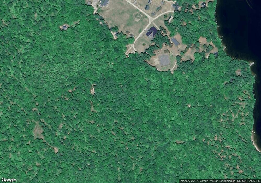
Map
Nearby Homes
- Lot #16 Cole Hill Rd
- 415 Richville Rd
- 26 Binford Rd
- 12 Hillside Dr
- 22 Estes Dr
- 31 Hunters Haven
- 11 Estes Dr
- 16 Hunters Haven
- 52 Perimeter Ave
- 6 Hunters Haven
- 9 Carroll Ave
- 8 Perimeter Ave
- 9 Hunters Haven
- 1 Mosley Rd
- 67 Natures Way
- 13 Quest Ave
- 7 Wild Acres Rd
- 59 Wild Acres Rd
- 56 Woodbrey Ln
- 361 Cape Rd
- 336 Cole Hill Rd
- 350 Cole Hill Rd
- 392 Cole Hill Rd
- 396 Cole Hill Rd
- 424 Cole Hill Rd
- 5 Long Point Rd
- 402 Cole Hill Rd
- 9 Long Point Rd
- 9 Long Point Rd Unit ID1255701P
- 412 Cole Hill Rd
- 425 Cole Hill Rd
- 61 Sunningdale Dr
- 420 Cole Hill Rd
- 416 Cole Hill Rd
- 429 Cole Hill Rd
- 408 Cole Hill Rd
- 428 Cole Hill Rd
- 15 Long Point Rd
- 21 Long Point Rd
- 432 Cole Hill Rd