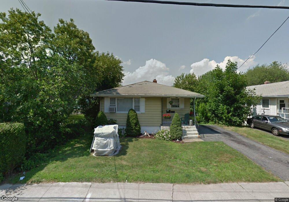
370 Lighthouse Rd New Haven, CT 06512
East Shore NeighborhoodEstimated Value: $310,556 - $638,000
3
Beds
2
Baths
1,136
Sq Ft
$397/Sq Ft
Est. Value
About This Home
This home is located at 370 Lighthouse Rd, New Haven, CT 06512 and is currently estimated at $450,889, approximately $396 per square foot. 370 Lighthouse Rd is a home located in New Haven County with nearby schools including Elm City College Preparatory School and Pathway School.
Ownership History
Date
Name
Owned For
Owner Type
Purchase Details
Closed on
Nov 16, 2020
Sold by
Hawkins Kenneth and Bernardo Arsenio
Bought by
Bernardo Arsenio and Bernardo Denise A
Current Estimated Value
Purchase Details
Closed on
Sep 24, 1998
Sold by
Demartin Olivia G
Bought by
Bernardo Denise
Home Financials for this Owner
Home Financials are based on the most recent Mortgage that was taken out on this home.
Original Mortgage
$53,000
Interest Rate
9.75%
Create a Home Valuation Report for This Property
The Home Valuation Report is an in-depth analysis detailing your home's value as well as a comparison with similar homes in the area
Home Values in the Area
Average Home Value in this Area
Purchase History
| Date | Buyer | Sale Price | Title Company |
|---|---|---|---|
| Bernardo Arsenio | -- | None Available | |
| Bernardo Denise | $40,000 | -- |
Source: Public Records
Mortgage History
| Date | Status | Borrower | Loan Amount |
|---|---|---|---|
| Previous Owner | Bernardo Denise | $100,000 | |
| Previous Owner | Bernardo Denise | $130,000 | |
| Previous Owner | Bernardo Denise | $53,000 |
Source: Public Records
Tax History Compared to Growth
Tax History
| Year | Tax Paid | Tax Assessment Tax Assessment Total Assessment is a certain percentage of the fair market value that is determined by local assessors to be the total taxable value of land and additions on the property. | Land | Improvement |
|---|---|---|---|---|
| 2025 | $5,847 | $148,400 | $64,680 | $83,720 |
| 2024 | $5,713 | $148,400 | $64,680 | $83,720 |
| 2023 | $5,520 | $148,400 | $64,680 | $83,720 |
| 2022 | $5,899 | $148,400 | $64,680 | $83,720 |
| 2021 | $4,915 | $112,000 | $42,000 | $70,000 |
| 2020 | $4,915 | $112,000 | $42,000 | $70,000 |
| 2019 | $4,814 | $112,000 | $42,000 | $70,000 |
| 2018 | $4,814 | $112,000 | $42,000 | $70,000 |
| 2017 | $4,332 | $112,000 | $42,000 | $70,000 |
| 2016 | $4,921 | $118,440 | $41,090 | $77,350 |
| 2015 | $4,921 | $118,440 | $41,090 | $77,350 |
| 2014 | $4,921 | $118,440 | $41,090 | $77,350 |
Source: Public Records
Map
Nearby Homes
- 119 Cove St
- 114 Cove St
- 280 Marion St
- 86 Cove St
- 44 Meadow View Rd
- 60 Townsend Ave
- 50 Concord St
- 75 Townsend Ave
- 3 Stoddard Rd
- 34 Beecher Place
- 2 Old Town Hwy Unit 39
- 26 Nelson St
- 166 Beach Ave
- 20 Ira St
- 1820 Dean St
- 560 Silver Sands Rd Unit 403
- 384 Silver Sands Rd
- 380 Silver Sands Rd
- 372 Cosey Beach Ave
- 60 Coleman St Unit 15
- 368 Lighthouse Rd
- 376 Lighthouse Rd
- 360 Lighthouse Rd
- 165 Cove St
- 382 Lighthouse Rd
- 149 Cove St
- 386 Lighthouse Rd
- 365 Lighthouse Rd
- 171 Cove St
- 145 Cove St
- 190 Ocean View St
- 361 Lighthouse Rd
- 392 Lighthouse Rd
- 392 Lighthouse Rd Unit 2
- 357 Lighthouse Rd
- 387 Lighthouse Rd
- 32 Anthony Dr
- 179 Cove St
- 28 Anthony Dr
- 346 Lighthouse Rd