370 Mingo Loop Rd Rangeley, ME 04970
Estimated Value: $455,000
3
Beds
2
Baths
1,260
Sq Ft
$361/Sq Ft
Est. Value
About This Home
This home is located at 370 Mingo Loop Rd, Rangeley, ME 04970 and is currently estimated at $455,000, approximately $361 per square foot. 370 Mingo Loop Rd is a home located in Franklin County with nearby schools including Rangeley Lakes Regional School.
Ownership History
Date
Name
Owned For
Owner Type
Purchase Details
Closed on
May 12, 2011
Sold by
Wilk Joseph J and Wilk Elaine L
Bought by
J J & E L Wilk Ret and Wilk
Current Estimated Value
Purchase Details
Closed on
Oct 17, 2007
Sold by
Cockcroft Rebecca J
Bought by
Wilk Joseph J and Wilk Elaine L
Home Financials for this Owner
Home Financials are based on the most recent Mortgage that was taken out on this home.
Original Mortgage
$214,700
Interest Rate
6.51%
Mortgage Type
Purchase Money Mortgage
Create a Home Valuation Report for This Property
The Home Valuation Report is an in-depth analysis detailing your home's value as well as a comparison with similar homes in the area
Purchase History
| Date | Buyer | Sale Price | Title Company |
|---|---|---|---|
| J J & E L Wilk Ret | -- | -- | |
| J J & E L Wilk Ret | -- | -- | |
| Wilk Joseph J | -- | -- | |
| Wilk Joseph J | -- | -- |
Source: Public Records
Mortgage History
| Date | Status | Borrower | Loan Amount |
|---|---|---|---|
| Open | Wilk Joseph J | $163,200 | |
| Closed | Wilk Joseph J | $214,700 |
Source: Public Records
Tax History
| Year | Tax Paid | Tax Assessment Tax Assessment Total Assessment is a certain percentage of the fair market value that is determined by local assessors to be the total taxable value of land and additions on the property. | Land | Improvement |
|---|---|---|---|---|
| 2024 | $2,819 | $230,500 | $78,600 | $151,900 |
| 2023 | $2,819 | $230,500 | $78,600 | $151,900 |
| 2022 | $2,491 | $165,400 | $56,600 | $108,800 |
| 2021 | $2,453 | $165,400 | $56,600 | $108,800 |
| 2020 | $2,289 | $165,400 | $56,600 | $108,800 |
| 2019 | $2,307 | $165,400 | $56,600 | $108,800 |
| 2018 | $2,233 | $165,400 | $56,600 | $108,800 |
| 2017 | $2,096 | $165,400 | $56,600 | $108,800 |
| 2016 | $1,972 | $165,400 | $56,600 | $108,800 |
| 2015 | $1,894 | $165,400 | $56,600 | $108,800 |
| 2014 | $1,910 | $165,400 | $56,600 | $108,800 |
| 2013 | $1,935 | $165,400 | $56,600 | $108,800 |
Source: Public Records
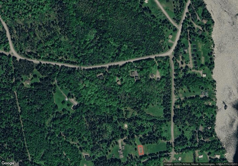
Map
Nearby Homes
- 378 Mingo Loop Rd
- Lot 7 Sanctuary Dr
- 62 Hernborg Rd
- 30 Spotted Fawn Ln
- 574 Mingo Loop Rd
- 642 Mingo Loop Rd
- 658 Mingo Loop Rd
- 41 Stone Hedge Ln
- 65 Judkins Rd
- 747 S South Shore Dr Unit 25
- 60 Targett Rd
- 44 Loon Lake Rd
- 62 Loon Lake Rd
- 640 Bald Mountain Rd
- 641 Bald Mountain Rd
- 58 Winter Rd
- 451 S Shore Dr
- 163 Bemis Rd
- 166 Bemis Rd
- M8 L1 - 8 Case Rd
- 368 Mingo Loop Rd
- 364 Mingo Loop Rd
- 347 Mingo Loop Rd
- Lot 6 Sanctuary Farm Rd
- 6 Sanctuary Farm Dr
- 33 Hunter Cove Rd
- 33 Hunter Cove Rd Unit 8
- 00 Sanctuary Dr Unit 12
- 00 Sanctuary Dr Unit 10
- 00 Sanctuary Dr Unit 6
- Lot 2 Sanctuary Farm Rd
- Lot 2 Sanctuary Dr
- 10 Sanctuary Farms Dr
- Lot 10 Sanctuary Dr
- 44 Hunter Cove Rd
- 46 Hunter Cove Rd Unit 7
- 44 Hunter Cove Rd Unit 6
- 12 Sanctuary Dr
- 24 Hunter Cove Rd Unit 1
- 6 Hunter Cove Rd
Your Personal Tour Guide
Ask me questions while you tour the home.