370 N Bay Rd Osterville, MA 2655
Osterville NeighborhoodEstimated Value: $5,196,000 - $6,831,717
3
Beds
2
Baths
2,422
Sq Ft
$2,483/Sq Ft
Est. Value
About This Home
This home is located at 370 N Bay Rd, Osterville, MA 2655 and is currently estimated at $6,013,859, approximately $2,483 per square foot. 370 N Bay Rd is a home located in Barnstable County with nearby schools including West Villages Elementary School, Barnstable United Elementary School, and Barnstable Intermediate School.
Ownership History
Date
Name
Owned For
Owner Type
Purchase Details
Closed on
Apr 22, 2019
Sold by
Burton Mark H
Bought by
Burton Mark H and Turner Jean
Current Estimated Value
Purchase Details
Closed on
Mar 7, 1996
Sold by
Clarke Robert B and Clarke Barbara L
Bought by
North Bay Road Rt and Conathan
Create a Home Valuation Report for This Property
The Home Valuation Report is an in-depth analysis detailing your home's value as well as a comparison with similar homes in the area
Home Values in the Area
Average Home Value in this Area
Purchase History
| Date | Buyer | Sale Price | Title Company |
|---|---|---|---|
| Burton Mark H | -- | -- | |
| Burton Mark H | -- | -- | |
| North Bay Road Rt | $1,850,000 | -- |
Source: Public Records
Tax History Compared to Growth
Tax History
| Year | Tax Paid | Tax Assessment Tax Assessment Total Assessment is a certain percentage of the fair market value that is determined by local assessors to be the total taxable value of land and additions on the property. | Land | Improvement |
|---|---|---|---|---|
| 2025 | $65,459 | $8,091,400 | $5,045,300 | $3,046,100 |
| 2024 | $61,559 | $7,882,100 | $5,045,300 | $2,836,800 |
| 2023 | $59,068 | $7,082,500 | $4,596,500 | $2,486,000 |
| 2022 | $60,911 | $6,318,600 | $4,291,000 | $2,027,600 |
| 2021 | $69 | $5,912,600 | $4,045,800 | $1,866,800 |
| 2020 | $70,314 | $6,415,500 | $4,710,300 | $1,705,200 |
| 2019 | $66 | $6,340,600 | $4,710,300 | $1,630,300 |
| 2018 | $6,975 | $6,449,000 | $4,958,200 | $1,490,800 |
| 2017 | $62 | $6,315,600 | $4,958,200 | $1,357,400 |
| 2016 | $68,946 | $6,325,300 | $4,961,200 | $1,364,100 |
| 2015 | $66,456 | $6,125,000 | $4,759,900 | $1,365,100 |
Source: Public Records
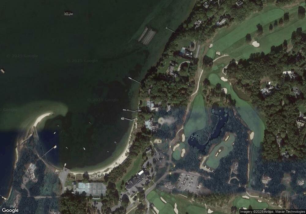
Map
Nearby Homes
- 245 N Bay Rd
- 25 Oyster Way
- 71 Sand Point
- 174 Little River Rd
- 355 Bridge St
- 440 Grand Island Dr
- 426 Old Post Rd
- 135 Putnam Ave
- Lot 289 Seapuit River B Rd
- Lot 288 Seapuit River A Rd
- Lot 289 Seapuit River Road B
- Lot 288 Seapuit River Rd A
- 14 Indian Trail
- 5 Putnam Ave
- 24 Bay Rd
- 916 Main St
- 359 Baxter Neck Rd
- 43 Poponessett Rd
- 360 N Bay Rd
- 360 N North Bay
- 360 N Bay Rd
- 390 N Bay Rd
- 340 N Bay Rd
- 310 N Bay Rd
- 131 Grand Island Dr
- 170 Grand Island Dr
- 110 Grand Island Dr
- 94 Grand Island Dr
- 290 N Bay Rd
- 290 E Bay Rd
- 290 N Bay Rd
- 74 Grand Island Dr
- 275 N Bay Rd
- 280 N Bay Rd
- 65 Oakdale Rd
- 85 Oakdale Path
- 85 Oakdale Rd
- 260 N Bay Rd