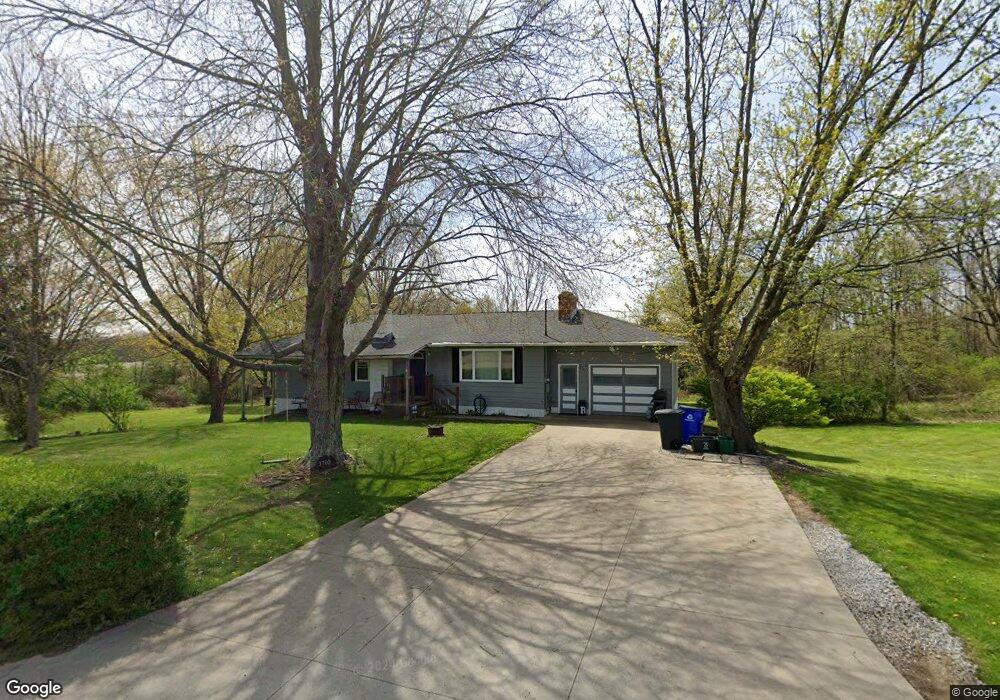
3700 Bower Rd Rootstown, OH 44272
Estimated Value: $184,388 - $235,000
3
Beds
2
Baths
1,188
Sq Ft
$170/Sq Ft
Est. Value
About This Home
This home is located at 3700 Bower Rd, Rootstown, OH 44272 and is currently estimated at $202,347, approximately $170 per square foot. 3700 Bower Rd is a home located in Portage County with nearby schools including Rootstown Middle School - Schnee Building and Rootstown High School.
Ownership History
Date
Name
Owned For
Owner Type
Purchase Details
Closed on
Aug 26, 2016
Sold by
Kearns Becky and Lockhart Warren P
Bought by
Rader Harley R and Rader Heather M
Current Estimated Value
Home Financials for this Owner
Home Financials are based on the most recent Mortgage that was taken out on this home.
Original Mortgage
$78,400
Outstanding Balance
$61,575
Interest Rate
3.42%
Mortgage Type
New Conventional
Estimated Equity
$140,772
Purchase Details
Closed on
Jan 1, 1990
Bought by
Lockhart Harold
Create a Home Valuation Report for This Property
The Home Valuation Report is an in-depth analysis detailing your home's value as well as a comparison with similar homes in the area
Purchase History
| Date | Buyer | Sale Price | Title Company |
|---|---|---|---|
| Rader Harley R | $196,000 | Nova Title Agency Inc | |
| Lockhart Harold | -- | -- |
Source: Public Records
Mortgage History
| Date | Status | Borrower | Loan Amount |
|---|---|---|---|
| Open | Rader Harley R | $78,400 |
Source: Public Records
Tax History
| Year | Tax Paid | Tax Assessment Tax Assessment Total Assessment is a certain percentage of the fair market value that is determined by local assessors to be the total taxable value of land and additions on the property. | Land | Improvement |
|---|---|---|---|---|
| 2025 | $2,439 | $58,140 | $10,260 | $47,880 |
| 2024 | $2,344 | $58,140 | $10,260 | $47,880 |
| 2023 | $1,751 | $38,400 | $9,030 | $29,370 |
| 2022 | $1,725 | $38,400 | $9,030 | $29,370 |
| 2021 | $1,719 | $38,400 | $9,030 | $29,370 |
| 2020 | $1,559 | $33,500 | $8,610 | $24,890 |
| 2019 | $1,564 | $33,500 | $8,610 | $24,890 |
| 2018 | $1,636 | $33,360 | $9,170 | $24,190 |
| 2017 | $1,636 | $33,360 | $9,170 | $24,190 |
| 2016 | $1,646 | $33,360 | $9,170 | $24,190 |
| 2015 | $1,665 | $33,360 | $9,170 | $24,190 |
| 2014 | $1,165 | $33,360 | $9,170 | $24,190 |
| 2013 | $1,153 | $33,360 | $9,170 | $24,190 |
Source: Public Records
Map
Nearby Homes
- 3701 State Route 44
- 3689 Cherry Hill
- 3637 Old Forge Rd
- 4079 Siefer Dr
- 3021 Hartville Rd
- V/L 2 Lynn Rd
- V/L Lynn Rd
- 4556 Rootstown Rd
- 3080 Saxe Rd
- 3981 March Creek Ln Unit 37
- 4415 Farmette Dr
- sub lot Lane Ave
- 4140 Sandy Lake Rd
- 4184 Hunters Ridge Dr
- 4200 Hattrick Rd
- 2978 Sandy Lake Rd
- 3583 Randolph Rd
- 2326 Orchard Cir
- 2277 Orchard Cir
- 4620 Briar Hill Dr
Your Personal Tour Guide
Ask me questions while you tour the home.