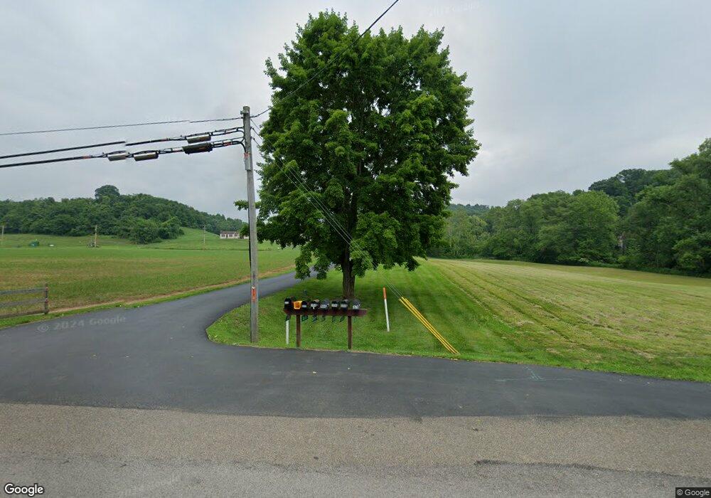
3700 State Route 60 Marietta, OH 45750
Estimated Value: $355,000 - $602,000
4
Beds
5
Baths
3,698
Sq Ft
$128/Sq Ft
Est. Value
About This Home
This home is located at 3700 State Route 60, Marietta, OH 45750 and is currently estimated at $471,829, approximately $127 per square foot. 3700 State Route 60 is a home with nearby schools including Marietta High School, St. Mary Catholic School, and Marietta Christian School.
Ownership History
Date
Name
Owned For
Owner Type
Purchase Details
Closed on
Oct 18, 2016
Sold by
Broughton George W and Broughton Nancy Reger
Bought by
Broughton Commericial Properties Llc
Current Estimated Value
Purchase Details
Closed on
Sep 9, 2016
Sold by
Broughton George W and Broughton Nancy Reger
Bought by
Broughton George William and Broughton Nancy R
Purchase Details
Closed on
Aug 4, 2016
Sold by
Broughton George W and Broughton Nancy Reger
Bought by
Broughton Commercial Properties Llc
Purchase Details
Closed on
Jul 9, 1992
Bought by
Broughton George W and Broughton Nan
Purchase Details
Closed on
Dec 31, 1987
Create a Home Valuation Report for This Property
The Home Valuation Report is an in-depth analysis detailing your home's value as well as a comparison with similar homes in the area
Home Values in the Area
Average Home Value in this Area
Purchase History
| Date | Buyer | Sale Price | Title Company |
|---|---|---|---|
| Broughton Commericial Properties Llc | -- | Attorney | |
| Broughton George William | $25,000 | Attorney | |
| Broughton Commercial Properties Llc | -- | Attorney | |
| Broughton George W | $250,000 | -- | |
| -- | -- | -- |
Source: Public Records
Tax History Compared to Growth
Tax History
| Year | Tax Paid | Tax Assessment Tax Assessment Total Assessment is a certain percentage of the fair market value that is determined by local assessors to be the total taxable value of land and additions on the property. | Land | Improvement |
|---|---|---|---|---|
| 2024 | $3,114 | $112,170 | $36,200 | $75,970 |
| 2023 | $3,114 | $112,170 | $36,200 | $75,970 |
| 2022 | $3,112 | $112,170 | $36,200 | $75,970 |
| 2021 | $2,957 | $78,080 | $8,090 | $69,990 |
| 2020 | $2,965 | $78,080 | $8,090 | $69,990 |
| 2019 | $2,965 | $78,080 | $8,090 | $69,990 |
| 2018 | $2,945 | $73,870 | $8,000 | $65,870 |
| 2017 | $3,314 | $83,260 | $8,570 | $74,690 |
| 2016 | $5,190 | $130,520 | $13,150 | $117,370 |
| 2015 | $5,532 | $132,830 | $16,010 | $116,820 |
| 2014 | $9,068 | $132,830 | $16,010 | $116,820 |
| 2013 | $2,755 | $132,310 | $16,010 | $116,300 |
Source: Public Records
Map
Nearby Homes
- 520 Millgate Rd
- 111 Hanson Dr
- 132 Mound Dr
- 123 Deerwalk Cir
- 332 Muskingum Dr
- 107 Country Meadow Dr
- 0 Academy Dr
- 105 Woodcrest Dr
- 315 Muskingum Dr
- 2585 Glendale Rd
- 207 Lindsey Ave
- 120 Woodcrest Dr
- 101 Winters Dr
- 120 Meadow Ln
- 1099 Colegate Dr
- 1 Hickory Ln
- 8 Mountain Laurel Dr
- 6 Mountain Laurel Dr
- 5 Mountain Laurel Dr
- 3 Mountain Laurel Dr
- 3670 State Route 60
- 3690 State Route 60
- 3680 State Route 60
- 520 Millgate Rd
- 300 Millgate Rd
- 536 Millgate Rd
- 280 State Route 821
- 250 Ohio 821
- 532 Millgate Rd
- 250 State Route 821
- 150 State Route 821
- 530 Millgate Rd
- 544 Millgate Rd
- 544 Millgate Rd
- 242 Millgate Rd
- 93 Cambridge Rd
- 260 State Route 821
- 230 Millgate Rd
- 220 Millgate Rd
- 95 State Route 821
