3702 Stone Rd Central City, IA 52214
Estimated Value: $538,000 - $692,000
5
Beds
3
Baths
2,637
Sq Ft
$238/Sq Ft
Est. Value
About This Home
This home is located at 3702 Stone Rd, Central City, IA 52214 and is currently estimated at $627,621, approximately $238 per square foot. 3702 Stone Rd is a home located in Linn County with nearby schools including Springville Elementary School and Springville Secondary School.
Ownership History
Date
Name
Owned For
Owner Type
Purchase Details
Closed on
Jun 17, 2020
Sold by
Conrad Diane M
Bought by
Franck Gary L
Current Estimated Value
Home Financials for this Owner
Home Financials are based on the most recent Mortgage that was taken out on this home.
Original Mortgage
$385,000
Outstanding Balance
$341,273
Interest Rate
3.2%
Mortgage Type
New Conventional
Estimated Equity
$286,348
Purchase Details
Closed on
Feb 28, 2017
Sold by
Conrad Todd R
Bought by
Conrad Diane M
Create a Home Valuation Report for This Property
The Home Valuation Report is an in-depth analysis detailing your home's value as well as a comparison with similar homes in the area
Home Values in the Area
Average Home Value in this Area
Purchase History
| Date | Buyer | Sale Price | Title Company |
|---|---|---|---|
| Franck Gary L | $515,000 | River Ridge Escrow Co | |
| Conrad Diane M | -- | None Available |
Source: Public Records
Mortgage History
| Date | Status | Borrower | Loan Amount |
|---|---|---|---|
| Open | Franck Gary L | $385,000 |
Source: Public Records
Tax History Compared to Growth
Tax History
| Year | Tax Paid | Tax Assessment Tax Assessment Total Assessment is a certain percentage of the fair market value that is determined by local assessors to be the total taxable value of land and additions on the property. | Land | Improvement |
|---|---|---|---|---|
| 2025 | $5,188 | $444,400 | $53,900 | $390,500 |
| 2024 | $4,584 | $407,700 | $46,000 | $361,700 |
| 2023 | $4,584 | $407,700 | $46,000 | $361,700 |
| 2022 | $4,466 | $301,500 | $33,700 | $267,800 |
| 2021 | $4,320 | $301,500 | $33,700 | $267,800 |
| 2020 | $4,320 | $278,500 | $34,900 | $243,600 |
| 2019 | $4,032 | $277,100 | $48,300 | $228,800 |
| 2018 | $3,950 | $277,100 | $48,300 | $228,800 |
| 2017 | $4,249 | $290,800 | $53,800 | $237,000 |
| 2016 | $4,249 | $290,800 | $53,800 | $237,000 |
| 2015 | $3,825 | $293,600 | $57,400 | $236,200 |
| 2014 | $3,680 | $293,600 | $57,400 | $236,200 |
| 2013 | $3,502 | $293,600 | $57,400 | $236,200 |
Source: Public Records
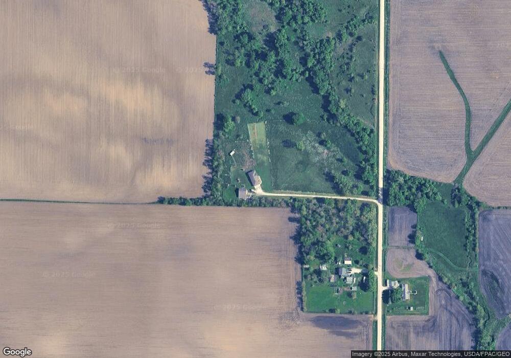
Map
Nearby Homes
- 1350 Waubeek Rd
- TBD Boy Scouts Rd
- 0 Tbd Boy Scout Rd Unit 24471680
- 502 5th Ave
- 408 5th Ave
- TBD Boulder Cemetery Rd
- 0 Tbd Boulder Cemetery Rd Unit LotWP001
- 260 Prairie Chapel Rd
- 231 Prairie Chapel Rd
- 832 E Main St
- 56 North Ave
- 43 River St S
- 29 5th St N
- 107 Mill Ave
- 3456 Quartz Dr
- 257 5th St N
- 2995 Royal Oak Ridge Rd
- Lot D Springville Rd
- Lot A Springville Rd
- Lot B1 Springville Rd
- 3686 Stone Rd
- 3704 Stone Rd
- 3683 Stone Rd
- 3752 Stone Rd
- 3614 Stone Rd
- 1194 Bowdish Rd
- 1154 Bowdish Rd
- 1297 Bowdish Rd
- 1141 Austin Rd
- 3566 Stone Rd
- 3745 Jordans Grove Rd
- 3565 Stone Rd
- 3691 Jordans Grove Rd
- 3563 Stone Rd
- 3882 Stone Rd
- 3682 Jordans Grove Rd
- 3528 Stone Rd
- 1390 Bowdish Rd
- 3662 Jordans Grove Rd
- 1397 Austin Rd