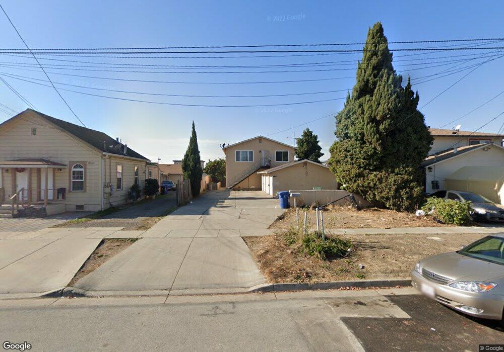
37029 Locust St Newark, CA 94560
Estimated Value: $1,110,000 - $1,973,000
About This Home
This home is located at 37029 Locust St, Newark, CA 94560 and is currently estimated at $1,461,429, approximately $490 per square foot. 37029 Locust St is a home located in Alameda County with nearby schools including August Schilling Elementary School, Newark Junior High School, and Newark Memorial High School.
Ownership History
We collect this data history from publicly available records. To have your information removed, we recommend requesting removal directly through your county’s website.
Purchase Details
Purchase Details
Home Financials for this Owner
Home Financials are based on the most recent Mortgage that was taken out on this home.Home Values in the Area
Average Home Value in this Area
Purchase History
We collect this data history from publicly available records. To have your information removed, we recommend requesting removal directly through your county’s website.
| Date | Buyer | Sale Price | Title Company |
|---|---|---|---|
| -- | None Available | ||
| $315,000 | North American Title Co |
Mortgage History
We collect this data history from publicly available records. To have your information removed, we recommend requesting removal directly through your county’s website.
| Date | Status | Borrower | Loan Amount |
|---|---|---|---|
| Open | $236,250 |
Tax History
We collect this data history from publicly available records. To have your information removed, we recommend requesting removal directly through your county’s website.
| Year | Tax Paid | Tax Assessment Tax Assessment Total Assessment is a certain percentage of the fair market value that is determined by local assessors to be the total taxable value of land and additions on the property. | Land | Improvement |
|---|---|---|---|---|
| 2025 | $7,377 | $484,120 | $145,236 | $338,884 |
| 2024 | $7,377 | $474,628 | $142,388 | $332,240 |
| 2023 | $7,129 | $465,324 | $139,597 | $325,727 |
| 2022 | $6,973 | $456,201 | $136,860 | $319,341 |
| 2021 | $6,831 | $447,258 | $134,177 | $313,081 |
| 2020 | $6,519 | $442,675 | $132,802 | $309,873 |
| 2019 | $6,438 | $433,997 | $130,199 | $303,798 |
| 2018 | $6,329 | $425,488 | $127,646 | $297,842 |
| 2017 | $6,166 | $417,147 | $125,144 | $292,003 |
| 2016 | $6,083 | $408,970 | $122,691 | $286,279 |
| 2015 | $6,058 | $402,827 | $120,848 | $281,979 |
| 2014 | $5,898 | $394,937 | $118,481 | $276,456 |
Map
- 36862 Walnut St
- 37052 Poplar St
- 6417/6433 Thornton Ave
- 37266 Spruce St
- 37340 Locust St
- 7995 Peachtree Ave
- 7325 Carter Ave
- 36569 Beutke Dr
- 36632 Magnolia St
- 36671 Ponderosa Ct
- 8420 Blue Anchor Way
- 37029 Olive St
- 37532 Bay Crest Rd
- 37645 Bay Crest Rd
- 8516 Peachtree Ave
- 37517 Bay Crest Rd
- 36347 Colbert Place
- 36833 Cherry St
- 36340 Cypress Point Dr
- 37549 Willow St
- 37037 Locust St
- 37023 Locust St
- 37045 Locust St
- 7834 Thornton Ave
- 37009 Locust St
- 37036 Walnut St
- 7848 Thornton Ave
- 37053 Locust St
- 37024 Walnut St Unit B
- 37024 Walnut St
- 37046 Walnut St
- 37054 Walnut St
- 37061 Locust St
- 37062 Walnut St
- 37072 Walnut St
- 37012 Walnut St Unit a
- 37012 Walnut St
- 37030 Locust St
- 37038 Locust St
- 37022 Locust St
Ask me questions while you tour the home.