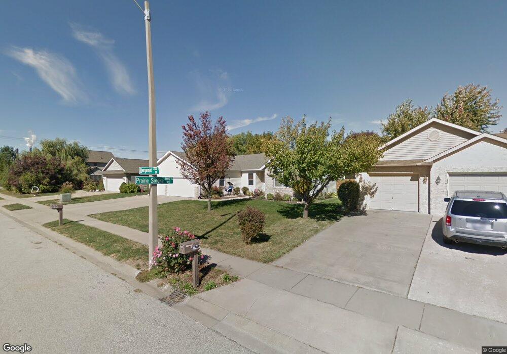
3705 Bergamot Dr Springfield, IL 62712
Estimated Value: $284,624 - $372,000
3
Beds
2
Baths
1,634
Sq Ft
$192/Sq Ft
Est. Value
About This Home
This home is located at 3705 Bergamot Dr, Springfield, IL 62712 and is currently estimated at $314,156, approximately $192 per square foot. 3705 Bergamot Dr is a home located in Sangamon County with nearby schools including Rochester Elementary Ec-1 School, Rochester Elementary School, and Rochester Intermediate School.
Ownership History
Date
Name
Owned For
Owner Type
Purchase Details
Closed on
Aug 5, 2015
Current Estimated Value
Purchase Details
Closed on
Jul 6, 2009
Purchase Details
Closed on
Nov 18, 2002
Purchase Details
Closed on
Sep 16, 2002
Purchase Details
Closed on
Aug 20, 2002
Purchase Details
Closed on
May 25, 2001
Purchase Details
Closed on
Mar 27, 2000
Create a Home Valuation Report for This Property
The Home Valuation Report is an in-depth analysis detailing your home's value as well as a comparison with similar homes in the area
Purchase History
| Date | Buyer | Sale Price | Title Company |
|---|---|---|---|
| -- | $244,900 | -- | |
| -- | $213,000 | -- | |
| -- | $147,000 | -- | |
| -- | -- | -- | |
| -- | $136,000 | -- | |
| -- | -- | -- | |
| -- | $25,500 | -- |
Source: Public Records
Tax History
| Year | Tax Paid | Tax Assessment Tax Assessment Total Assessment is a certain percentage of the fair market value that is determined by local assessors to be the total taxable value of land and additions on the property. | Land | Improvement |
|---|---|---|---|---|
| 2024 | $5,386 | $80,594 | $12,520 | $68,074 |
| 2023 | $5,057 | $73,615 | $11,436 | $62,179 |
| 2022 | $4,821 | $69,398 | $10,847 | $58,551 |
| 2021 | $4,648 | $66,800 | $10,441 | $56,359 |
| 2020 | $4,620 | $66,901 | $10,457 | $56,444 |
| 2019 | $4,527 | $66,668 | $10,421 | $56,247 |
| 2018 | $4,547 | $66,343 | $10,370 | $55,973 |
| 2017 | $4,472 | $65,485 | $10,236 | $55,249 |
| 2016 | $4,409 | $64,530 | $10,087 | $54,443 |
| 2015 | $4,363 | $63,758 | $9,966 | $53,792 |
| 2014 | $4,142 | $63,347 | $9,902 | $53,445 |
| 2013 | $4,117 | $60,804 | $9,902 | $50,902 |
Source: Public Records
Map
Nearby Homes
- 3120 Red Bud Ln
- 66 White Birch Rd
- 4112 Blair Dr
- 5 Swannanoa Unit 1
- 53 Mishawaka Dr Unit 1
- 2632 Hilltop Rd
- 329-331 Harbor Point Place
- 312 Harbor Point Place
- 314 Harbor Point Place
- 0 Oak Hill Rd
- 2632 Steiler Place
- 2906 Taylor Ave Unit 11
- 3518 Sheffield Rd Unit 1
- 2875 Taylor Ave
- 0 Varsity Ct
- 2025 E Hood St Unit 1
- 3100 Butler St Unit 1833
- 4013 S Milan Rd
- 2800 Via Rosso St Unit 135
- 2800 Via Rosso St Unit 147
- 3709 Bergamot Dr
- 3701 Bergamot Dr
- 3601 Prairie Smoke Ct
- 3708 Indian Grass Ln
- 3704 Indian Grass Ln
- 3713 Bergamot Dr
- 3700 Bergamot Dr
- 3712 Indian Grass Ln
- 3528 Saint Annes Dr
- 3528 Saint Anne's Dr
- 3600 Prairie Smoke Ct
- 3524 Saint Annes Dr
- 3700 Indian Grass Ln
- 3717 Bergamot Dr
- 3716 Indian Grass Ln
- 3520 Saint Annes Dr
- 3605 Prairie Smoke Ct
- 3600 Saint Annes Dr
- 3604 Prairie Smoke Ct
- 3600 Saint Anne's Dr
Your Personal Tour Guide
Ask me questions while you tour the home.