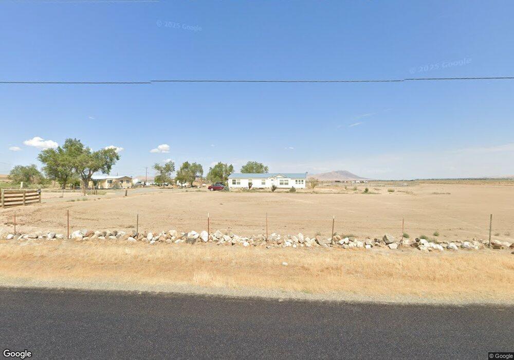
3705 Muddy Rd Winnemucca, NV 89445
Estimated Value: $453,649 - $802,000
--
Bed
--
Bath
2,130
Sq Ft
$296/Sq Ft
Est. Value
About This Home
This home is located at 3705 Muddy Rd, Winnemucca, NV 89445 and is currently estimated at $630,216, approximately $295 per square foot. 3705 Muddy Rd is a home located in Pershing County with nearby schools including Pershing County Middle School and Pershing County High School.
Ownership History
Date
Name
Owned For
Owner Type
Purchase Details
Closed on
Jan 15, 2018
Sold by
Mccullough Paul G and Mccullough Patricia A
Bought by
Draper Timothy
Current Estimated Value
Home Financials for this Owner
Home Financials are based on the most recent Mortgage that was taken out on this home.
Original Mortgage
$300,000
Interest Rate
3.75%
Mortgage Type
New Conventional
Create a Home Valuation Report for This Property
The Home Valuation Report is an in-depth analysis detailing your home's value as well as a comparison with similar homes in the area
Home Values in the Area
Average Home Value in this Area
Purchase History
| Date | Buyer | Sale Price | Title Company |
|---|---|---|---|
| Draper Timothy | $180,000 | Western Title Inc |
Source: Public Records
Mortgage History
| Date | Status | Borrower | Loan Amount |
|---|---|---|---|
| Previous Owner | Draper Timothy | $300,000 |
Source: Public Records
Tax History Compared to Growth
Tax History
| Year | Tax Paid | Tax Assessment Tax Assessment Total Assessment is a certain percentage of the fair market value that is determined by local assessors to be the total taxable value of land and additions on the property. | Land | Improvement |
|---|---|---|---|---|
| 2025 | $2,762 | $76,611 | $4,288 | $72,323 |
| 2024 | $2,762 | $79,771 | $4,288 | $75,483 |
| 2023 | $2,762 | $75,095 | $4,288 | $70,807 |
| 2022 | $2,415 | $67,198 | $4,288 | $62,910 |
| 2021 | $2,165 | $60,040 | $4,288 | $55,752 |
| 2020 | $2,153 | $59,946 | $1,878 | $58,068 |
| 2019 | $2,101 | $60,084 | $1,878 | $58,206 |
| 2018 | $2,039 | $58,098 | $1,878 | $56,220 |
| 2017 | $2,041 | $58,146 | $1,878 | $56,268 |
| 2016 | $1,935 | $54,351 | $1,878 | $52,473 |
| 2015 | $1,869 | $54,606 | $1,878 | $52,728 |
| 2014 | $1,869 | $54,862 | $1,878 | $52,984 |
Source: Public Records
Map
Nearby Homes
- T34
- 80 acres Muddy Rd
- 009-040-21 Muddy Rd
- APN 14-0201-15 Cormier Blvd
- APN 14-0201-16 Cormier Blvd
- 155 Misty Ct
- 200 Misty Ct
- 1625 Youngberg Rd
- 1200 van Diest Rd
- 00915004 Logan Rd
- 6105 Amos Dr
- 0 Mae Nichols Dr
- 6265 Sandi Dr
- APN 14-0261-10 Moose Dr
- 100 Bear Ln
- 14-0201-10 Wild Horse Rd
- APN 14-0261-09 Moose Dr
- 6090 Ardis Dr
- 2505 Baines Rd
- APN 14-0201-05 Elk St
- 3725 Muddy Rd
- 3505 Muddy Rd
- 150 Mcneil Rd
- 205 Mcneil Rd
- 200 Mcneil Rd
- 009-160-13 Herschell Rd
- APN 14001303 Herschell Rd
- 00903310 Herschell Rd
- Airport Herschell Rd
- 009-090-34 Herschell Rd
- 3223 Muddy Rd
- 100 Rose Peak Ct
- 270 Mcneil Rd
- 270 Mcneil Rd
- 355 Mcneil Rd
- 2705 S Herschel
- 405 Mcneil Rd
- 3155 Muddy Rd
- 700 Mcneil Rd
- 2800 Herschell Rd