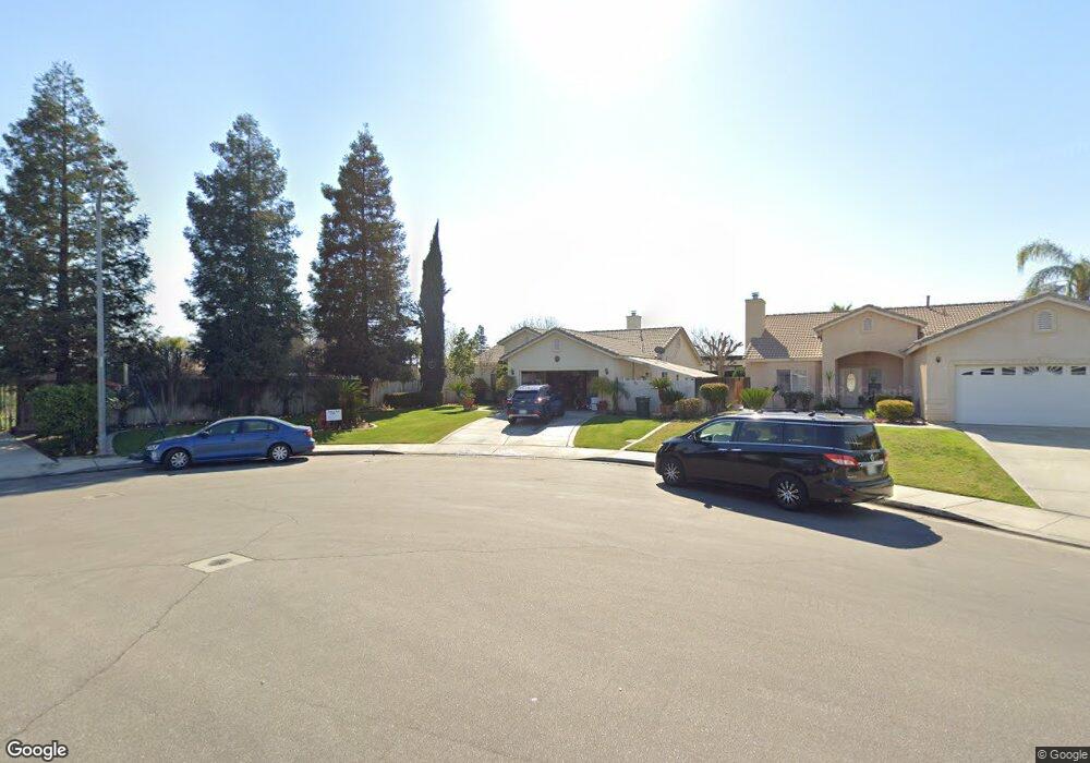
3707 Amherst Forest Rd Bakersfield, CA 93313
Stonegate NeighborhoodEstimated Value: $333,000 - $367,000
4
Beds
2
Baths
1,436
Sq Ft
$249/Sq Ft
Est. Value
About This Home
This home is located at 3707 Amherst Forest Rd, Bakersfield, CA 93313 and is currently estimated at $357,233, approximately $248 per square foot. 3707 Amherst Forest Rd is a home located in Kern County with nearby schools including Berkshire Elementary School, Stonecreek Junior High School, and Ridgeview High School.
Ownership History
Date
Name
Owned For
Owner Type
Purchase Details
Closed on
May 7, 2002
Sold by
Stuart Thomas Inc
Bought by
Jaramillo Miguel
Current Estimated Value
Home Financials for this Owner
Home Financials are based on the most recent Mortgage that was taken out on this home.
Original Mortgage
$121,900
Outstanding Balance
$52,197
Interest Rate
7.13%
Mortgage Type
FHA
Estimated Equity
$305,036
Create a Home Valuation Report for This Property
The Home Valuation Report is an in-depth analysis detailing your home's value as well as a comparison with similar homes in the area
Home Values in the Area
Average Home Value in this Area
Purchase History
| Date | Buyer | Sale Price | Title Company |
|---|---|---|---|
| Jaramillo Miguel | $123,000 | Fidelity National Title Co |
Source: Public Records
Mortgage History
| Date | Status | Borrower | Loan Amount |
|---|---|---|---|
| Open | Jaramillo Miguel | $121,900 | |
| Closed | Jaramillo Miguel | $7,379 |
Source: Public Records
Tax History
| Year | Tax Paid | Tax Assessment Tax Assessment Total Assessment is a certain percentage of the fair market value that is determined by local assessors to be the total taxable value of land and additions on the property. | Land | Improvement |
|---|---|---|---|---|
| 2025 | $2,913 | $189,067 | $44,305 | $144,762 |
| 2024 | $2,860 | $185,361 | $43,437 | $141,924 |
| 2023 | $2,860 | $181,728 | $42,586 | $139,142 |
| 2022 | $2,745 | $178,165 | $41,751 | $136,414 |
| 2021 | $2,628 | $174,673 | $40,933 | $133,740 |
| 2020 | $2,580 | $172,883 | $40,514 | $132,369 |
| 2019 | $2,541 | $172,883 | $40,514 | $132,369 |
| 2018 | $2,439 | $166,172 | $38,942 | $127,230 |
| 2017 | $2,396 | $162,915 | $38,179 | $124,736 |
| 2016 | $2,343 | $159,722 | $37,431 | $122,291 |
| 2015 | $2,326 | $157,324 | $36,869 | $120,455 |
| 2014 | $2,270 | $154,243 | $36,147 | $118,096 |
Source: Public Records
Map
Nearby Homes
- 3614 White Sands Dr
- 3921 White Sands Dr
- 7319 Chilibre St
- 7415 Asseri St
- 6851 Wible Rd
- 3404 Medallion Rose Ave
- 4110 Serene Oak Dr Unit 4
- 4206 Berkshire Rd
- 3902 Ocean Breeze Ave
- 7418 Wible Rd
- 4102 Sierra Redwood Dr Unit 2
- 6418 Ringsdale Ct
- 6419 Ringsdale Ct
- 7500 Wible Rd
- 4200 Mattnick Dr
- 7009 Kings Forest Ct
- 3900 Waterfall Canyon Dr
- 4121 Rio Viejo Dr
- 3313 Amazon Dr
- 4014 Waterfall Canyon Dr
- 3715 Amherst Forest Rd
- 3801 Amherst Forest Rd
- 3706 Amherst Forest Rd
- 3710 Amherst Forest Rd
- 3714 Amherst Forest Rd
- 3805 Amherst Forest Rd
- 3800 Amherst Forest Rd
- 7011 Blaze Rose St
- 3809 Amherst Forest Rd
- 7007 Blaze Rose St
- 3804 Amherst Forest Rd
- 3709 White Sands Dr
- 3705 White Sands Dr
- 3713 White Sands Dr
- 7015 Blaze Rose St
- 7003 Blaze Rose St
- 3717 White Sands Dr
- 3701 White Sands Dr
- 3808 Amherst Forest Rd
- 3813 Amherst Forest Rd
Your Personal Tour Guide
Ask me questions while you tour the home.