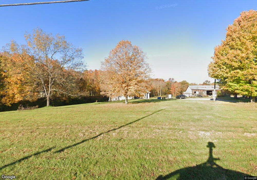
3709 State Route 222 Batavia, OH 45103
Estimated Value: $345,000
3
Beds
2
Baths
1,825
Sq Ft
$189/Sq Ft
Est. Value
About This Home
This home is located at 3709 State Route 222, Batavia, OH 45103 and is currently estimated at $345,000, approximately $189 per square foot. 3709 State Route 222 is a home located in Clermont County with nearby schools including Batavia Elementary School, Batavia Middle School, and Batavia High School.
Ownership History
Date
Name
Owned For
Owner Type
Purchase Details
Closed on
Jul 1, 2019
Sold by
Bruner William Lee and Bruner Amy Marie
Bought by
Bruner William Lee and Bruner Amy Marie
Current Estimated Value
Purchase Details
Closed on
Apr 15, 1999
Sold by
Bruner Wilma
Bought by
Bruner William L Amy M
Create a Home Valuation Report for This Property
The Home Valuation Report is an in-depth analysis detailing your home's value as well as a comparison with similar homes in the area
Home Values in the Area
Average Home Value in this Area
Purchase History
| Date | Buyer | Sale Price | Title Company |
|---|---|---|---|
| Bruner William Lee | -- | None Available | |
| Bruner William L Amy M | $1,500 | -- |
Source: Public Records
Mortgage History
| Date | Status | Borrower | Loan Amount |
|---|---|---|---|
| Previous Owner | Bruner William Lee | $100,000 | |
| Previous Owner | Bruner William Lee | $178,728 | |
| Previous Owner | Bruner William Lee | $195,000 | |
| Previous Owner | Bruner William L | $60,000 | |
| Previous Owner | Bruner William Lee | $40,000 |
Source: Public Records
Tax History Compared to Growth
Tax History
| Year | Tax Paid | Tax Assessment Tax Assessment Total Assessment is a certain percentage of the fair market value that is determined by local assessors to be the total taxable value of land and additions on the property. | Land | Improvement |
|---|---|---|---|---|
| 2024 | $2,916 | $85,890 | $21,910 | $63,980 |
| 2023 | $2,922 | $85,890 | $21,910 | $63,980 |
| 2022 | $3,849 | $85,890 | $21,910 | $63,980 |
| 2021 | $3,885 | $85,890 | $21,910 | $63,980 |
| 2020 | $3,905 | $85,890 | $21,910 | $63,980 |
| 2019 | $3,711 | $81,940 | $26,740 | $55,200 |
| 2018 | $3,838 | $81,940 | $26,740 | $55,200 |
| 2017 | $3,434 | $81,940 | $26,740 | $55,200 |
| 2016 | $3,434 | $72,100 | $23,240 | $48,860 |
| 2015 | $3,211 | $72,100 | $23,240 | $48,860 |
| 2014 | $3,211 | $63,570 | $21,600 | $41,970 |
| 2013 | $3,374 | $65,110 | $21,040 | $44,070 |
Source: Public Records
Map
Nearby Homes
- Dayton Plan at Heritage Farm
- Milford Plan at Heritage Farm
- Fairfax Plan at Heritage Farm
- Newcastle Plan at Heritage Farm
- Henley Plan at Heritage Farm
- Cortland Plan at Heritage Farm
- 3663 Heritage Farm Ln
- 3658 Heritage Farm Ln
- 1563 Gabriel Way
- 3655 Heritage Farm Ln
- 3651 Heritage Farm Ln
- 3647 Heritage Farm Ln
- 3639 Heritage Farm Ln
- 3683 State Route 132
- 1440 Woodbury Glen Dr
- 3472 Winter Holly Dr
- 1408 Apple Farm Dr
- 3965 Applegate Ct
- 117 Wooded Ridge Dr
- 100 Mt Holly Rd
- 3701 State Route 222
- 3742 State Route 222
- 3655 State Route 222
- 3656 State Route 222
- 3653 State Route 222
- 3654 State Route 222
- 100 Mount Holly Ln
- 3344 State Route 222
- 120 Mount Holly Ln
- 115 Mount Holly Ln
- 90 Mount Holly Ln
- 97 Mount Holly Ln
- 86 Mount Holly Ln
- 82 Mount Holly Ln
- 82 Mount Holly Ln
- 82 Mount Holly Ln
- 89 Mount Holly Ln
- 93 Mount Holly Ln
- 54 Mount Holly Ln
- 81 Mount Holly Ln