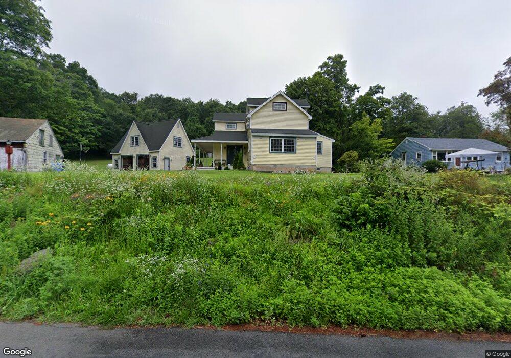
371 Howd Rd Durham, CT 06422
Estimated Value: $413,000 - $497,000
2
Beds
3
Baths
1,924
Sq Ft
$229/Sq Ft
Est. Value
About This Home
This home is located at 371 Howd Rd, Durham, CT 06422 and is currently estimated at $441,551, approximately $229 per square foot. 371 Howd Rd is a home located in Middlesex County with nearby schools including Frank Ward Strong School and Coginchaug Regional High School.
Ownership History
Date
Name
Owned For
Owner Type
Purchase Details
Closed on
May 20, 1999
Sold by
Est Forline Eleanor and Forline Louis
Bought by
Mik Edward P
Current Estimated Value
Home Financials for this Owner
Home Financials are based on the most recent Mortgage that was taken out on this home.
Original Mortgage
$109,100
Interest Rate
6.88%
Create a Home Valuation Report for This Property
The Home Valuation Report is an in-depth analysis detailing your home's value as well as a comparison with similar homes in the area
Home Values in the Area
Average Home Value in this Area
Purchase History
| Date | Buyer | Sale Price | Title Company |
|---|---|---|---|
| Mik Edward P | $114,900 | -- |
Source: Public Records
Mortgage History
| Date | Status | Borrower | Loan Amount |
|---|---|---|---|
| Open | Mik Edward P | $165,000 | |
| Closed | Mik Edward P | $109,100 |
Source: Public Records
Tax History
| Year | Tax Paid | Tax Assessment Tax Assessment Total Assessment is a certain percentage of the fair market value that is determined by local assessors to be the total taxable value of land and additions on the property. | Land | Improvement |
|---|---|---|---|---|
| 2025 | $6,789 | $181,580 | $75,680 | $105,900 |
| 2024 | $6,482 | $181,580 | $75,670 | $105,910 |
| 2023 | $6,315 | $181,580 | $75,670 | $105,910 |
| 2022 | $6,277 | $181,580 | $75,670 | $105,910 |
| 2021 | $6,457 | $181,580 | $75,670 | $105,910 |
| 2020 | $6,983 | $195,160 | $70,770 | $124,390 |
| 2019 | $7,004 | $195,160 | $70,770 | $124,390 |
| 2018 | $7,123 | $195,160 | $70,770 | $124,390 |
| 2017 | $7,709 | $195,160 | $70,770 | $124,390 |
| 2016 | $6,891 | $195,160 | $70,770 | $124,390 |
| 2015 | $6,830 | $202,440 | $85,540 | $116,900 |
| 2014 | $6,725 | $202,440 | $85,540 | $116,900 |
Source: Public Records
Map
Nearby Homes
- 121R Stage Coach Rd
- 52 Skylark Dr
- 24 Evergreen Rd
- 15r Clark Rd
- 0 Dinatale Dr
- 126 Cooke Rd
- 4 Jans Way
- 245 Reeds Gap Rd
- 148 & 153 Wallingford Rd
- 246 Reeds Gap Rd Unit 1D
- 16 Marie Ln
- 1039 Durham Rd
- 148 Wallingford Rd
- 27 Tamarac Swamp Rd
- 153 Wallingford Rd
- 4365 Durham Rd
- 66 Mohawk Trail Unit 66
- 46 Cliffside Dr
- 42 Saginaw Trail Unit 42
- 101 Grieb Rd
Your Personal Tour Guide
Ask me questions while you tour the home.