371 Patty Rd Ringgold, GA 30736
Beaumont NeighborhoodEstimated Value: $335,000 - $741,000
Studio
2
Baths
1,378
Sq Ft
$385/Sq Ft
Est. Value
About This Home
This home is located at 371 Patty Rd, Ringgold, GA 30736 and is currently estimated at $530,391, approximately $384 per square foot. 371 Patty Rd is a home located in Catoosa County with nearby schools including Woodstation Elementary School, Heritage Middle School, and Heritage High School.
Ownership History
Date
Name
Owned For
Owner Type
Purchase Details
Closed on
Nov 19, 2024
Sold by
Farrow Billy Gene
Bought by
Farrow Jessica
Current Estimated Value
Purchase Details
Closed on
Nov 1, 2024
Sold by
Farrow Billy Gene
Bought by
Farrow Billy Gene
Purchase Details
Closed on
May 26, 2022
Sold by
Farrow Roy Eugene
Bought by
Farrow Billy Gene and Farrow Scott Ray
Purchase Details
Closed on
Aug 14, 2007
Sold by
Farrow Billy Gene
Bought by
Farrow Eugene Roy
Purchase Details
Closed on
Jan 22, 2007
Sold by
Farrow Scott Ray
Bought by
Farrow Eugene Roy
Home Financials for this Owner
Home Financials are based on the most recent Mortgage that was taken out on this home.
Original Mortgage
$51,849
Interest Rate
6.07%
Mortgage Type
New Conventional
Create a Home Valuation Report for This Property
The Home Valuation Report is an in-depth analysis detailing your home's value as well as a comparison with similar homes in the area
Home Values in the Area
Average Home Value in this Area
Purchase History
| Date | Buyer | Sale Price | Title Company |
|---|---|---|---|
| Farrow Jessica | $658,634 | -- | |
| Farrow Billy Gene | -- | -- | |
| Farrow Billy Gene | -- | -- | |
| Farrow Eugene Roy | -- | -- | |
| Farrow Eugene Roy | -- | -- |
Source: Public Records
Mortgage History
| Date | Status | Borrower | Loan Amount |
|---|---|---|---|
| Previous Owner | Farrow Eugene Roy | $51,849 |
Source: Public Records
Tax History
| Year | Tax Paid | Tax Assessment Tax Assessment Total Assessment is a certain percentage of the fair market value that is determined by local assessors to be the total taxable value of land and additions on the property. | Land | Improvement |
|---|---|---|---|---|
| 2025 | $3,752 | $197,631 | $52,559 | $145,072 |
| 2024 | $5,619 | $263,453 | $49,068 | $214,385 |
| 2023 | $4,620 | $206,365 | $49,068 | $157,297 |
| 2022 | $3,619 | $163,638 | $46,732 | $116,906 |
| 2021 | $3,382 | $163,638 | $46,732 | $116,906 |
| 2020 | $3,325 | $143,674 | $44,506 | $99,168 |
| 2019 | $3,314 | $143,674 | $44,506 | $99,168 |
| 2018 | $3,550 | $143,674 | $44,506 | $99,168 |
| 2017 | $3,451 | $141,683 | $44,506 | $97,177 |
| 2016 | $3,312 | $129,461 | $40,460 | $89,001 |
| 2015 | -- | $129,461 | $40,460 | $89,001 |
| 2014 | -- | $133,701 | $44,700 | $89,001 |
| 2013 | -- | $133,700 | $44,702 | $89,000 |
Source: Public Records
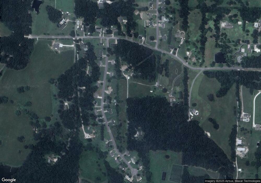
Map
Nearby Homes
- 25 Golden Pond Ln
- 391 Oak Tree Rd
- 428 Dodd Rd
- 299 Southern Dr
- 713 Mount Pisgah Rd
- 8690 Alabama Hwy
- 478 Dedmon Rd
- 56 Ginger Dr
- 486 E Sharon Cir
- 8 E Sharon Cir
- 235 Potts Rd
- 2578 Poplar Springs Rd
- 81 Shrader Ln
- 417 Davis Ridge Rd
- 0 Alabama Hwy Unit 10586300
- 0 Alabama Hwy Unit 1518818
- 141 Harbour Ln
- 15 Windy Hill Dr
- 63 Sunset Dr
- 3262 Poplar Springs Rd
- 79 Harden Dr
- 53 Harden Dr
- 417 Patty Rd
- 103 Harden Dr
- 68 Harden Dr
- 68 Harden Dr Unit LT 5
- 90 Harden Dr
- 453 Patty Rd
- 392 Patty Rd
- 372 Patty Rd
- 19 Melissa Dr Unit 3
- 19 Melissa Dr
- 136 Harden Dr
- 51 Henson Ln
- 428 Patty Rd
- 0 Harden Dr Unit 962160
- 0 Harden Dr Unit 963513
- 0 Harden Dr Unit 962371
- 0 Harden Dr Unit 956992
- 0 Harden Dr Unit 961759
Your Personal Tour Guide
Ask me questions while you tour the home.