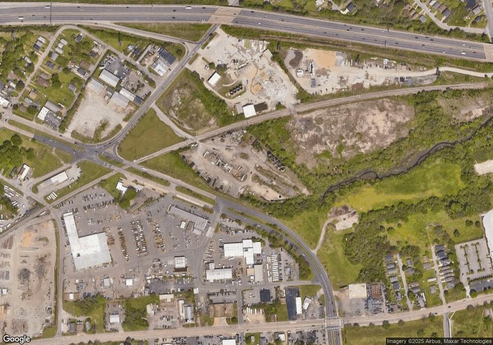
371 Rip Rap Rd Hampton, VA 23669
Old North Hampton NeighborhoodEstimated Value: $2,831,288
Studio
--
Bath
850
Sq Ft
$3,331/Sq Ft
Est. Value
About This Home
This home is located at 371 Rip Rap Rd, Hampton, VA 23669 and is currently estimated at $2,831,288, approximately $3,330 per square foot. 371 Rip Rap Rd is a home located in Hampton City with nearby schools including Mary S. Peake Elementary School, C. Alton Lindsay Middle School, and Kecoughtan High School.
Ownership History
Date
Name
Owned For
Owner Type
Purchase Details
Closed on
Dec 1, 2023
Sold by
Doug Dalton Trust
Bought by
Branscome Realty Llc
Current Estimated Value
Purchase Details
Closed on
Feb 16, 2001
Sold by
Branscome Enterprises Llc
Bought by
Branscome Inc
Create a Home Valuation Report for This Property
The Home Valuation Report is an in-depth analysis detailing your home's value as well as a comparison with similar homes in the area
Home Values in the Area
Average Home Value in this Area
Purchase History
| Date | Buyer | Sale Price | Title Company |
|---|---|---|---|
| Branscome Realty Llc | -- | None Listed On Document | |
| Doug Dalton Trust | -- | None Listed On Document | |
| Branscome Holding Llc | -- | None Listed On Document | |
| Branscome Inc | $900,000 | -- |
Source: Public Records
Tax History
| Year | Tax Paid | Tax Assessment Tax Assessment Total Assessment is a certain percentage of the fair market value that is determined by local assessors to be the total taxable value of land and additions on the property. | Land | Improvement |
|---|---|---|---|---|
| 2025 | $24,196 | $1,079,400 | $1,025,800 | $53,600 |
| 2024 | $12,413 | $1,079,400 | $1,025,800 | $53,600 |
| 2023 | $12,476 | $1,075,500 | $997,100 | $78,400 |
| 2022 | $12,691 | $1,075,500 | $997,100 | $78,400 |
| 2021 | $28,671 | $1,075,500 | $997,100 | $78,400 |
| 2020 | $13,336 | $1,075,500 | $997,100 | $78,400 |
| 2019 | $13,656 | $1,101,300 | $997,100 | $104,200 |
| 2018 | $24,743 | $1,101,300 | $997,100 | $104,200 |
| 2017 | $24,743 | $0 | $0 | $0 |
| 2016 | $24,743 | $1,101,300 | $0 | $0 |
| 2015 | $24,743 | $0 | $0 | $0 |
| 2014 | $23,554 | $1,101,300 | $997,100 | $104,200 |
Source: Public Records
Map
Nearby Homes
- 915 Langley Ave
- 925 Quash St
- 1127 Rowe St
- 414 Harrison St
- 718 Langley Ave
- 323 Bassette St
- 712 Langley Ave
- 382 Union St
- 710 N Back River Rd
- 358 Lincoln St
- 845 N King St
- 741 N Back River Rd Unit B
- 741 N Back River Rd Unit A
- 28 Maplewood St
- 115 E Pembroke Ave
- 1209 Parkside Ave
- 373 W Queen St
- 363 W Queen St
- 19 Maplewood St
- 381 W Queen St
- 319 Rip Rap Rd
- 317 Rip Rap Rd
- 530 N Armistead Ave
- 391 Rip Rap Rd
- 419 N Armistead Ave
- 824 Spring St
- 316 Rip Rap Rd
- 332 Rip Rap Rd
- 334 Rip Rap Rd
- 403 Rip Rap Rd
- 531 N Armistead Ave
- 1001 Thomas St
- 310 Rip Rap Rd
- 314 Rip Rap Rd
- 1009 Guy St
- 533 N Armistead Ave
- 402 Rip Rap Rd
- 1014 Thomas St
- 239 Rip Rap Rd
- 313 Heffelfinger St
