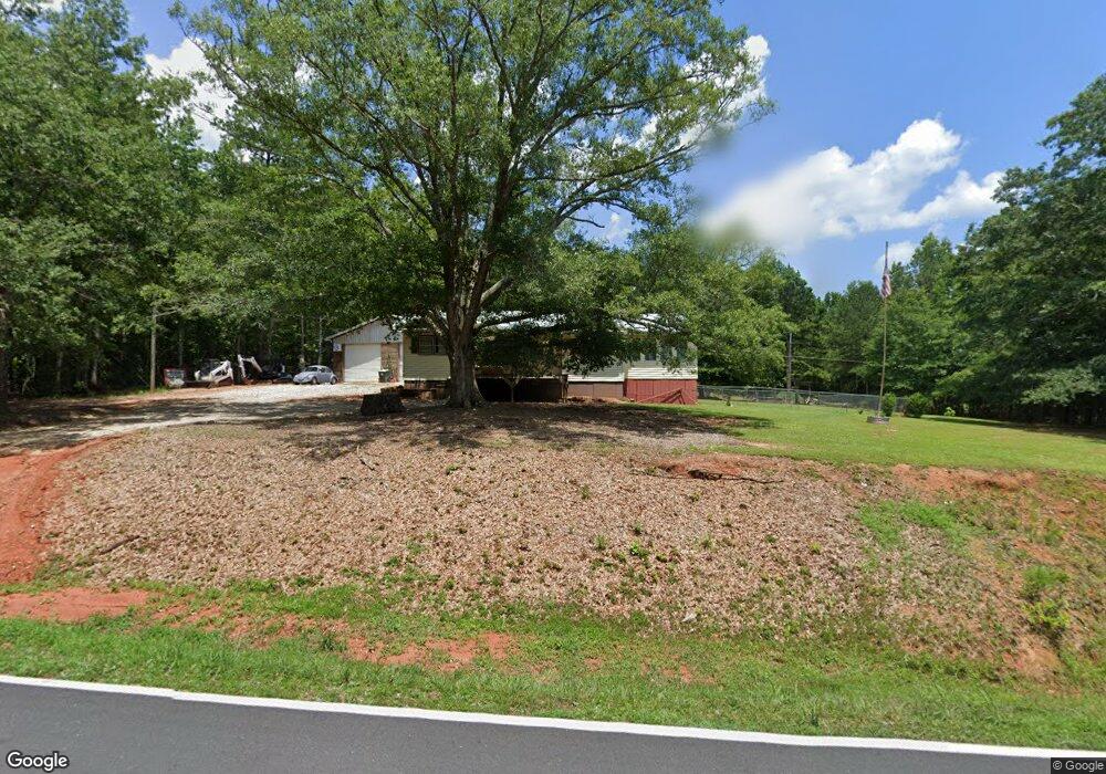
371 Tommie Rd Lagrange, GA 30240
Estimated Value: $171,000 - $227,000
2
Beds
1
Bath
1,458
Sq Ft
$134/Sq Ft
Est. Value
About This Home
This home is located at 371 Tommie Rd, Lagrange, GA 30240 and is currently estimated at $194,683, approximately $133 per square foot. 371 Tommie Rd is a home located in Troup County with nearby schools including Long Cane Elementary School, Whitesville Road Elementary School, and West Point Elementary School.
Ownership History
Date
Name
Owned For
Owner Type
Purchase Details
Closed on
Feb 3, 2014
Sold by
Deutsche Bank National Tru
Bought by
Neese Christopher
Current Estimated Value
Purchase Details
Closed on
Jul 2, 2013
Sold by
Wilson Richard
Bought by
Deutsche Bank National Trust C
Purchase Details
Closed on
Oct 26, 2005
Sold by
Gill Delores M
Bought by
Wilson Richard
Home Financials for this Owner
Home Financials are based on the most recent Mortgage that was taken out on this home.
Original Mortgage
$48,000
Interest Rate
5.84%
Mortgage Type
New Conventional
Purchase Details
Closed on
Aug 3, 2004
Sold by
Susan Rodney and Susan Duncan
Bought by
Delores M Gill
Purchase Details
Closed on
Jul 11, 1968
Sold by
Mary Charlie and Mary Givins
Bought by
Susan Rodney and Susan Duncan
Purchase Details
Closed on
Jan 1, 1962
Sold by
Betty William and Betty Hughey
Bought by
Mary Charlie and Mary Givins
Create a Home Valuation Report for This Property
The Home Valuation Report is an in-depth analysis detailing your home's value as well as a comparison with similar homes in the area
Purchase History
| Date | Buyer | Sale Price | Title Company |
|---|---|---|---|
| Neese Christopher | $20,000 | -- | |
| Neese Christopher | $20,000 | -- | |
| Deutsche Bank National Trust C | $36,156 | -- | |
| Deutsche Bank National Trust C | $36,156 | -- | |
| Wilson Richard | $60,000 | -- | |
| Wilson Richard | $60,000 | -- | |
| Delores M Gill | -- | -- | |
| Delores M Gill | -- | -- | |
| Susan Rodney | -- | -- | |
| Susan Rodney | -- | -- | |
| Mary Charlie | -- | -- | |
| Mary Charlie | -- | -- |
Source: Public Records
Mortgage History
| Date | Status | Borrower | Loan Amount |
|---|---|---|---|
| Previous Owner | Wilson Richard | $48,000 | |
| Previous Owner | Wilson Richard | $12,000 |
Source: Public Records
Tax History
| Year | Tax Paid | Tax Assessment Tax Assessment Total Assessment is a certain percentage of the fair market value that is determined by local assessors to be the total taxable value of land and additions on the property. | Land | Improvement |
|---|---|---|---|---|
| 2025 | $1,460 | $53,532 | $8,200 | $45,332 |
| 2024 | $1,293 | $47,412 | $8,200 | $39,212 |
| 2023 | $1,189 | $43,612 | $8,200 | $35,412 |
| 2022 | $1,136 | $40,692 | $8,200 | $32,492 |
| 2021 | $517 | $17,156 | $6,520 | $10,636 |
| 2020 | $517 | $17,156 | $6,520 | $10,636 |
| 2019 | $514 | $17,036 | $6,520 | $10,516 |
| 2018 | $484 | $16,052 | $6,520 | $9,532 |
| 2017 | $483 | $16,012 | $6,520 | $9,492 |
| 2016 | $507 | $16,822 | $6,544 | $10,278 |
| 2015 | $242 | $8,000 | $2,349 | $5,651 |
| 2014 | $693 | $22,906 | $6,544 | $16,362 |
| 2013 | -- | $23,674 | $6,544 | $17,130 |
Source: Public Records
Map
Nearby Homes
- 215 Harris Walk
- 211 Harris Walk
- 223 Harris Walk
- 209 Harris Walk
- 225 Harris Walk
- 221 Harris Walk
- 1605 Bartley Rd
- 145 Jarrell Hogg Rd
- 3913 Whitesville Rd
- 101 Garden Walk
- 101 Garden Walk Unit 85
- 107 Amhurst Dr
- 0 Cannonville Rd
- 4172 Bartley Rd
- 648 Warner Rd
- 0 Warner Rd Unit 10686116
- 143 W Drummond Rd
- 151 W Drummond Rd
- 157 W Drummond Rd
- 137 W Drummond Rd
- 371 Tomme Rd
- 405 Tomme Rd
- 271 Tommie Rd
- 411 Tomme Rd
- 420 Tomme Rd
- 311 Tomme Rd
- 311 Tomme Rd
- 0 Tomme Rd Unit 10238678
- 0 Tomme Rd Unit 20028047
- 0 Tomme Rd Unit TRACK 10 7309385
- 0 Tomme Rd Unit 7363643
- 0 Tomme Rd Unit 7112168
- 0 Tomme Rd Unit 7001700
- 0 Tomme Rd Unit 8940829
- 0 Tomme Rd Unit 8943430
- 300 Tomme Rd
- 300 Tomme Rd
- 478 Tomme Rd
- 271 Tomme Rd
- 271 Tomme Rd
Your Personal Tour Guide
Ask me questions while you tour the home.