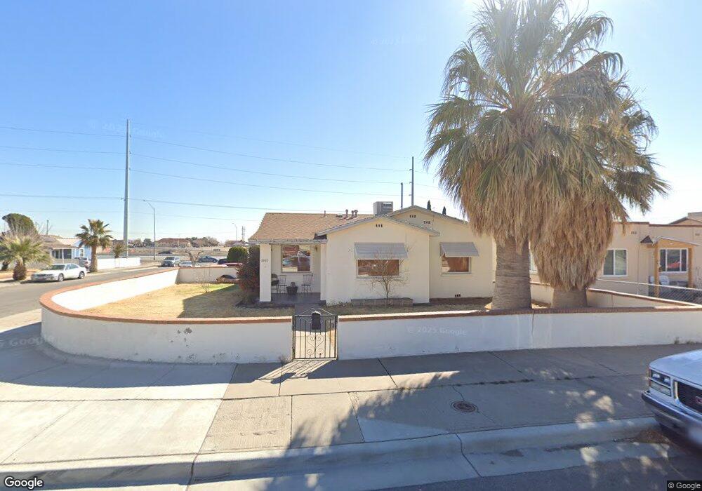
3710 Pollard St El Paso, TX 79930
Central NeighborhoodEstimated Value: $196,000 - $237,000
3
Beds
2
Baths
1,435
Sq Ft
$151/Sq Ft
Est. Value
About This Home
This home is located at 3710 Pollard St, El Paso, TX 79930 and is currently estimated at $216,359, approximately $150 per square foot. 3710 Pollard St is a home located in El Paso County with nearby schools including Rusk Elementary School, Middle School-5 NW Middle, and Austin High School.
Ownership History
Date
Name
Owned For
Owner Type
Purchase Details
Closed on
Feb 13, 2007
Sold by
Hartley Mary A Barefoot
Bought by
Frese Joseph E
Current Estimated Value
Home Financials for this Owner
Home Financials are based on the most recent Mortgage that was taken out on this home.
Original Mortgage
$68,495
Outstanding Balance
$41,048
Interest Rate
6.17%
Mortgage Type
Purchase Money Mortgage
Estimated Equity
$175,311
Create a Home Valuation Report for This Property
The Home Valuation Report is an in-depth analysis detailing your home's value as well as a comparison with similar homes in the area
Home Values in the Area
Average Home Value in this Area
Purchase History
| Date | Buyer | Sale Price | Title Company |
|---|---|---|---|
| Frese Joseph E | -- | None Available |
Source: Public Records
Mortgage History
| Date | Status | Borrower | Loan Amount |
|---|---|---|---|
| Open | Frese Joseph E | $68,495 |
Source: Public Records
Tax History Compared to Growth
Tax History
| Year | Tax Paid | Tax Assessment Tax Assessment Total Assessment is a certain percentage of the fair market value that is determined by local assessors to be the total taxable value of land and additions on the property. | Land | Improvement |
|---|---|---|---|---|
| 2025 | $4,217 | $175,237 | $25,034 | $150,203 |
| 2024 | $4,217 | $175,237 | $25,034 | $150,203 |
| 2023 | $3,745 | $135,388 | $10,218 | $125,170 |
| 2022 | $3,740 | $126,341 | $10,218 | $116,123 |
| 2021 | $3,074 | $98,441 | $10,218 | $88,223 |
| 2020 | $3,023 | $98,349 | $10,218 | $88,131 |
| 2018 | $2,886 | $97,523 | $10,218 | $87,305 |
| 2017 | $2,597 | $92,195 | $10,218 | $81,977 |
| 2016 | $2,597 | $92,195 | $10,218 | $81,977 |
| 2015 | $2,562 | $92,195 | $10,218 | $81,977 |
| 2014 | $2,562 | $93,638 | $10,218 | $83,420 |
Source: Public Records
Map
Nearby Homes
- 3901 Mckinley Ave
- 3905 Monroe Ave
- 3921 Nations Ave
- 3831 Mountain Ave
- 3806 Mountain Ave
- 3704 Mckinley Ave
- 3906 Taylor Ave
- 3827 Idalia Ave
- 3606 Morehead Ave
- 3413 Monroe Ave
- 3501 Polk Ave
- 4029 Lincoln Ave
- 3510 Porter Ave
- 3921 Mobile Ave
- 3501 Taylor Ave
- 3808 Johnson Ave
- 3905 Nashville Ave
- 3427 Hamilton Ave
- 3312 Polk Ave
- 3524 Mobile Ave
- 3708 Pollard St
- 4104 Payne Cir
- 3706 Pollard St
- 4108 Payne Cir
- 3724 Pollard St
- 4103 Payne Cir
- 3713 Pollard St
- 3715 Pollard St
- 3704 Pollard St
- 3711 Pollard St
- 4105 Payne Cir
- 3717 Pollard St
- 3801 Gatewaysouth
- 3801 Gateway Blvd S Unit A & B
- 3801 Gateway Blvd S Unit A
- 3801 Gateway Blvd S Unit B
- 3801 Gateway Blvd S
- 3801 Gateway South Blvd Unit B Blvd Unit B
- 3709 Pollard St
- 3702 Pollard St