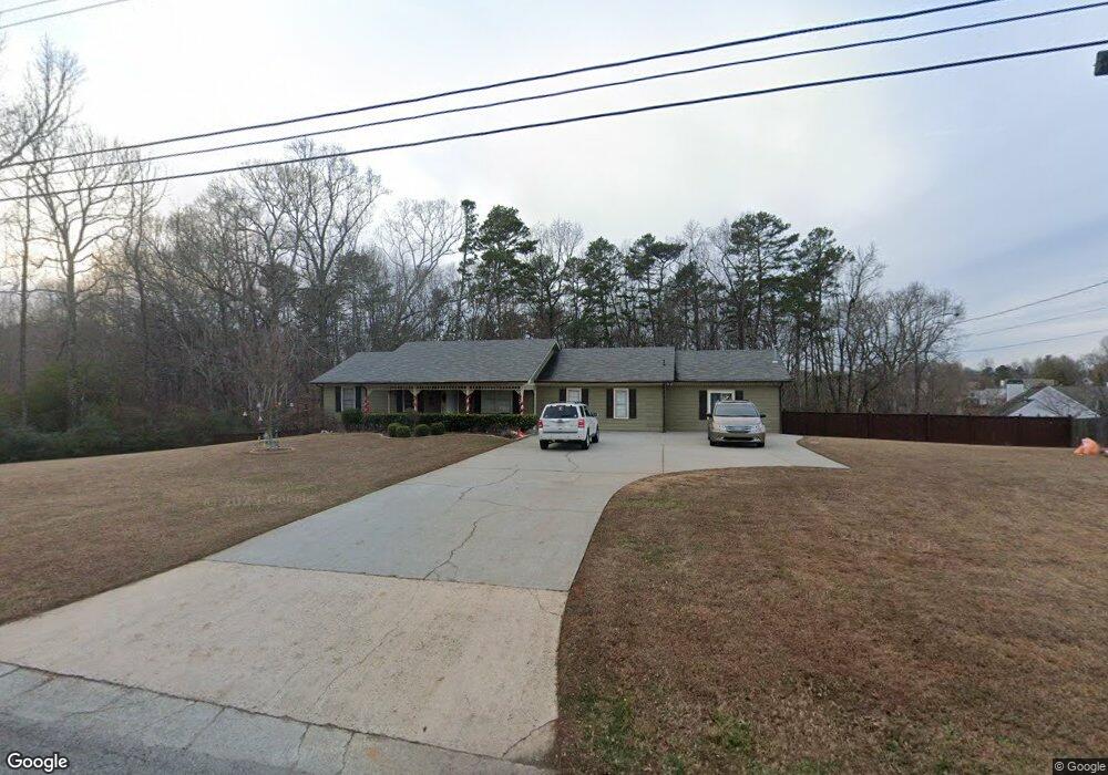
3710 S Bogan Rd Buford, GA 30519
Estimated Value: $358,000 - $429,000
4
Beds
2
Baths
1,194
Sq Ft
$336/Sq Ft
Est. Value
About This Home
This home is located at 3710 S Bogan Rd, Buford, GA 30519 and is currently estimated at $400,705, approximately $335 per square foot. 3710 S Bogan Rd is a home located in Gwinnett County with nearby schools including Buford Elementary School, Buford Senior Academy, and Buford Academy.
Ownership History
Date
Name
Owned For
Owner Type
Purchase Details
Closed on
Jan 11, 2019
Sold by
Gobran Shereen
Bought by
Gobran Hany A
Current Estimated Value
Purchase Details
Closed on
Mar 27, 2018
Sold by
Gobran Hany A
Bought by
Gobran Shereen
Purchase Details
Closed on
Aug 26, 2016
Sold by
Gina R
Bought by
Gobran Hany A
Home Financials for this Owner
Home Financials are based on the most recent Mortgage that was taken out on this home.
Original Mortgage
$160,000
Interest Rate
3.48%
Mortgage Type
New Conventional
Create a Home Valuation Report for This Property
The Home Valuation Report is an in-depth analysis detailing your home's value as well as a comparison with similar homes in the area
Home Values in the Area
Average Home Value in this Area
Purchase History
| Date | Buyer | Sale Price | Title Company |
|---|---|---|---|
| Gobran Hany A | -- | -- | |
| Gobran Shereen | -- | -- | |
| Gobran Hany A | $175,000 | -- |
Source: Public Records
Mortgage History
| Date | Status | Borrower | Loan Amount |
|---|---|---|---|
| Previous Owner | Gobran Hany A | $160,000 |
Source: Public Records
Tax History Compared to Growth
Tax History
| Year | Tax Paid | Tax Assessment Tax Assessment Total Assessment is a certain percentage of the fair market value that is determined by local assessors to be the total taxable value of land and additions on the property. | Land | Improvement |
|---|---|---|---|---|
| 2024 | $813 | $118,920 | $24,000 | $94,920 |
| 2023 | $813 | $118,920 | $24,000 | $94,920 |
| 2022 | $813 | $87,840 | $14,000 | $73,840 |
| 2021 | $813 | $87,840 | $14,000 | $73,840 |
| 2020 | $861 | $87,840 | $14,000 | $73,840 |
| 2019 | $861 | $66,440 | $12,000 | $54,440 |
| 2018 | $519 | $53,520 | $12,000 | $41,520 |
| 2016 | $289 | $49,800 | $10,000 | $39,800 |
| 2015 | $298 | $49,800 | $10,000 | $39,800 |
| 2014 | -- | $51,840 | $16,000 | $35,840 |
Source: Public Records
Map
Nearby Homes
- 3600 Devenwood Way
- 3684 Heritage Crest Pkwy
- 2361 Black Bear Ct Unit 2
- 2183 Ivy Crest Dr
- 2140 Harvest Ridge Cir
- 2040 Harvest Ridge Cir
- 2040 Harvest Ridge Cir NE
- 2692 Bogan Creek Dr
- 3476 Harvest Ridge Ln
- 3573 Fallen Oak Dr
- 4041 Lost Mill Ln
- 1970 Sturbridge Ln Unit 1
- 2330 Chandler Grove Dr
- 3685 Rolling Creek Dr
- 2551 E Maddox Rd
- 3534 Fallen Oak Ln
- 3560 Hanover Dr
- 2101 E Maddox Rd
- 3610 Devenwood Way
- 2288 Fox Run Trail
- 3621 Devenwood Way
- 3601 Quail Creek Dr
- 0 Quail Creek Dr Unit 9039961
- 0 Quail Creek Dr Unit 7129672
- 0 Quail Creek Dr Unit 7548713
- 3620 Devenwood Way
- 3611 Quail Creek Dr
- 2278 Fox Run Trail
- 3631 Devenwood Way
- 3630 Devenwood Way
- 3718 Kasey Ln
- 3600 Quail Creek Dr
- 3719 Kasey Ln
- 0 Fox Run Trail
- 3650 Devenwood Way
- 3610 Quail Creek Dr
- 3519 Silver Fox Path
- 0 Kasey Ln Unit 8796595