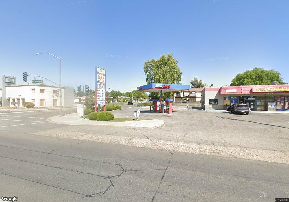
3711 Mount Vernon Ave Bakersfield, CA 93306
College Heights NeighborhoodEstimated Value: $2,009,315
--
Bed
--
Bath
3,065
Sq Ft
$656/Sq Ft
Est. Value
About This Home
This home is located at 3711 Mount Vernon Ave, Bakersfield, CA 93306 and is currently estimated at $2,009,315, approximately $655 per square foot. 3711 Mount Vernon Ave is a home located in Kern County with nearby schools including Colonel Howard Nichols Elementary School, Chipman Junior High School, and East Bakersfield High School.
Ownership History
Date
Name
Owned For
Owner Type
Purchase Details
Closed on
Nov 17, 2022
Sold by
Karris Properties
Bought by
Karris Properties
Current Estimated Value
Home Financials for this Owner
Home Financials are based on the most recent Mortgage that was taken out on this home.
Original Mortgage
$1,510,000
Interest Rate
6.95%
Mortgage Type
New Conventional
Purchase Details
Closed on
Oct 9, 2008
Sold by
B Dhaliwal Two Inc
Bought by
Karris Properties
Home Financials for this Owner
Home Financials are based on the most recent Mortgage that was taken out on this home.
Original Mortgage
$400,000
Interest Rate
6.1%
Mortgage Type
Commercial
Purchase Details
Closed on
Sep 9, 2008
Sold by
Esa and Esa
Bought by
B Dhaliwal Two Inc
Home Financials for this Owner
Home Financials are based on the most recent Mortgage that was taken out on this home.
Original Mortgage
$400,000
Interest Rate
6.1%
Mortgage Type
Commercial
Purchase Details
Closed on
Dec 13, 2005
Sold by
Dhaliwal Binder
Bought by
B Dhaliwal Inc
Purchase Details
Closed on
Aug 2, 2005
Sold by
B Dhaliwal Inc
Bought by
Esa and Esa
Home Financials for this Owner
Home Financials are based on the most recent Mortgage that was taken out on this home.
Original Mortgage
$159,000
Interest Rate
6.63%
Mortgage Type
Commercial
Purchase Details
Closed on
Feb 24, 1997
Sold by
Abbasi Masoud and Abbasi Patricia S
Bought by
Dhaliwal Binder
Home Financials for this Owner
Home Financials are based on the most recent Mortgage that was taken out on this home.
Original Mortgage
$165,000
Interest Rate
7.63%
Mortgage Type
Commercial
Purchase Details
Closed on
Feb 14, 1997
Sold by
Dellar Family Tr and Sylvia
Bought by
Abbasi Masoud and Abbasi Patricia S
Home Financials for this Owner
Home Financials are based on the most recent Mortgage that was taken out on this home.
Original Mortgage
$165,000
Interest Rate
7.63%
Mortgage Type
Commercial
Create a Home Valuation Report for This Property
The Home Valuation Report is an in-depth analysis detailing your home's value as well as a comparison with similar homes in the area
Home Values in the Area
Average Home Value in this Area
Purchase History
| Date | Buyer | Sale Price | Title Company |
|---|---|---|---|
| Karris Properties | $1,800,000 | Ticor Title Company | |
| Karris Properties | -- | Ticor Title Company | |
| B Dhaliwal Two Inc | -- | Ticor Title | |
| B Dhaliwal Inc | -- | Fidelity Title | |
| Esa | $800,000 | Fidelity National Title Co | |
| Dhaliwal Binder | $255,000 | Chicago Title Insurance | |
| Abbasi Masoud | $200,000 | Chicago Title Insurance |
Source: Public Records
Mortgage History
| Date | Status | Borrower | Loan Amount |
|---|---|---|---|
| Previous Owner | Karris Properties | $1,510,000 | |
| Previous Owner | Karris Properties | $400,000 | |
| Previous Owner | B Dhaliwal Two Inc | $120,000 | |
| Previous Owner | Esa | $159,000 | |
| Previous Owner | Dhaliwal Binder | $165,000 | |
| Closed | Dhaliwal Binder | $40,000 |
Source: Public Records
Tax History Compared to Growth
Tax History
| Year | Tax Paid | Tax Assessment Tax Assessment Total Assessment is a certain percentage of the fair market value that is determined by local assessors to be the total taxable value of land and additions on the property. | Land | Improvement |
|---|---|---|---|---|
| 2025 | $27,031 | $2,135,147 | $364,140 | $1,771,007 |
| 2024 | $27,031 | $2,276,535 | $357,000 | $1,919,535 |
| 2023 | $11,835 | $983,414 | $297,388 | $686,026 |
| 2022 | $11,602 | $958,885 | $291,557 | $667,328 |
| 2021 | $11,738 | $952,737 | $285,841 | $666,896 |
| 2020 | $12,484 | $1,006,451 | $286,523 | $719,928 |
| 2019 | $12,237 | $1,006,451 | $286,523 | $719,928 |
| 2018 | $11,937 | $967,371 | $275,398 | $691,973 |
| 2017 | $11,898 | $948,404 | $269,999 | $678,405 |
| 2016 | $10,720 | $929,808 | $264,705 | $665,103 |
| 2015 | $10,699 | $915,842 | $260,729 | $655,113 |
| 2014 | $10,345 | $897,903 | $255,622 | $642,281 |
Source: Public Records
Map
Nearby Homes
- 3901 Noel Place
- 3516 Dana St Unit 3
- 3516 Dana St Unit 10
- 2109 University Ave
- 2700 University Ave
- 3301 Mount Vernon Ave
- 2701 Kaibab Ave
- 2831 Crest Dr
- 2600 Driller Ave
- 3613 Fleetwood Way
- 3112 Saint Marys St
- 2801 Kaibab Ave
- 2913 Harmony Dr
- 3706 Rampart St
- 3113 Occidental St
- 2848 Summit Cir
- 3019 Christmas Tree Ln
- 1601 University Ave
- 1513 University Ave
- 2818 San Pablo Ave
- 3701 Mount Vernon Ave
- 3801 Mount Vernon Ave
- 2401 Christmas Tree Ln
- 2400 Christmas Tree Ln
- 3811 Mount Vernon Ave
- 2402 Christmas Tree Ln
- 3805 Noel Place
- 3819 Mount Vernon Ave
- 2404 Christmas Tree Ln
- 3807 Noel Place
- 2406 Christmas Tree Ln
- 3821 Mount Vernon Ave
- 3809 Noel Place
- 3811 Noel Place
- 3813 Noel Place
- 3815 Noel Place
- 3914 Noel Place
- 3903 Noel Place
- 3905 Noel Place
- 3752 Dana St