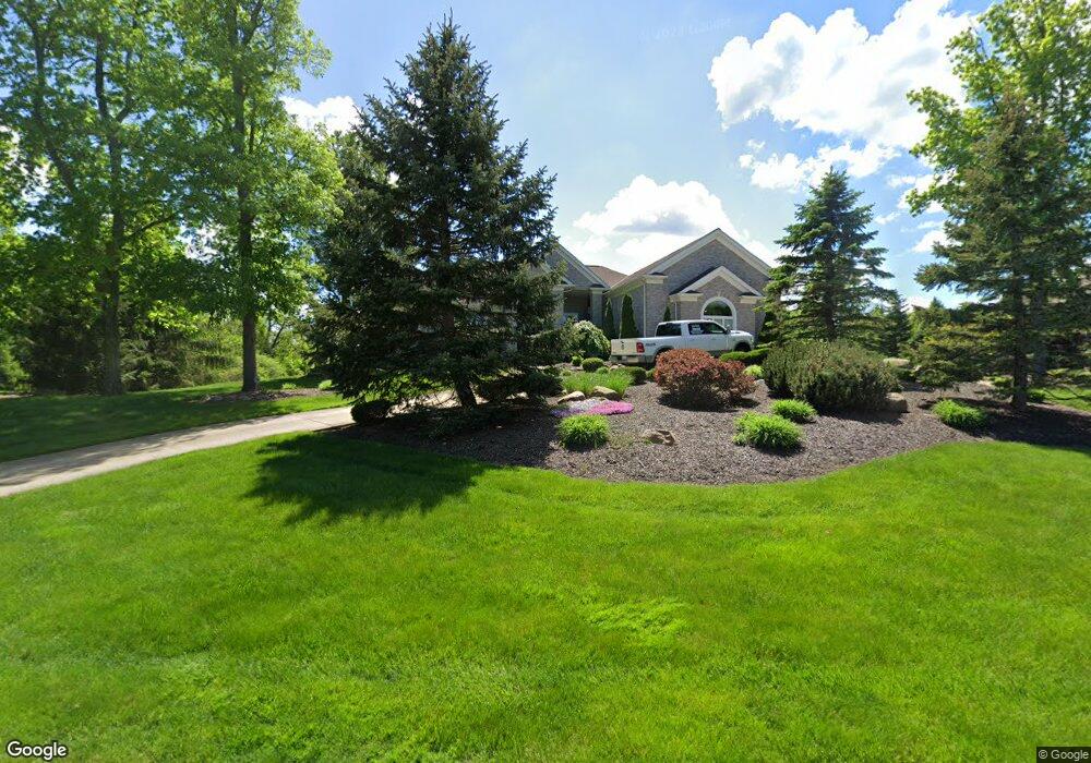
3712 Shetland Trail Richfield, OH 44286
Estimated Value: $768,000 - $992,000
3
Beds
3
Baths
2,956
Sq Ft
$294/Sq Ft
Est. Value
About This Home
This home is located at 3712 Shetland Trail, Richfield, OH 44286 and is currently estimated at $867,844, approximately $293 per square foot. 3712 Shetland Trail is a home located in Summit County with nearby schools including Richfield Elementary School, Bath Elementary School, and Revere Middle School.
Ownership History
Date
Name
Owned For
Owner Type
Purchase Details
Closed on
Aug 19, 2002
Sold by
Glencairn Corp
Bought by
Simmons Gary M and Simmons Patricia S
Current Estimated Value
Create a Home Valuation Report for This Property
The Home Valuation Report is an in-depth analysis detailing your home's value as well as a comparison with similar homes in the area
Home Values in the Area
Average Home Value in this Area
Purchase History
| Date | Buyer | Sale Price | Title Company |
|---|---|---|---|
| Simmons Gary M | $118,000 | Chicago Title Insurance Comp |
Source: Public Records
Mortgage History
| Date | Status | Borrower | Loan Amount |
|---|---|---|---|
| Open | Simmons Gary M | $213,000 | |
| Open | Simmons Gary M | $412,000 | |
| Closed | Simmons Gary M | $417,000 | |
| Closed | Simmons Gary M | $123,000 | |
| Closed | Simmons Gary M | $104,000 | |
| Closed | Simmons Gary M | $280,000 |
Source: Public Records
Tax History Compared to Growth
Tax History
| Year | Tax Paid | Tax Assessment Tax Assessment Total Assessment is a certain percentage of the fair market value that is determined by local assessors to be the total taxable value of land and additions on the property. | Land | Improvement |
|---|---|---|---|---|
| 2025 | $14,198 | $262,486 | $67,067 | $195,419 |
| 2024 | $13,454 | $262,486 | $67,067 | $195,419 |
| 2023 | $13,454 | $262,486 | $67,067 | $195,419 |
| 2022 | $13,471 | $228,246 | $58,317 | $169,929 |
| 2021 | $13,540 | $228,246 | $58,317 | $169,929 |
| 2020 | $13,004 | $228,250 | $58,320 | $169,930 |
| 2019 | $10,764 | $176,440 | $43,210 | $133,230 |
| 2018 | $10,661 | $176,440 | $43,210 | $133,230 |
| 2017 | $10,043 | $176,440 | $43,210 | $133,230 |
| 2016 | $10,439 | $164,450 | $43,210 | $121,240 |
| 2015 | $10,043 | $164,450 | $43,210 | $121,240 |
| 2014 | $9,951 | $164,450 | $43,210 | $121,240 |
| 2013 | $9,439 | $165,990 | $43,210 | $122,780 |
Source: Public Records
Map
Nearby Homes
- 3454 Skye Ridge Dr
- 3521 Hamilton Dr
- 3860 Sawbridge Dr Unit 21
- V/L Brecksville Rd
- 3849 Grant St
- 4780 W Streetsboro Rd
- 2201 Charles Ln
- 4226 Broadview Rd
- 4025 Meadowvale Ct
- 5073 W Streetsboro Rd
- 3381 Barrett Rd
- 5179 W Streetsboro Rd
- 4589 Alger Rd
- 3487 Crandall Ave
- 2396 Boston Mills Rd
- 77 Carr Rd
- 1302 Hillandale Dr
- 2917 W Bath Rd
- 6128 Riverview Rd
- 1345 Ledgewood Dr
- 3728 Shetland Trail
- 3721 Shetland Trail
- 3682 Shetland Trail
- 3671 Shetland Trail
- 3711 Shetland Trail
- 3691 Shetland Trail
- 3600 W Glencoe Rd
- 3668 Shetland Trail
- 3649 Macdonald Cir
- 3604 W Glencoe Rd
- 3601 W Glencoe Rd
- 3591 W Glencoe Rd
- 3582 W Glencoe Rd
- 3635 Macdonald Cir
- 3583 W Glencoe Rd
- 3564 W Glencoe Rd
- 3679 W Galloway Dr
- 3650 Shetland Trail
- 3669 W Galloway Dr
- 3634 Shetland Trail